2000s (21st Century) Maps of English, West Virginia
Explore 6 historic maps of English from the 2000s (21st Century). These maps offer a rare glimpse into what life looked like during the 2000s — showing old roads, neighborhoods, homes, and landmarks that have changed or disappeared over time.
Whether you're researching your family's past, planning a metal detecting trip, or studying how English's landscape evolved across the 2000s, these high-resolution maps are a powerful tool for exploring the history of this region.
- Focus on a specific era: All maps on this page are from the 2000s, giving you a focused view of this time period.
- See what’s changed: Compare century-old streets, trails, and buildings to today's modern landscape using overlays and satellite layers.
- Research with precision: Use these maps for genealogy, historical research, land use analysis, or educational projects.
- View, download, or print: Maps are fully viewable online in high resolution, and can be downloaded or printed for your own records.
Start exploring English's history through authentic maps from the 2000s. This is your window into the past.
English, WV maps
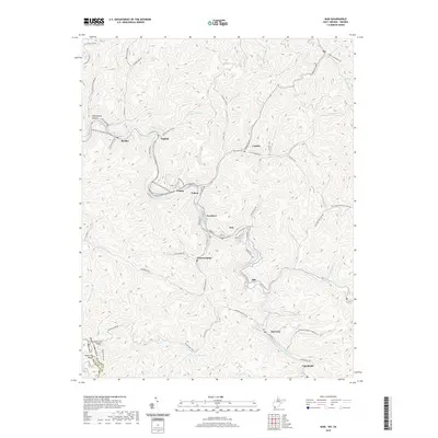
(6)- 2001 Map of War, 2003 Print
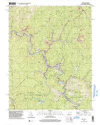 2001 War2003 Print · USGSMcDowell County's mining and mountain communities are captured here just after the turn of the millennium. Trace the industrial and family history of War, Berwind, and Bartley while following old routes along the Dry Fork.
 - 2011 Map of War, 2011 Print
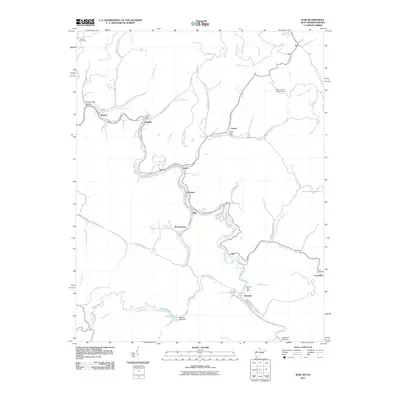 2011 War2011 Print · USGSCovers English, including War, Berwind, and other nearby areas
 - 2014 Map of War, 2014 Print
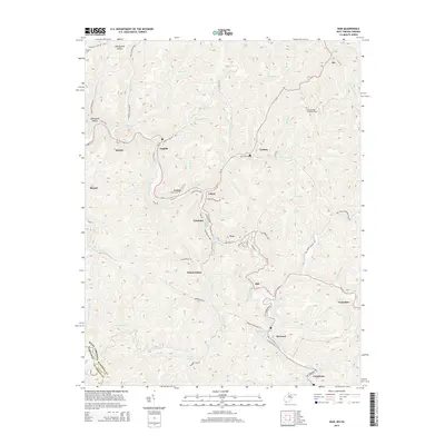 2014 War2014 Print · USGSCovers English, including War, Berwind, and other nearby areas
 - 2016 Map of War, 2016 Print
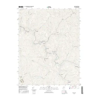 2016 War2016 Print · USGSCovers English, including War, Berwind, and other nearby areas
 - 2019 Map of War, 2019 Print
 2019 War2019 Print · USGSCovers English, including War, Berwind, and other nearby areas
 - 2023 Map of War, 2023 Print
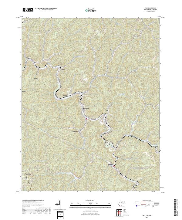 2023 War2023 Print · USGSSouthern West Virginia coal country is mapped in detail during the early 2020s, showing the tight-knit valley settlements along the Dry Fork. Researchers can trace the layout of Warriormine, Caretta, and Berwind or locate family sites like the Deskins Cem.
End of results
Showing maps 1-6 of 6
Top cities near English
- Tazewell historical maps
- Welch historical maps
- Gary historical maps
- War historical maps
- Pineville historical maps
- Raysal historical maps
See more
Frequently asked questions
- What are the different types of historical maps available for English?
- What is the oldest map of English?
- Where can I purchase historical maps of English for my home or office?
- Where can I download high-res historical maps of English?
- Are there historical topographic maps available for English?
- Is there historical aerial imagery available for English?
- Where are historical maps of English sourced from?