2000s (21st Century) Maps of Pageton, West Virginia
Explore 6 historic maps of Pageton from the 2000s (21st Century). These maps offer a rare glimpse into what life looked like during the 2000s — showing old roads, neighborhoods, homes, and landmarks that have changed or disappeared over time.
Whether you're researching your family's past, planning a metal detecting trip, or studying how Pageton's landscape evolved across the 2000s, these high-resolution maps are a powerful tool for exploring the history of this region.
- Focus on a specific era: All maps on this page are from the 2000s, giving you a focused view of this time period.
- See what’s changed: Compare century-old streets, trails, and buildings to today's modern landscape using overlays and satellite layers.
- Research with precision: Use these maps for genealogy, historical research, land use analysis, or educational projects.
- View, download, or print: Maps are fully viewable online in high resolution, and can be downloaded or printed for your own records.
Start exploring Pageton's history through authentic maps from the 2000s. This is your window into the past.
Pageton, WV maps
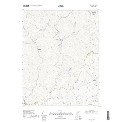
(6)- 2001 Map of Anawalt, 2003 Print
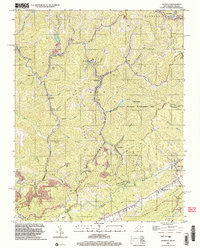 2001 Anawalt2003 Print · USGSThe West Virginia-Virginia borderlands appear at the start of the millennium, dominated by the winding rail lines and steep ridges of the coalfields. Researchers can trace local heritage through settlements like Anawalt, Jenkinjones, and Pageton, or locate several Cem sites and the Hay Ch tucked among the hollows.
 - 2011 Map of Anawalt, 2011 Print
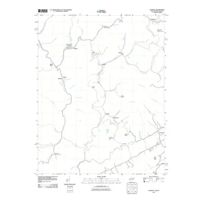 2011 Anawalt2011 Print · USGSCovers Pageton, including Boissevain, Anawalt, and other nearby areas
 - 2014 Map of Anawalt, 2014 Print
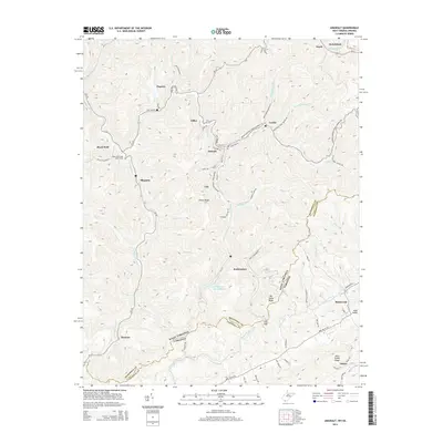 2014 Anawalt2014 Print · USGSCovers Pageton, including Boissevain, Anawalt, and other nearby areas
 - 2016 Map of Anawalt, 2016 Print
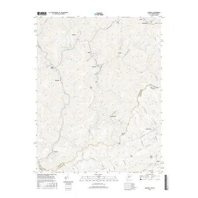 2016 Anawalt2016 Print · USGSCovers Pageton, including Boissevain, Anawalt, and other nearby areas
 - 2019 Map of Anawalt, 2019 Print
 2019 Anawalt2019 Print · USGSCovers Pageton, including Boissevain, Anawalt, and other nearby areas
 - 2023 Map of Anawalt, 2023 Print
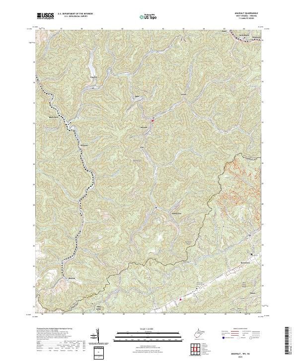 2023 Anawalt2023 Print · USGSWest Virginia's coal country and the Virginia borderlands are revealed in this modern survey of the Tug Fork headwaters. Researchers can trace the legacy of mining settlements and family burial grounds like Jenkinjones, Anawalt, and the Asbury Cem near Boissevain.
End of results
Showing maps 1-6 of 6
Top cities near Pageton
- Bluefield historical maps
- Bluefield historical maps
- Tazewell historical maps
- Welch historical maps
- Mullens historical maps
- Brush Fork historical maps
See more
Frequently asked questions
- What are the different types of historical maps available for Pageton?
- What is the oldest map of Pageton?
- Where can I purchase historical maps of Pageton for my home or office?
- Where can I download high-res historical maps of Pageton?
- Are there historical topographic maps available for Pageton?
- Is there historical aerial imagery available for Pageton?
- Where are historical maps of Pageton sourced from?