Old Maps of Gilbert, West Virginia for Hiking & Exploration
Hike through history with 33 historic maps of Gilbert. Explore old trails, ghost towns, and forgotten backroads — perfect for outdoor adventurers and local explorers.
- Rediscover forgotten places: Map out old mining camps, roads, and footpaths that no longer exist on modern maps.
- Layer with modern tools: Combine with LiDAR or satellite views to plan hikes through historical terrain.
- Made for exploration: Popular among hikers, overlanders, and local history lovers.
Use these maps to find adventure and explore the hidden past of Gilbert.
Gilbert, WV maps
(33)- 1891 Map of Oceana
 1891 Oceana1891 Print · USGSSouthern West Virginia in the late nineteenth century was a world of deep valleys and isolated mountain settlements. Genealogists and historians can trace early family sites along the Guyandotte River near Oceana, Logan C.H., and Whites Mills.
 - 1893 Map of Oceana
 1893 Oceana1893 Print · USGSSouthern West Virginia’s rugged coal country is captured here in the late nineteenth century, showing a landscape of deep hollows and high ridges. Researchers can trace ancestral homes and early industry at Logan C.H., Whites Mills, and Jarrold's Valley.
 - 1898 Map of Oceana
 1898 Oceana1898 Print · USGSSouthern West Virginia in the late nineteenth century remains a landscape of isolated mountain settlements and complex river drainages. Genealogists can trace early homesteads and family-named landmarks near Oceana, Pineville, and Baileysville before the rise of the modern coal industry.4 unique versions available
 - 1909 Map of Gilbert
 1909 Gilbert1909 Print · USGSSouthern West Virginia at the height of the coal and rail expansion is shown here through its dense network of river-valley settlements and mountain gaps. Genealogists can trace early homesteads and rail stops like Glenalum Sta, Wharncliffe, and Twisted Gun Gap.
 - 1912 Map of Gilbert
 1912 Gilbert1912 Print · USGSThe Guyandot River valley and the industrial Tug Fork corridor define this region in the early nineteen-hundreds. Researchers can trace rail-tied settlements like Wharncliffe and War Eagle or find rural landmarks such as Twisted Gun Gap and North Spring.2 unique versions available
 - 1925 Map of Gilbert
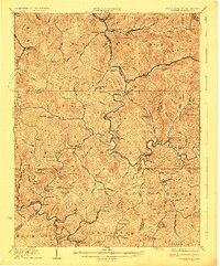 1925 Gilbert1925 Print · USGSSouthern West Virginia in the mid-twenties shows a landscape defined by steep hollows and a burgeoning coal-and-rail economy. Researchers can trace ancestral footprints at several family-named institutions like Hatfield School or find old mining hubs such as Wharncliffe and Glenalum.
 - 1927 Map of Gilbert
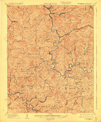 1927 Gilbert1927 Print · USGSIn the late 1920s, southern West Virginia's mountain hollows were connected by narrow-gauge rails and family-centered school districts. Genealogists can trace family footprints through sites like the Craig Hatfield School, Wharncliffe, and War Eagle.4 unique versions available
 - 1954 Map of Wharncliffe, 1955 Print
 1954 Wharncliffe1955 Print · USGSThe Tug Fork borderlands in the mid-1950s reveal a landscape of deep hollows and shifting state lines between West Virginia and Kentucky. Trace family roots at the Cline Cem or explore the drainage of Staggerweed Hol and Foundry Hol.
 - 1955 Map of Bluefield
 1955 Bluefield1955 Print · USGSThe Central Appalachian borderlands come alive in the mid-fifties, showing the coal and rail networks connecting Bluefield to Beckley. Researchers can trace the industrial landscape of the New River Ordnance Plant and the terrain of Burkes Garden.
 - 1957 Map of Bluefield, 1967 Print
 1957 Bluefield1967 Print · USGSThe heart of Central Appalachia in the mid-fifties is defined by the winding rail lines and river valleys of the coalfields. Researchers can trace the industrial footprints of towns like Welch and Princeton or locate landmarks such as the Bluestone Reservoir and Claytor Lake.2 unique versions available
 - 1961 Map of Bluefield
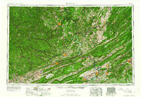 1961 Bluefield1961 Print · USGSThe coalfields and mountain ridges of southern West Virginia and southwest Virginia are captured in the early sixties. Genealogists can trace family ties through rail-linked towns like Princeton and Richlands or along the shores of Bluestone Reservoir.
 - 1963 Map of Gilbert, 1964 Print
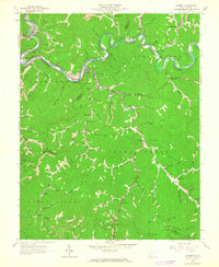 1963 Gilbert1964 Print · USGSMingo and Wyoming Counties are captured here in the early 1960s, showing the coal-and-rail economy along the winding Guyandotte River. Genealogists can trace family names and local landmarks from Sprattsville and Ikes Fork to the Stafford Ch and Longpole Sch.3 unique versions available
 - 1963 Map of Mallory, 1965 Print
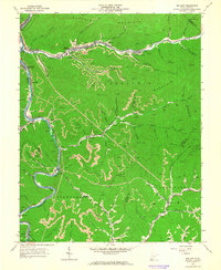 1963 Mallory1965 Print · USGSLogan and Wyoming counties come alive in this mid-century survey of the West Virginia coalfields and the winding Guyandotte River. Genealogists and historians can trace the foundations of local life through labels for the Drive-in Theater, Slabtown, and McDonald Cem.2 unique versions available
 - 1963 Map of Wharncliffe, 1966 Print
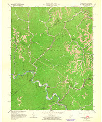 1963 Wharncliffe1966 Print · USGSThe coal country of the West Virginia and Kentucky borderlands comes alive in the early sixties as the railroad navigates the winding Tug Fork. Genealogists can trace family names at Cline Sch, Wharncliffe Ch, and the many hollows near Isaban.3 unique versions available
 - 1982 Map of Beckley, 1984 Print
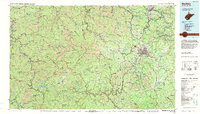 1982 Beckley1984 Print · USGSSouthern West Virginia coal country is captured here in the early eighties as industrial heritage met new wilderness protections. Genealogists and historians can trace the rail-linked communities of Beckley, Oak Hill, and the coal camps near Macdonald.
 - 1996 Map of Mallory, 2003 Print
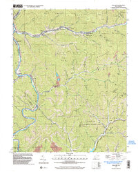 1996 Mallory2003 Print · USGSLogan County coal and gas country is captured here in the mid-1990s as the river valleys hummed with industrial activity. Genealogists and local historians can trace family sites like McDonald Cem, Emmanuel Ch, and the old post office at Greenville.
 - 1996 Map of Gilbert, 2003 Print
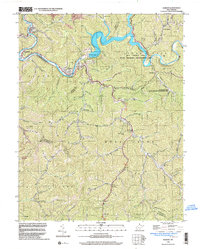 1996 Gilbert2003 Print · USGSMingo and Wyoming counties appear in the mid-1990s as a landscape of deep river valleys and active resource extraction. Genealogists and historians can trace family settlements from Gilbert to Ikes Fork, alongside numerous mines and cemeteries near the Guyandotte River.
 - 2001 Map of Wharncliffe, 2003 Print
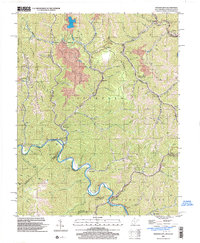 2001 Wharncliffe2003 Print · USGSThe coal country of Mingo County is captured at the turn of the millennium, showing a landscape defined by industrial mines and river-bottom settlements. Genealogists can trace family locations near Wharncliffe, War Eagle, and the Hardy Union Ch.
 - 2011 Map of Mallory, 2011 Print
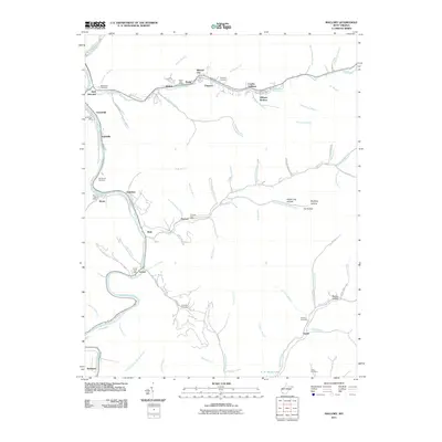 2011 Mallory2011 Print · USGSCoal towns and mountain hollows define this Logan County landscape at the start of the 2010s, where settlements follow the winding banks of the Guyandotte River. Genealogists can trace family landmarks like McDonald Cemetery or locate historic service hubs like the Davin Post Office and Emmett Post Office.
 - 2011 Map of Wharncliffe, 2011 Print
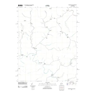 2011 Wharncliffe2011 Print · USGSMingo and Wyoming counties are mapped here in the early twenty-first century as the winding Tug Fork flows past mountain hamlets. Genealogists can trace family names at the Toler Cemetery or locate old community hubs like War Eagle and Wyoming City.
 - 2011 Map of Gilbert, 2011 Print
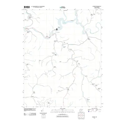 2011 Gilbert2011 Print · USGSMingo County mountain life is centered on the Guyandotte River and the expansive R. D. Bailey Lake in this recent era. Genealogists can trace family names at Lester Cemeteries or locate old community hubs like North Spring and Steeles.
 - 2014 Map of Gilbert, 2014 Print
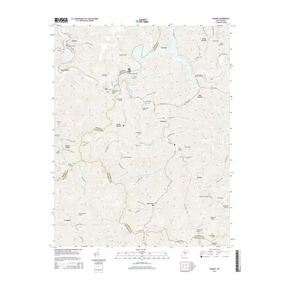 2014 Gilbert2014 Print · USGSMingo and Wyoming counties appear in this detailed study of the West Virginia coalfields as the area adapted to the Guyandotte River's major impoundment. Local historians can trace family lineages through the Ritchie and Cline Cemetery or locate old community centers like North Spring, Hanover, and Gilbert Creek.
 - 2014 Map of Wharncliffe, 2014 Print
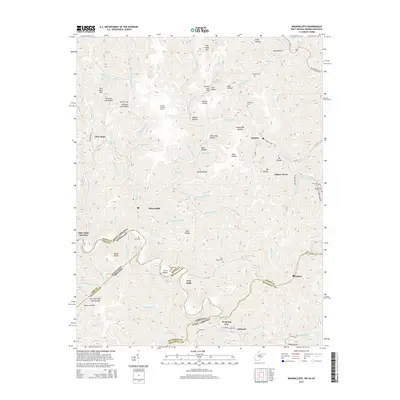 2014 Wharncliffe2014 Print · USGSThe tri-state border region of West Virginia, Kentucky, and Virginia comes alive in this survey of the coal-country highlands. Researchers can locate remote family burial grounds like Mounts Cem and follow the rails through settlements like Wharncliffe and War Eagle.
 - 2014 Map of Mallory, 2014 Print
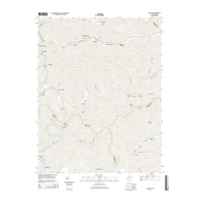 2014 Mallory2014 Print · USGSThe Guyandotte River valley is shown in modern detail, capturing the close-knit communities of Logan and Wyoming Counties. Genealogists can trace family landmarks across the terrain, from Slabtown to the Browning Cem and Elk Trace Cem.
 - 2016 Map of Wharncliffe, 2016 Print
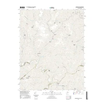 2016 Wharncliffe2016 Print · USGSThe borderlands of Mingo County and McDowell County are charted here in the mid-2010s, showing the deep-valley settlements of the coalfields. Researchers can trace family history through local landmarks like Wharncliffe, War Eagle, and the Trent Cem.
Showing maps 1-25 of 33
Top cities near Gilbert
- Mallory historical maps
- Oceana historical maps
- Holden historical maps
- Man historical maps
- Accoville historical maps
- Switzer historical maps
See more
Frequently asked questions
- What are the different types of historical maps available for Gilbert?
- What is the oldest map of Gilbert?
- Where can I purchase historical maps of Gilbert for my home or office?
- Where can I download high-res historical maps of Gilbert?
- Are there historical topographic maps available for Gilbert?
- Is there historical aerial imagery available for Gilbert?
- Where are historical maps of Gilbert sourced from?