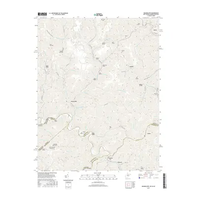
2016 Map of Wharncliffe
USGS Topo · Published 2016About this map
Gilbert and Wharncliffe anchor this detailed study of the Appalachian coal country where West Virginia, Virginia, and Kentucky converge. The landscape is defined by its complex drainage network, where Gilbert Cr and Ben Cr have carved deep into the terrain, creating named hollows like Walnut Hollow and Chestnut Log Hollow. Small settlements and family enclaves are scattered throughout these narrow valleys, many tied to the regions resource economy, including Glen Alum, War Eagle, and Mohawk.
Find a feature on this map
110 named features on this map. Tap any name to fly to it.
Don’t see what you’re looking for? This feature index may not catch every label — zoom into the map to look around manually.
Map Details
Editions of this 2016 Wharncliffe Map
This is the sole edition of this map. No revisions or reprints were ever made.
Other maps of this area

1886 · Grundy
USGS Topo · 1:125,000

1887 · Warfield
USGS Topo · 1:125,000

1890 · Grundy
USGS Topo · 1:125,000

1891 · Tazewell
USGS Topo · 1:125,000

1891 · Oceana
USGS Topo · 1:125,000

1891 · Warfield
USGS Topo · 1:125,000

1892 · Grundy
USGS Topo · 1:125,000

1893 · Oceana
USGS Topo · 1:125,000

1895 · Tazewell
USGS Topo · 1:125,000

1897 · Tazewell
USGS Topo · 1:125,000