Old Maps of Mingo County, West Virginia for Hiking & Exploration
Hike through history with 153 historic maps of Mingo County. Explore old trails, ghost towns, and forgotten backroads — perfect for outdoor adventurers and local explorers.
- Rediscover forgotten places: Map out old mining camps, roads, and footpaths that no longer exist on modern maps.
- Layer with modern tools: Combine with LiDAR or satellite views to plan hikes through historical terrain.
- Made for exploration: Popular among hikers, overlanders, and local history lovers.
Use these maps to find adventure and explore the hidden past of Mingo County.
Mingo County, WV maps
(153)- 1887 Map of Warfield
 1887 Warfield1887 Print · USGSThe West Virginia and Kentucky borderlands come into focus in the late nineteenth century along the winding Tug Fork of Big Sandy River. Genealogists and historians can trace early valley life through sites like Warfield, Chapmansville, and the remote White Post settlement.
 - 1891 Map of Oceana
 1891 Oceana1891 Print · USGSSouthern West Virginia in the late nineteenth century was a world of deep valleys and isolated mountain settlements. Genealogists and historians can trace early family sites along the Guyandotte River near Oceana, Logan C.H., and Whites Mills.
 - 1891 Map of Warfield
 1891 Warfield1891 Print · USGSThe Tug Fork valley in the 1880s is captured here at the intersection of Kentucky and West Virginia. Researchers can trace the early Appalachian landscape through riverfront settlements like Warfield and White Post, or find family-named hubs such as Hatfield and Mate.7 unique versions available
 - 1893 Map of Oceana
 1893 Oceana1893 Print · USGSSouthern West Virginia’s rugged coal country is captured here in the late nineteenth century, showing a landscape of deep hollows and high ridges. Researchers can trace ancestral homes and early industry at Logan C.H., Whites Mills, and Jarrold's Valley.
 - 1898 Map of Oceana
 1898 Oceana1898 Print · USGSSouthern West Virginia in the late nineteenth century remains a landscape of isolated mountain settlements and complex river drainages. Genealogists can trace early homesteads and family-named landmarks near Oceana, Pineville, and Baileysville before the rise of the modern coal industry.4 unique versions available
 - 1909 Map of Matewan
 1909 Matewan1909 Print · USGSMingo County was a landscape of coal camps and rail sidings during the first decade of the twentieth century. Researchers can trace early family homesites near Thacker Mines, Red Jacket, and the small post offices at Edgarton and Okeeffe.
 - 1909 Map of Gilbert
 1909 Gilbert1909 Print · USGSSouthern West Virginia at the height of the coal and rail expansion is shown here through its dense network of river-valley settlements and mountain gaps. Genealogists can trace early homesteads and rail stops like Glenalum Sta, Wharncliffe, and Twisted Gun Gap.
 - 1910 Map of Holden
 1910 Holden1910 Print · USGSLogan County’s rugged coalfield landscape is captured here in the early 1900s as development followed the winding Guyandot River. Researchers can trace old family-named settlements like Mc Cloud, Whirlwind, and Halcyon tucked into the hollows.
 - 1910 Map of Naugatuck
 1910 Naugatuck1910 Print · USGSMingo and Wayne Counties come into focus in the early twentieth century as the coal and timber industry transformed these hollows. Genealogists and researchers can trace the Norfolk and Western rail line through early settlements like Kermit, Breeden, and Naugatuck.
 - 1912 Map of Naugatuck
 1912 Naugatuck1912 Print · USGSMingo and Wayne County borderlands are shown here in the early twentieth century, as the river-and-rail economy transformed these Appalachian hollows. Genealogists and historians can trace family-named sites along the Tug Fork and Norfolk and Western Ry, including Kermit, Naugatuck, and Breeden.
 - 1912 Map of Gilbert
 1912 Gilbert1912 Print · USGSThe Guyandot River valley and the industrial Tug Fork corridor define this region in the early nineteen-hundreds. Researchers can trace rail-tied settlements like Wharncliffe and War Eagle or find rural landmarks such as Twisted Gun Gap and North Spring.2 unique versions available
 - 1912 Map of Holden
 1912 Holden1912 Print · USGSSouthern West Virginia’s coal and rail landscape comes into focus at the dawn of the twentieth century. Genealogists and local historians can trace family-named hollows and early settlements like Holden, Whirlwind, and Chapmanville along the Guyandot River.
 - 1915 Map of Williamson
 1915 Williamson1915 Print · USGSThe borderlands of the Tug Fork river come alive in this early century survey of the Central Appalachian coal country. Genealogists and local historians can trace the early rail-side growth of Williamson, Chattaroy, and Nolan along the Norfolk and Western Ry.2 unique versions available
 - 1915 Map of Naugatuck
 1915 Naugatuck1915 Print · USGSThe Tug Fork valley in the early twentieth century appears in fine detail here along the Kentucky and West Virginia border. Genealogists and historians can trace early settlements and valley schools including Warfield, Naugatuck, and the Priest School.
 - 1915 Map of Matewan
 1915 Matewan1915 Print · USGSThe industrial coalfields of Mingo County and the Kentucky border are documented here during the height of the early twentieth-century boom. Genealogists and historians can trace rail-side communities and mining operations like Thacker Mines, Red Jacket, and the Blackberry Fork School.
 - 1917 Map of Naugatuck
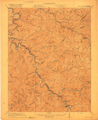 1917 Naugatuck1917 Print · USGSThe Tug Fork borderlands of Mingo and Wayne counties were defined by the rail-and-river economy during the early twentieth century. Genealogists and historians can trace riverside settlements like Kermit and Naugatuck, or search for upland landmarks such as Priest School and the Breeden Breading Post Office.3 unique versions available
 - 1917 Map of Matewan
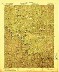 1917 Matewan1917 Print · USGSThe Tug Fork valley in the 1910s was a bustling corridor of coal production and rail activity along the West Virginia and Kentucky border. Genealogists and historians can trace the foundations of coal-camp life at Thacker Mines, the winding Norfolk and Western RR, and local landmarks like the Hatfield School.2 unique versions available
 - 1918 Map of Williamson
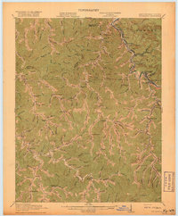 1918 Williamson1918 Print · USGSThe Tug Fork river valley at the Kentucky-West Virginia border comes alive in this survey from the era of the Great War. Researchers can trace the path of the Norfolk and Western RR through Williamson or locate rural schools like Hammon Manor School and the Pinson Fork P O Peg Sta.3 unique versions available
 - 1925 Map of Gilbert
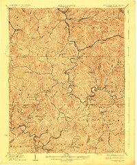 1925 Gilbert1925 Print · USGSSouthern West Virginia in the mid-twenties shows a landscape defined by steep hollows and a burgeoning coal-and-rail economy. Researchers can trace ancestral footprints at several family-named institutions like Hatfield School or find old mining hubs such as Wharncliffe and Glenalum.
 - 1926 Map of Naugatuck, 1957 Print
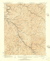 1926 Naugatuck1957 Print · USGSThe Tug Fork valley hums with activity in the 1920s as the rail-and-river economy shapes the West Virginia and Kentucky border. Genealogists and historians can trace numerous rural schools and early settlements like Kermit, Warfield, and the Cassie post office.
 - 1926 Map of Holden, 1957 Print
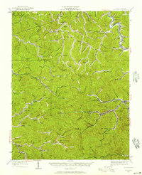 1926 Holden1957 Print · USGSSouthern West Virginia in the mid-1920s shows a landscape of mountain schools and expanding rail networks. Researchers can trace dozens of early rural schools like Dave Dingess School and Hager School alongside rail hubs at Whitman Junction and Holden.
 - 1927 Map of Gilbert
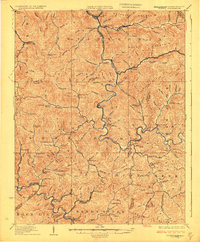 1927 Gilbert1927 Print · USGSIn the late 1920s, southern West Virginia's mountain hollows were connected by narrow-gauge rails and family-centered school districts. Genealogists can trace family footprints through sites like the Craig Hatfield School, Wharncliffe, and War Eagle.4 unique versions available
 - 1928 Map of Holden
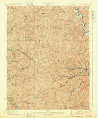 1928 Holden1928 Print · USGSLogan County's coal-country heart is captured here in the late twenties, showing the peak of the mountain rail and mining economy. Researchers can trace the narrow-gauge lines and spurs serving Holden, Verdunville, and Whitman Junction, while locating family landmarks like the Dave Dingess School or Ellis Camp.2 unique versions available
 - 1928 Map of Matewan
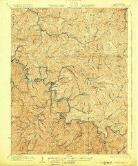 1928 Matewan1928 Print · USGSCoal and rail define the rugged borderlands of the West Virginia-Kentucky line in the late 1920s. Genealogists can trace family footprints at Puritan Mines, Matewan, and the many hollow schools like Hatfield Sch and Red Jacket Sch.4 unique versions available
 - 1928 Map of Naugatuck
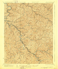 1928 Naugatuck1928 Print · USGSThe Tug Fork valley at the close of the 1920s reveals a landscape defined by the Norfolk and Western RR and riverside coal towns. Genealogists can trace family footprints through remote schoolhouses like The Bend Sch and rural post offices at Cassie Po and Kermit.2 unique versions available
Showing maps 1-25 of 153
Top cities of Mingo County
- Williamson historical maps
- Chattaroy historical maps
- Red Jacket historical maps
- Matewan historical maps
- Delbarton historical maps
- Gilbert historical maps
See more
Frequently asked questions
- What are the different types of historical maps available for Mingo County?
- What is the oldest map of Mingo County?
- Where can I purchase historical maps of Mingo County for my home or office?
- Where can I download high-res historical maps of Mingo County?
- Are there historical topographic maps available for Mingo County?
- Is there historical aerial imagery available for Mingo County?
- Where are historical maps of Mingo County sourced from?