2000s (21st Century) Maps of Calvin, West Virginia
Explore 5 historic maps of Calvin from the 2000s (21st Century). These maps offer a rare glimpse into what life looked like during the 2000s — showing old roads, neighborhoods, homes, and landmarks that have changed or disappeared over time.
Whether you're researching your family's past, planning a metal detecting trip, or studying how Calvin's landscape evolved across the 2000s, these high-resolution maps are a powerful tool for exploring the history of this region.
- Focus on a specific era: All maps on this page are from the 2000s, giving you a focused view of this time period.
- See what’s changed: Compare century-old streets, trails, and buildings to today's modern landscape using overlays and satellite layers.
- Research with precision: Use these maps for genealogy, historical research, land use analysis, or educational projects.
- View, download, or print: Maps are fully viewable online in high resolution, and can be downloaded or printed for your own records.
Start exploring Calvin's history through authentic maps from the 2000s. This is your window into the past.
Calvin, WV maps
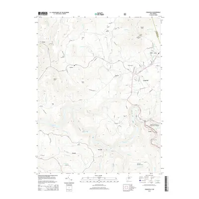
(5)- 2011 Map of Craigsville, 2011 Print
 2011 Craigsville2011 Print · USGSCovers Calvin, including Craigsville, Curtin, and other nearby areas
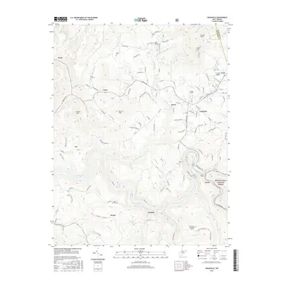
 - 2014 Map of Craigsville, 2014 Print
 2014 Craigsville2014 Print · USGSCovers Calvin, including Craigsville, Curtin, and other nearby areas
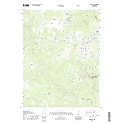
 - 2016 Map of Craigsville, 2016 Print
 2016 Craigsville2016 Print · USGSCovers Calvin, including Craigsville, Curtin, and other nearby areas
 - 2019 Map of Craigsville, 2019 Print
 2019 Craigsville2019 Print · USGSCovers Calvin, including Craigsville, Curtin, and other nearby areas
 - 2023 Map of Craigsville, 2023 Print
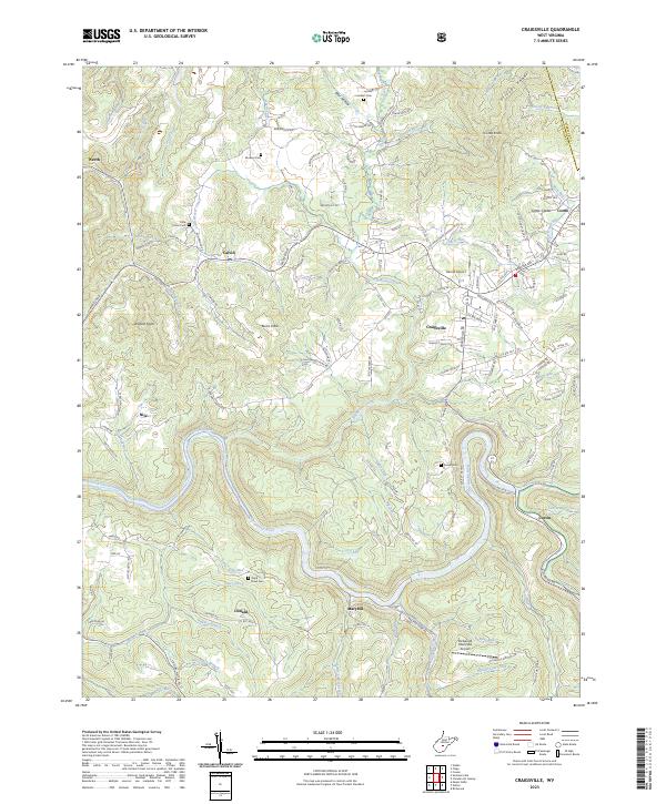 2023 Craigsville2023 Print · USGSThe highland valleys of Nicholas and Webster Counties are documented here in recent years, centered on the confluence of the Gauley River and Cherry River. Researchers can trace rural cemeteries such as Mullens Cem and Russell Cem or the localized growth of Craigsville.
End of results
Showing maps 1-5 of 5
Top cities near Calvin
- Summersville historical maps
- Richwood historical maps
- Craigsville historical maps
- Cowen historical maps
- Persinger Ford historical maps
- Groves Ford historical maps
Frequently asked questions
- What are the different types of historical maps available for Calvin?
- What is the oldest map of Calvin?
- Where can I purchase historical maps of Calvin for my home or office?
- Where can I download high-res historical maps of Calvin?
- Are there historical topographic maps available for Calvin?
- Is there historical aerial imagery available for Calvin?
- Where are historical maps of Calvin sourced from?