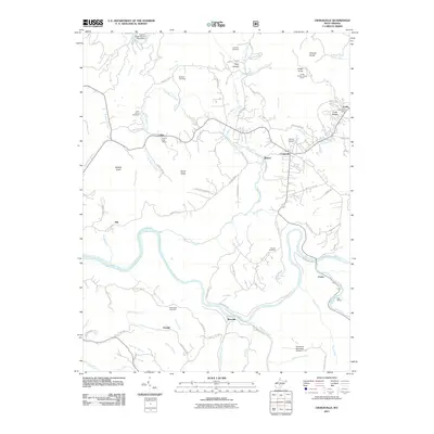
2011 Map of Craigsville
USGS Topo · Published 2011About this map
The Gauley River and Cherry River converge in this Nicholas County landscape, where the confluence creates a sharp bend near the settlement of Curtin. The area exhibits a pattern of development tied to the winding river valleys and ridge-top lookouts, with the Cottle Knob Lookout Tower standing as a sentinel over Strouds Knobs. Local industry and infrastructure are evident in the presence of the Coal Siding along the rail line and the Gauley Eagle Slurry Pond Dam in the north. Genealogists will find a variety of family-named burial grounds throughout the terrain, including Lambert Cemetery, Mullens Cemetery, and Russell Cemetery. Smaller communities like Calvin, Beaver, and Craigsville serve as the primary hubs, with civic life anchored by the Calvin Post Office and Cottle Post Office. Aviation also plays a role in the local geography, featuring both Herold Airport and Richwood Municipal Airport.
Find a feature on this map
91 named features on this map. Tap any name to fly to it.
Don’t see what you’re looking for? This feature index may not catch every label — zoom into the map to look around manually.
Map Details
Editions of this 2011 Craigsville Map
This is the sole edition of this map. No revisions or reprints were ever made.
Other maps of this area

1889 · Nicholas
USGS Topo · 1:125,000

1891 · Nicholas
USGS Topo · 1:125,000

1901 · Nicholas
USGS Topo · 1:125,000

1913 · Summersville
USGS Topo · 1:48,000

1914 · Winona
USGS Topo · 1:48,000

1915 · Cowen
USGS Topo · 1:48,000
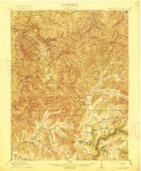
1915 · Summersville
USGS Topo · 1:62,500

1916 · Winona
USGS Topo · 1:62,500

1917 · Cowen
USGS Topo · 1:62,500

1918 · Richwood
USGS Topo · 1:62,500