2000s (21st Century) Maps of Preston County, West Virginia
Explore 38 historic maps of Preston County from the 2000s (21st Century). These maps offer a rare glimpse into what life looked like during the 2000s — showing old roads, neighborhoods, homes, and landmarks that have changed or disappeared over time.
Whether you're researching your family's past, planning a metal detecting trip, or studying how Preston County's landscape evolved across the 2000s, these high-resolution maps are a powerful tool for exploring the history of this region.
- Focus on a specific era: All maps on this page are from the 2000s, giving you a focused view of this time period.
- See what’s changed: Compare century-old streets, trails, and buildings to today's modern landscape using overlays and satellite layers.
- Research with precision: Use these maps for genealogy, historical research, land use analysis, or educational projects.
- View, download, or print: Maps are fully viewable online in high resolution, and can be downloaded or printed for your own records.
Start exploring Preston County's history through authentic maps from the 2000s. This is your window into the past.
Preston County, WV maps
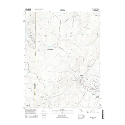
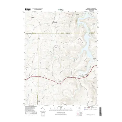
(38)- 2011 Map of Table Rock, 2011 Print
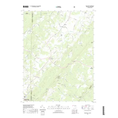
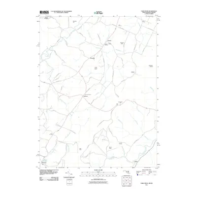 2011 Table Rock2011 Print · USGSCovers Preston County, including Wilson, Silver Lake, and other nearby areas
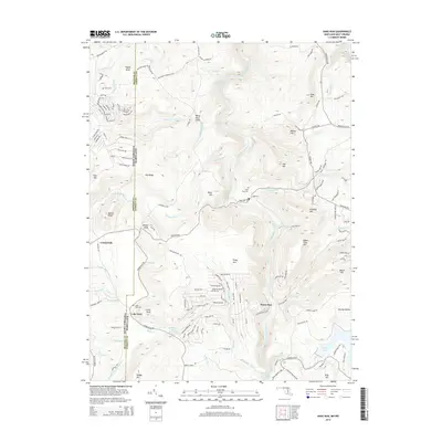
 - 2011 Map of Sang Run, 2011 Print
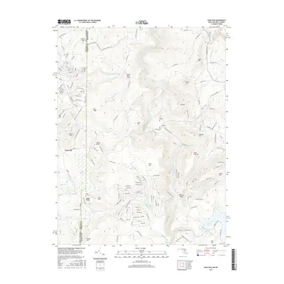
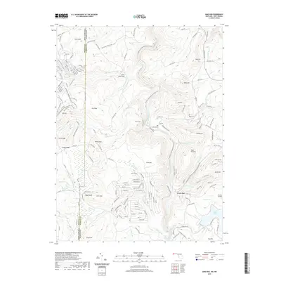
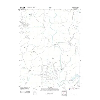 2011 Sang Run2011 Print · USGSCovers Preston County, including Elder Hill, Lake Ford, and other nearby areas
 - 2011 Map of Oakland, 2011 Print
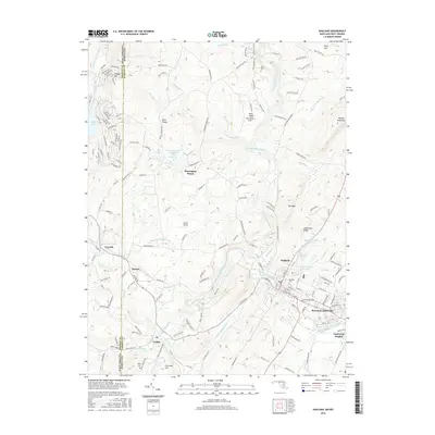
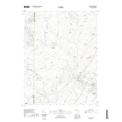
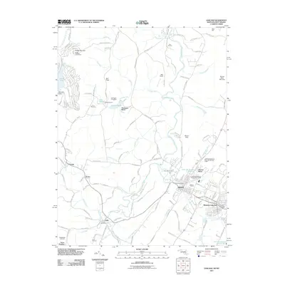 2011 Oakland2011 Print · USGSCovers Preston County, including Mountain Lake Park, Oakland, and other nearby areas
 - 2011 Map of Friendsville, 2011 Print
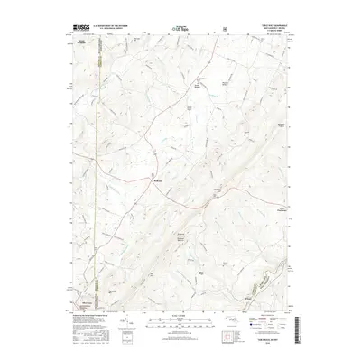
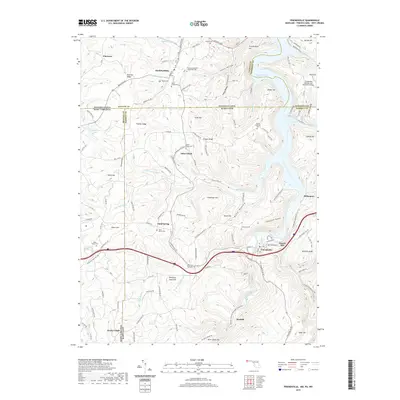
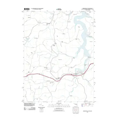 2011 Friendsville2011 Print · USGSCovers Preston County, including Friendsville, Markleysburg, and other nearby areas
 - 2014 Map of Oakland, 2014 Print
 2014 Oakland2014 Print · USGSCovers Preston County, including Mountain Lake Park, Oakland, and other nearby areas
 - 2014 Map of Sang Run, 2014 Print
 2014 Sang Run2014 Print · USGSCovers Preston County, including Elder Hill, Lake Ford, and other nearby areas
 - 2014 Map of Friendsville, 2014 Print
 2014 Friendsville2014 Print · USGSCovers Preston County, including Friendsville, Markleysburg, and other nearby areas
 - 2014 Map of Table Rock, 2014 Print
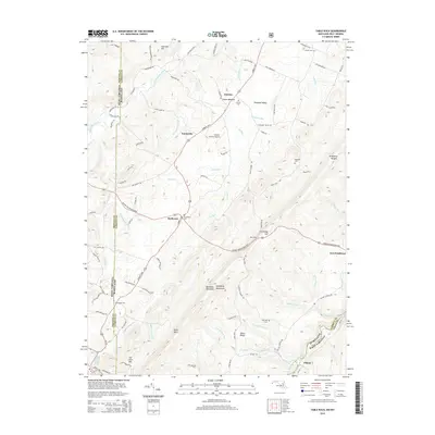 2014 Table Rock2014 Print · USGSCovers Preston County, including Wilson, Silver Lake, and other nearby areas
 - 2016 Map of Friendsville, 2016 Print
 2016 Friendsville2016 Print · USGSCovers Preston County, including Friendsville, Markleysburg, and other nearby areas
 - 2016 Map of Table Rock, 2016 Print
 2016 Table Rock2016 Print · USGSCovers Preston County, including Wilson, Silver Lake, and other nearby areas
 - 2016 Map of Sang Run, 2016 Print
 2016 Sang Run2016 Print · USGSCovers Preston County, including Elder Hill, Lake Ford, and other nearby areas
 - 2016 Map of Oakland, 2016 Print
 2016 Oakland2016 Print · USGSCovers Preston County, including Mountain Lake Park, Oakland, and other nearby areas
 - 2019 Map of Oakland, 2019 Print
 2019 Oakland2019 Print · USGSCovers Preston County, including Mountain Lake Park, Oakland, and other nearby areas
 - 2019 Map of Friendsville, 2019 Print
 2019 Friendsville2019 Print · USGSCovers Preston County, including Friendsville, Markleysburg, and other nearby areas
 - 2019 Map of Table Rock, 2019 Print
 2019 Table Rock2019 Print · USGSCovers Preston County, including Wilson, Silver Lake, and other nearby areas
 - 2019 Map of Sang Run, 2019 Print
 2019 Sang Run2019 Print · USGSCovers Preston County, including Elder Hill, Lake Ford, and other nearby areas
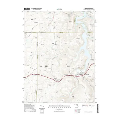
 - 2023 Map of Lake Lynn, 2023 Print
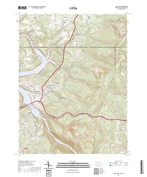 2023 Lake Lynn2023 Print · USGSThe Pennsylvania and West Virginia borderlands come alive on this map, showing the storied landscape surrounding Cheat Lake and the Cheat River. Genealogists and local historians can locate many family-named landmarks and burial sites, including the Baker Family Cem, Ices Ferry, and Gans.
 - 2023 Map of Table Rock, 2023 Print
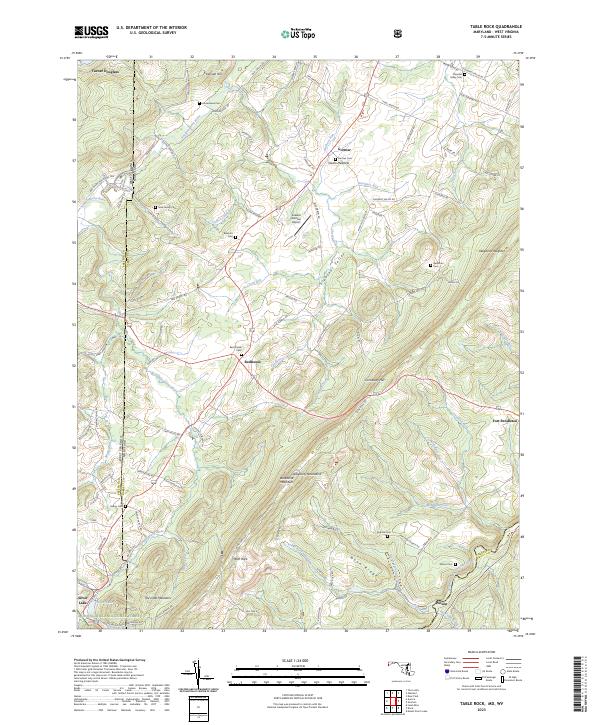 2023 Table Rock2023 Print · USGSThe high Allegheny plateau comes to life in this contemporary survey of the Maryland and West Virginia borderlands. Local historians can trace family plots at Nine Family Cem and Red House Cem or explore the mountain settlements of Redhouse and Gortner.
 - 2023 Map of Oakland, 2023 Print
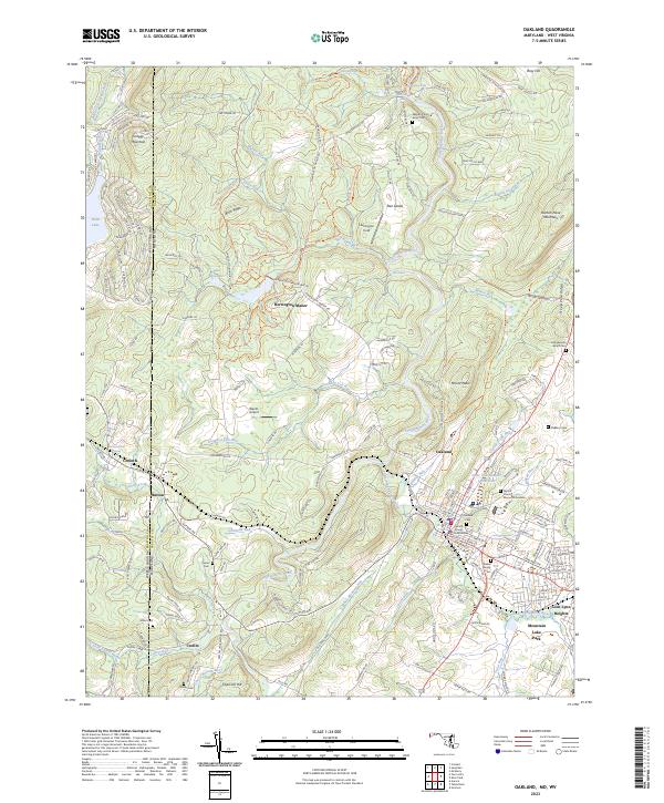 2023 Oakland2023 Print · USGSMaryland's high plateau comes into focus during this recent era as the Youghiogheny River winds past the mountain settlements of Oakland and Crellin. Researchers can trace local genealogy through the Oakland Cem and John Bunyan Brant Cem or locate the historic Corinth Mine.
 - 2023 Map of Friendsville, 2023 Print
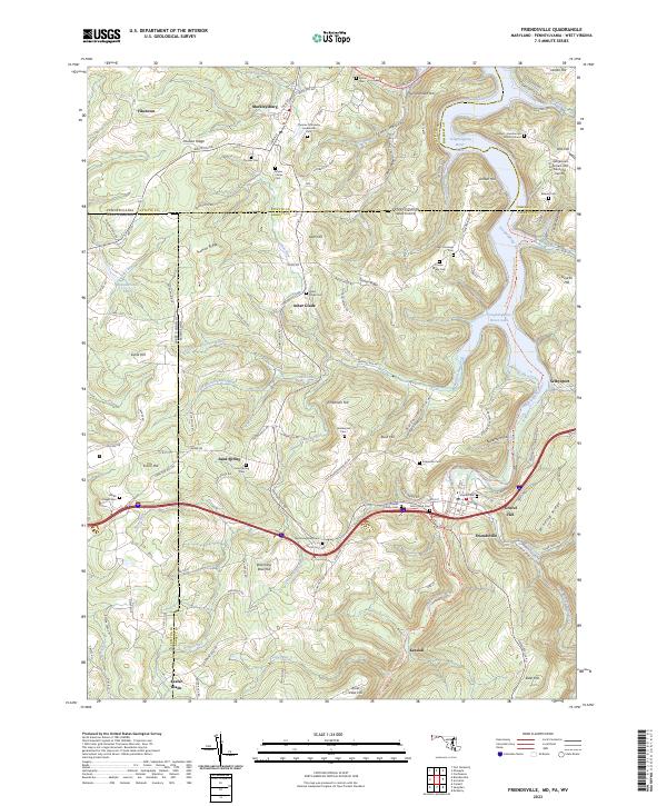 2023 Friendsville2023 Print · USGSThe tri-state border country of Maryland, Pennsylvania, and West Virginia is captured here in the contemporary era. Genealogists can trace deep local roots through numerous family sites like the Friend Family Cem and the Harden - Humberton Burial Ground.
 - 2023 Map of Sang Run, 2023 Print
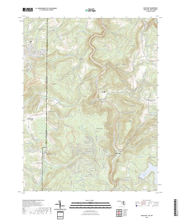 2023 Sang Run2023 Print · USGSThe West Virginia and Maryland border comes alive in this survey of the Youghiogheny River corridor. Researchers can locate the Oak Grove Church of the Brethren and family burial sites at Lake Ford Cem and Upper Sang Run Cem.
 - 2023 Map of Valley Point, 2023 Print
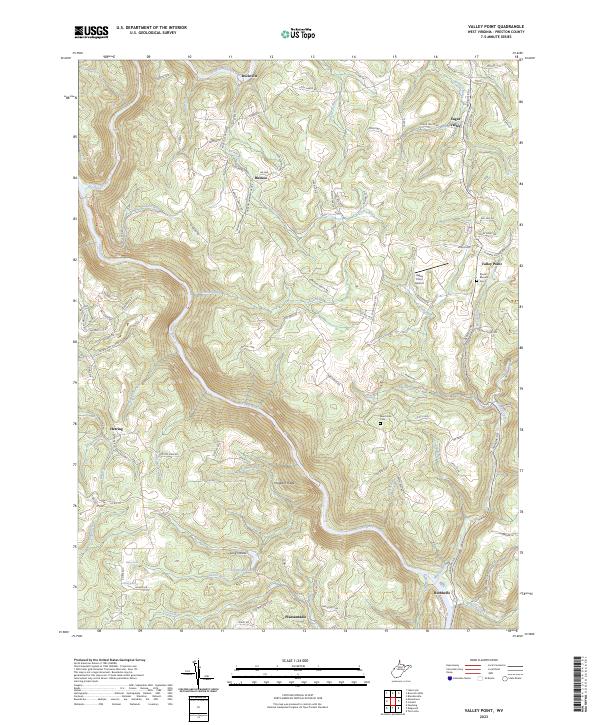 2023 Valley Point2023 Print · USGSPreston County's highland settlements and river breaks are captured in this modern survey of the West Virginia countryside. Researchers can trace family history through local landmarks like Mount Moriah Cem, Sugar Valley, and the rural landing at Rockville.
 - 2023 Map of Aurora, 2023 Print
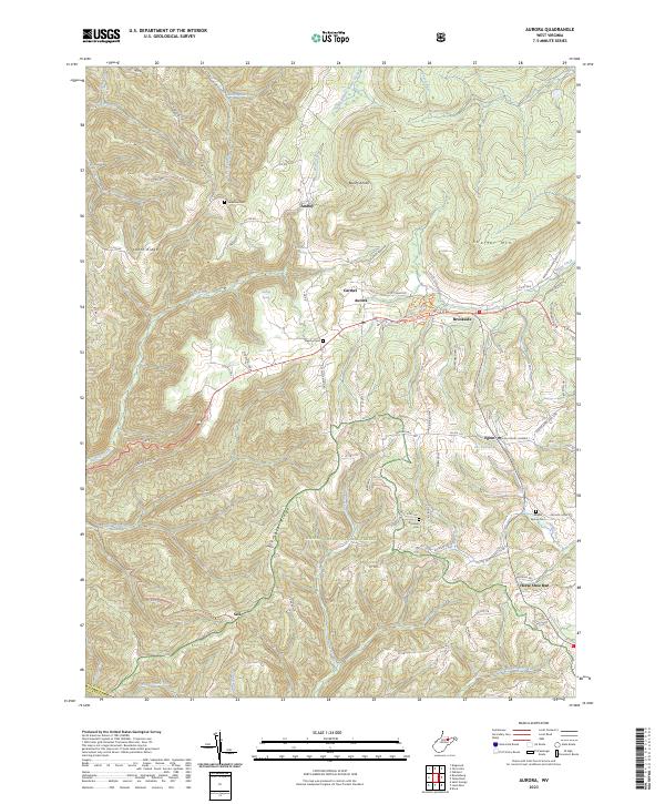 2023 Aurora2023 Print · USGSPreston County's high ridges and small crossroads communities are captured here in the early twenty-first century. Researchers can trace family sites and local landmarks like Grange Hall, Accident Cem, and the Maryland border along Rhine Creek.
 - 2023 Map of Rowlesburg, 2023 Print
 2023 Rowlesburg2023 Print · USGSWest Virginia's Cheat River valley comes alive in this contemporary survey of the rail-centered landscape near the Preston and Tucker county line. Genealogists and hikers can trace the winding river corridor from Rowlesburg to Etam, locating landmarks like Riverview Cem and the Upper Cheat River Water Trl.
 - 2023 Map of Lead Mine, 2023 Print
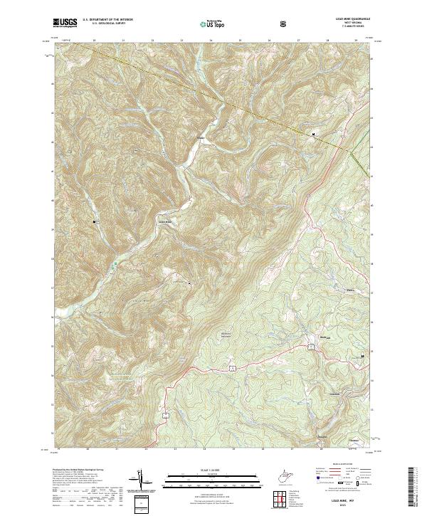 2023 Lead Mine2023 Print · USGSTucker County's high ridges and river valleys are shown in detail here during the 2020s, highlighting the area's transition from an industrial hub to a forest-rimmed landscape. Genealogists and hikers can trace family sites like Knotts Family Cem or follow the Allegheny Tr - Marlin Mtn Tr through Thomas and Lead Mine.
Showing maps 1-25 of 38
Top cities of Preston County
- Kingwood historical maps
- Terra Alta historical maps
- Masontown historical maps
- Rowlesburg historical maps
- Reedsville historical maps
- Newburg historical maps
See more
Frequently asked questions
- What are the different types of historical maps available for Preston County?
- What is the oldest map of Preston County?
- Where can I purchase historical maps of Preston County for my home or office?
- Where can I download high-res historical maps of Preston County?
- Are there historical topographic maps available for Preston County?
- Is there historical aerial imagery available for Preston County?
- Where are historical maps of Preston County sourced from?