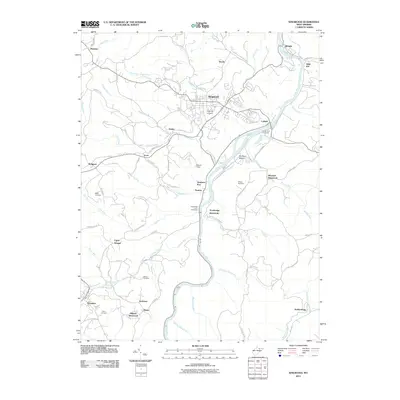
2011 Map of Kingwood
USGS Topo · Published 2011About this map
Kingwood sits as the central hub of this Preston County landscape, where the Cheat River carves a deep path through the terrain. The river's influence is clear, having long served as a corridor for travel and industry, noted by the presence of Trowbridge Ferry and Fairfax Ferry. These river crossings, along with the settlement at Dunkard Bottom, point to the historical importance of the water for regional connectivity.
Find a feature on this map
85 named features on this map. Tap any name to fly to it.
Don’t see what you’re looking for? This feature index may not catch every label — zoom into the map to look around manually.
Map Details
Editions of this 2011 Kingwood Map
This is the sole edition of this map. No revisions or reprints were ever made.
Other maps of this area

1886 · St. George
USGS Topo · 1:125,000

1891 · St. George
USGS Topo · 1:125,000

1902 · Morgantown
USGS Topo · 1:62,500

1904 · Bruceton
USGS Topo · 1:62,500

1907 · Thornton
USGS Topo · 1:62,500

1907 · Kingwood
USGS Topo · 1:62,500

1925 · Kingwood
USGS Topo · 1:62,500

1925 · Morgantown
USGS Topo · 1:62,500

1926 · Thornton
USGS Topo · 1:62,500

1926 · Bruceton
USGS Topo · 1:62,500