2010s Maps of Preston County, West Virginia
Explore 88 historic maps of Preston County from the 2010s. These maps offer a rare glimpse into what life looked like during the 2010s — showing old roads, neighborhoods, homes, and landmarks that have changed or disappeared over time.
Whether you're researching your family's past, planning a metal detecting trip, or studying how Preston County's landscape evolved across the 2010s, these high-resolution maps are a powerful tool for exploring the history of this region.
- Focus on a specific era: All maps on this page are from the 2010s, giving you a focused view of this time period.
- See what’s changed: Compare century-old streets, trails, and buildings to today's modern landscape using overlays and satellite layers.
- Research with precision: Use these maps for genealogy, historical research, land use analysis, or educational projects.
- View, download, or print: Maps are fully viewable online in high resolution, and can be downloaded or printed for your own records.
Start exploring Preston County's history through authentic maps from the 2010s. This is your window into the past.
Preston County, WV maps
(88)- 2011 Map of Kingwood, 2011 Print
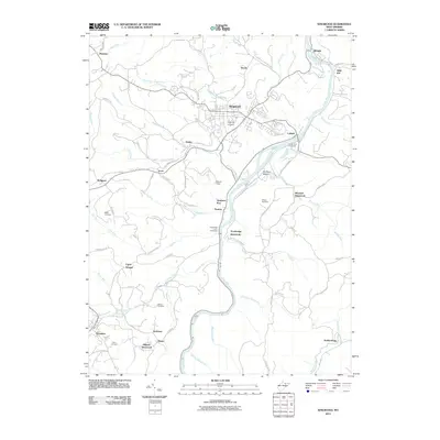 2011 Kingwood2011 Print · USGSPreston County in the early twenty-first century reveals a landscape defined by the winding Cheat River and long-standing rural settlements. Genealogists can trace family footprints through several burial sites like Kingwood Cemetery and Cobun Cemetery, or locate vanished markers like Trowbridge Ferry.
 - 2011 Map of Newburg, 2011 Print
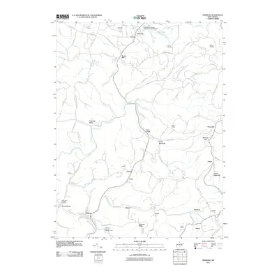 2011 Newburg2011 Print · USGSPreston County's industrial and residential corridors are preserved here in the early twenty-first century, showing the enduring layout of mountain communities. Researchers can trace historic sites like the Kingwood Tunnel, Barlow Mine, and the planned community of Arthurdale.
 - 2011 Map of Terra Alta, 2011 Print
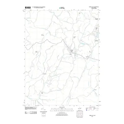 2011 Terra Alta2011 Print · USGSTerra Alta and the high ridges of Preston County are captured here in 2011. Researchers can trace the development of the Alpine Lake area or locate rural points like Salt Lick and the Caddell Mountain Lookout Tower.
 - 2011 Map of Gladesville, 2011 Print
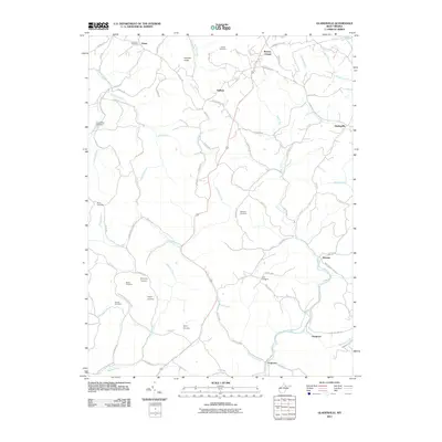 2011 Gladesville2011 Print · USGSPreston County's rural hills and valleys come into focus in this recent survey, showcasing a landscape of high ridges and deep stream basins. Genealogists and local historians can trace family locations through numerous sites like Summers Cemetery, Browns Chapel, and the community of Victoria.
 - 2011 Map of Fellowsville, 2011 Print
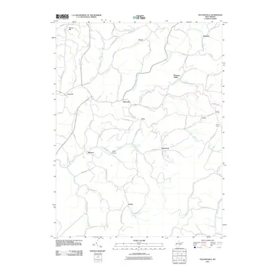 2011 Fellowsville2011 Print · USGSPreston County's winding hollows and ridge-top settlements are captured here in the early twenty-first century. Genealogists can trace family footprints through sites like Blackwood Cemetery or follow historic routes such as the Old Evansville Pike.
 - 2011 Map of Masontown, 2011 Print
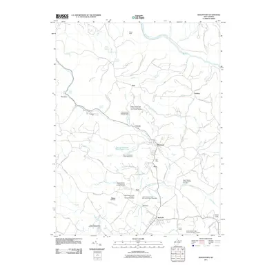 2011 Masontown2011 Print · USGSPreston County's coal and power history is on full display in this 2011 survey of the Masontown and Reedsville corridor. Researchers can pinpoint early industrial sites like Miller Mine, the Bretz Post Office, and the Preston County Light and Power Company Dam.
 - 2011 Map of Morgantown South, 2011 Print
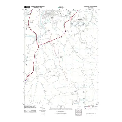 2011 Morgantown South2011 Print · USGSSouthern Monongalia County appears here in the early twenty-first century, showing the established neighborhoods and industrial heritage south of the city. Genealogists and historians can trace family roots at Fairview Cemetery, locate the site of Clinton Furnace, or explore the riverside settlement of Uffington.
 - 2011 Map of Cuzzart, 2011 Print
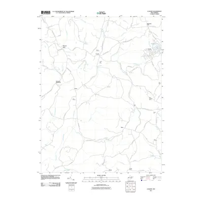 2011 Cuzzart2011 Print · USGSPreston County's highland plateaus are documented here in the early twenty-first century, showing a landscape of scattered rural settlements and mountain runs. Genealogists and local historians can locate the Guseman site, the Cuzzart Post Office, and the Reckart Mill.
 - 2011 Map of Lake Lynn, 2011 Print
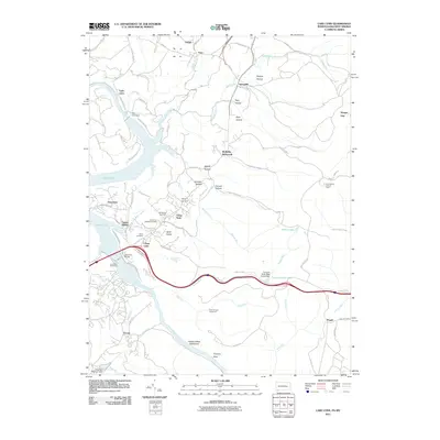 2011 Lake Lynn2011 Print · USGSThe Pennsylvania and West Virginia borderlands are shown here in the early twenty-first century as the landscape preserves vestiges of early industry and river life. Researchers can locate the Clay Furnace, the site of Ices Ferry, and old family plots like Donaldson Cemetery.
 - 2011 Map of Thornton, 2011 Print
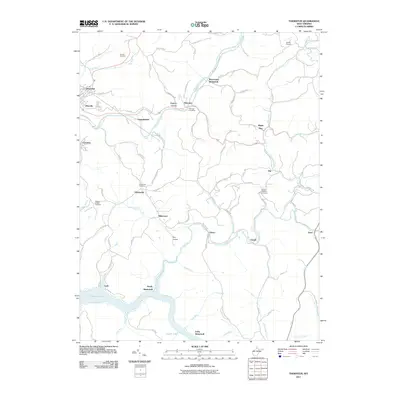 2011 Thornton2011 Print · USGSTaylor County's hills and narrow valleys appear in detail during the early 21st century, centered on the settlement of Thornton. Researchers can trace the legacy of vanished communities at Westerman or locate family plots at Knottsville Cemetery and Current Cemetery.
 - 2011 Map of Bruceton Mills, 2011 Print
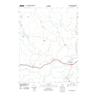 2011 Bruceton Mills2011 Print · USGSThe West Virginia-Pennsylvania borderlands are meticulously detailed here in the early 2010s, centered on the Big Sandy Creek corridor. Local historians can trace the foundations of Bruceton Mills and search for the vanished settlement of Florence.
 - 2011 Map of Valley Point, 2011 Print
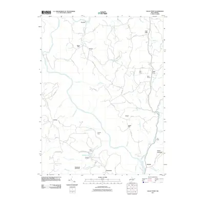 2011 Valley Point2011 Print · USGSPreston County in the early twenty-first century remains a landscape of high ridges and deep river valleys centered on the Cheat River. Genealogists and historians can trace the sites of Old Virginia Furnace and Hayden while locating family landmarks like Mount Moriah Cemetery.
 - 2011 Map of Brandonville, 2011 Print
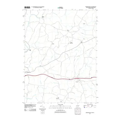 2011 Brandonville2011 Print · USGSThe West Virginia-Pennsylvania borderlands come into focus in this early twenty-first-century survey. Genealogists and local researchers can trace family landmarks and rural hubs like Clifton Mills, Teets Cemetery, and the Hazelton Post Office.
 - 2011 Map of Davis, 2011 Print
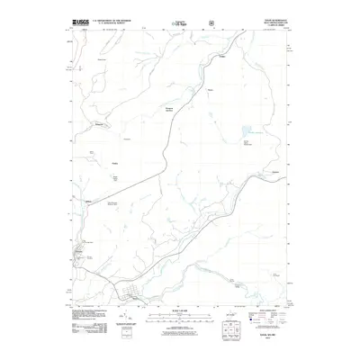 2011 Davis2011 Print · USGSThe West Virginia and Maryland border comes alive in this early 21st-century study of the high Appalachian plateau. Genealogists and historians can trace family roots through Thomas Cemetery or locate old rail-side hamlets like Henry and Kempton Junction.
 - 2011 Map of Aurora, 2011 Print
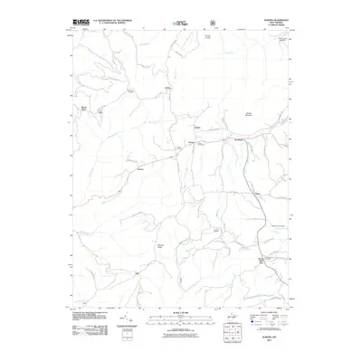 2011 Aurora2011 Print · USGSPreston County's high-country settlements are documented in the early twenty-first century as they were before modern development shifted rural life. Researchers can locate legacy family sites and burial grounds like Accident Cemetery, the Aurora Post Office, and the small community of Eglon.
 - 2011 Map of Lead Mine, 2011 Print
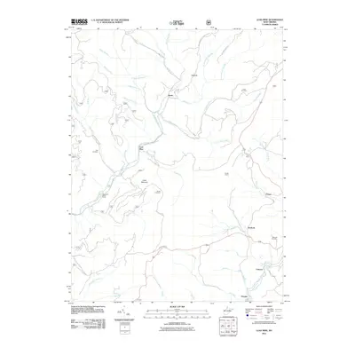 2011 Lead Mine2011 Print · USGSTucker County at the start of the 2010s reveals a landscape shaped by mining history and mountain river runs. Researchers can trace family roots at Knotts Cemetery and Rose Hill Cemetery or locate old industrial sites near Coketon and Douglas.
 - 2011 Map of Rowlesburg, 2011 Print
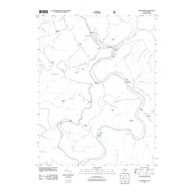 2011 Rowlesburg2011 Print · USGSPreston County's river-and-rail corridor is captured here during the early twenty-first century as it follows the winding Cheat River. Genealogists and local historians can trace family burial sites like Knotts Family Cemetery or landmark crossings such as the Cheat River Covered Bridge.
 - 2011 Map of Colebank, 2011 Print
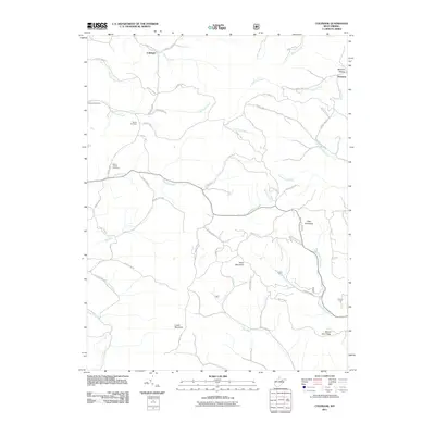 2011 Colebank2011 Print · USGSColebank and the surrounding Preston County highlands are captured here in the early twenty-first century. Genealogists and local historians can locate the Kasson Post Office, Shiloh Cemetery, and family landmarks near Texas Mountain and Sandy Creek.
 - 2011 Map of Table Rock, 2011 Print
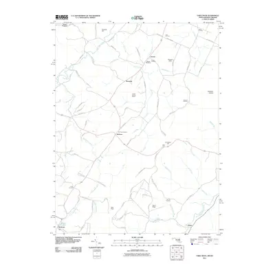 2011 Table Rock2011 Print · USGSThe Maryland and West Virginia borderlands are documented here at the start of the 2010s, showing a high Appalachian landscape of family farms and mountain river forks. Genealogists and local historians can trace legacy sites like Triple Silo Farm, Gortner Cemetery, and the community of Redhouse.
 - 2011 Map of Sang Run, 2011 Print
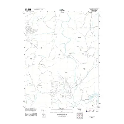 2011 Sang Run2011 Print · USGSGarrett County's high country is documented here in the early twenty-first century, centered on the river valley at Sang Run. Genealogists and local historians can locate several family burial grounds, including Sisler Cemetery, and the engineering of the Deep Creek Hydro-Electric Dam.
 - 2011 Map of Oakland, 2011 Print
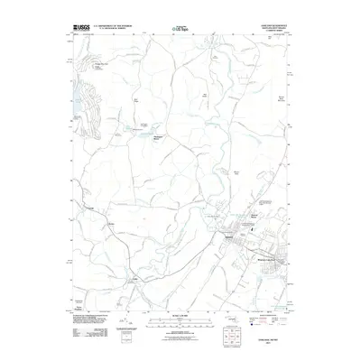 2011 Oakland2011 Print · USGSOakland and the surrounding Garrett County highlands are captured here in the early twenty-first century. Genealogists and local historians can trace family sites at Ashby Cemetery, locate the Crellin Post Office, or study the waters of the Youghiogheny River.
 - 2011 Map of Friendsville, 2011 Print
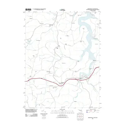 2011 Friendsville2011 Print · USGSMaryland's western highlands near the Pennsylvania and West Virginia borders are captured here just after the first decade of the millennium. Researchers can trace family history through numerous burial sites like Great Crossings Cemetery and local settlements including Friendsville and Asher Glade.
 - 2013 Map of Lake Lynn, 2013 Print
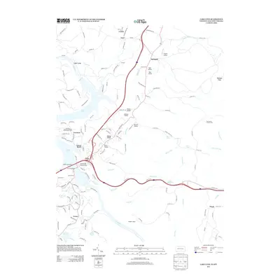 2013 Lake Lynn2013 Print · USGSThe Pennsylvania-West Virginia borderlands are shown here in the early twenty-first century, centered on the recreational and residential growth around Cheat Lake. Researchers can trace local landmarks like the Sand Spring Lookout Tower and the small settlements of Gans and Crystal.
 - 2014 Map of Morgantown South, 2014 Print
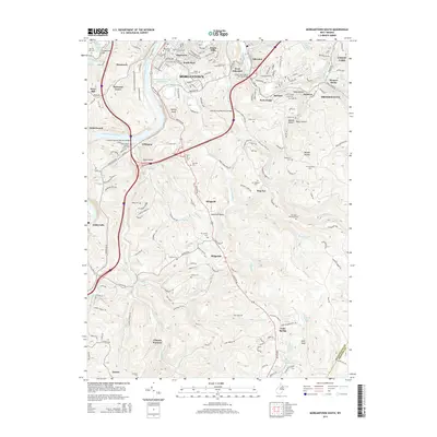 2014 Morgantown South2014 Print · USGSMorgantown and its southern suburbs are captured here during a period of modern expansion and industrial legacy. Researchers can trace historic family burial sites like Mt Calvary Cem or locate industrial landmarks such as the Clinton Furnace and Rock Forge.
 - 2014 Map of Valley Point, 2014 Print
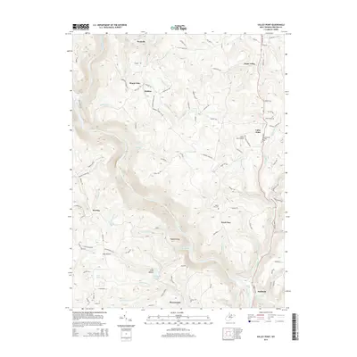 2014 Valley Point2014 Print · USGSPreston County's upland ridges and river valleys are captured here in the early twenty-first century. Researchers can trace family history through local sites like Mt Moriah Cem and explore the rural layout of Valley Point, Rockville, and Pleasantdale.
Showing maps 1-25 of 88
Top cities of Preston County
- Kingwood historical maps
- Terra Alta historical maps
- Masontown historical maps
- Rowlesburg historical maps
- Reedsville historical maps
- Newburg historical maps
See more
Frequently asked questions
- What are the different types of historical maps available for Preston County?
- What is the oldest map of Preston County?
- Where can I purchase historical maps of Preston County for my home or office?
- Where can I download high-res historical maps of Preston County?
- Are there historical topographic maps available for Preston County?
- Is there historical aerial imagery available for Preston County?
- Where are historical maps of Preston County sourced from?