Old Maps of Blue Rock, West Virginia for Metal Detecting
Plan your next treasure hunt with 17 historic maps of Blue Rock. Find old homesites, ghost towns, trails, and gathering spots that may be lost to time — perfect for identifying promising metal detecting locations.
- Locate forgotten sites: Uncover places like long-lost settlements, abandoned rail lines, or gathering spots.
- Plan better hunts: Use map overlays combined with LiDAR or satellite views to narrow in on historically rich areas.
- Made for detectorists: Thousands of hobbyists use these maps to discover relics, coins, and hidden history.
Use these historic maps to boost your research and find new opportunities beneath the surface of Blue Rock.
Blue Rock, WV maps
(17)- 1893 Map of Buckhannon
 1893 Buckhannon1893 Print · USGSCentral West Virginia at the end of the nineteenth century shows a network of upland farms and timber-adjacent rail lines. Genealogists can trace family names through landmarks like Alkire Mill, Buckwheat Church, and settlements like Vandalia (Austin).
 - 1896 Map of Buckhannon, 1902 Print
 1896 Buckhannon1902 Print · USGSUpshur and Randolph counties appear here in the late nineteenth century as a landscape of remote mountain settlements and winding river valleys. Genealogists can trace early homesteads and community hubs like Alkires Mill, Hacker Valley, and French Creek before modern development.3 unique versions available
 - 1897 Map of Buckhannon
 1897 Buckhannon1897 Print · USGSUpshur and Randolph counties appear here in the late nineteenth century as a landscape of isolated ridge-top settlements and river-bottom mills. Genealogists can trace family roots through landmarks like Alkires Mill, Goshen Church, and the oddly named Pumpkin Town.
 - 1913 Map of Pickens
 1913 Pickens1913 Print · USGSRandolph and Webster counties are shown here just before the Great War, during a peak era for mountain logging and rail expansion. Researchers can trace the routes of the Pickens and Hacker Valley RR and find local landmarks like Palace Valley, Lewis School, and Big Laurel Thicket.4 unique versions available
 - 1915 Map of Pickens
 1915 Pickens1915 Print · USGSWest Virginia's highland timber country comes into focus during the early twentieth century as logging railroads began to penetrate the deep hollows. Trace the history of mountain settlements and schools like Helvetia, Pickens, and the Haslebacher School amidst the ridges of Beech Mountain.4 unique versions available
 - 1954 Map of Charleston
 1954 Charleston1954 Print · USGSWest Virginia’s industrial heart and mountain highlands are captured here during the mid-fifties, centered on the capital city. Researchers can trace historic river-and-rail corridors along the Kanawha River and locate remote peaks within the Monongahela National Forest.
 - 1957 Map of Charleston, 1966 Print
 1957 Charleston1966 Print · USGSMid-century West Virginia unfolds along the industrial Kanawha River valley and into the high Allegheny Mountains. Genealogists and historians can trace the vital rail lines of the Chesapeake and Ohio and locate riverside settlements from Saint Albans to Buckhannon.3 unique versions available
 - 1958 Map of Charleston
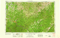 1958 Charleston1958 Print · USGSMid-century West Virginia is defined here by the industrial corridor of the Kanawha River and the high ridges of the Allegheny Mountains. Researchers can trace the rail networks of the New York Central or locate remote highland communities like Pickens and Hillsboro.
 - 1961 Map of Charleston
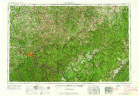 1961 Charleston1961 Print · USGSWest Virginia's capital region and the highlands to the east are shown in detail during the early sixties. Genealogists and historians can trace rail networks like the Baltimore and Ohio RR and find early state parks such as Watoga State Park.
 - 1977 Map of Adolph
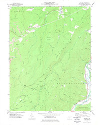 1977 Adolph1977 Print · USGSRandolph County's high ridges and river valleys are captured here during the late seventies, showing the deep woods of the Kumbrabow State Forest. Genealogists and historians can locate old landmarks like Old Fort, Pleasant Chapel, and the settlement of Adolph.
 - 1981 Map of Sutton, 1982 Print
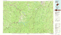 1981 Sutton1982 Print · USGSCentral West Virginia's mountain ridges and river valleys are captured here during the early eighties, as Interstate 79 began to modernize the region. Trace old rail lines like the Western Maryland Railway or explore the terrain around Sutton Lake and Helvetia.
 - 1995 Map of Adolph, 1998 Print
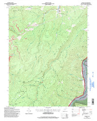 1995 Adolph1998 Print · USGSRandolph County's mountain wilderness is captured here in the mid-1990s, revealing a landscape of dense state and national forests. Genealogists and local historians can trace rural settlements along the river valleys like Adolph and Elkwater, or locate landmarks such as Old Fort and Pleasant Chapel.
 - 2011 Map of Adolph, 2011 Print
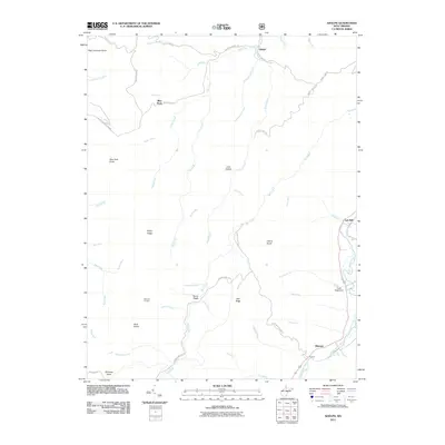 2011 Adolph2011 Print · USGSRandolph County's high ridges and river valleys are documented here during the early twenty-first century, showing the enduring character of mountain life. Genealogists and historians can locate legacy settlements like Adolph, Old Fort, and Spanoak Corners.
 - 2014 Map of Adolph, 2014 Print
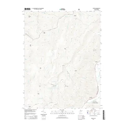 2014 Adolph2014 Print · USGSRandolph County's high ridges and river valleys are captured here in the early twenty-first century as the wilderness meets historic settlements. You can locate the Old Fort near Elkwater, trace family landmarks like Lee Bell, or explore the deep terrain of Rich Mountain.
 - 2016 Map of Adolph, 2016 Print
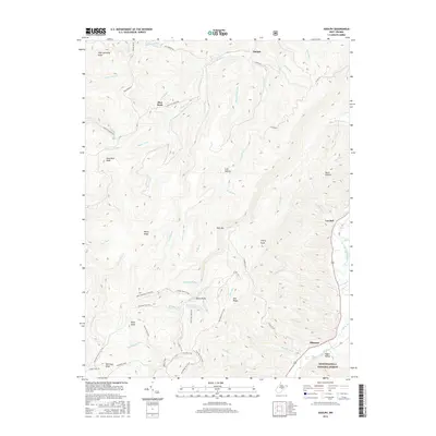 2016 Adolph2016 Print · USGSRandolph County's high ridges and national forest lands are shown here in the mid-2010s. Genealogists and hikers can trace the mountain roads and trails connecting historic communities like Adolph, Blue Rock, and Elkwater along the Tygart Valley River.
 - 2019 Map of Adolph, 2019 Print
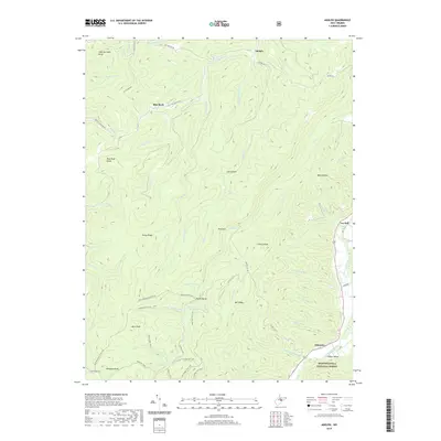 2019 Adolph2019 Print · USGSRandolph County's high ridges and river valleys are captured here in the late twenty-teens. Researchers can trace historic mountain routes like the Rich Mountain Fire Trail and locate small communities such as Adolph, Blue Rock, and Elkwater.
 - 2023 Map of Adolph, 2023 Print
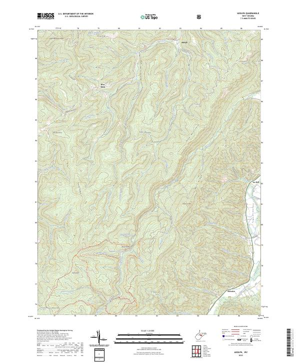 2023 Adolph2023 Print · USGSThe Tygart Valley highlands south of Adolph are shown here at the edge of the national forest. Researchers can trace remote mountain access routes like the Rich Mountain Fire Trl and find local landmarks such as Kumbabow Forest Spring and Raven Rocks.
End of results
Showing maps 1-17 of 17
Top cities near Blue Rock
- Elkins historical maps
- Beverly historical maps
- Mill Creek historical maps
- Valley Bend historical maps
- East Dailey historical maps
- Norton historical maps
See more
Frequently asked questions
- What are the different types of historical maps available for Blue Rock?
- What is the oldest map of Blue Rock?
- Where can I purchase historical maps of Blue Rock for my home or office?
- Where can I download high-res historical maps of Blue Rock?
- Are there historical topographic maps available for Blue Rock?
- Is there historical aerial imagery available for Blue Rock?
- Where are historical maps of Blue Rock sourced from?