Old Maps of Fonzo, West Virginia for Academic Research
Study the evolution of Fonzo with 14 high-resolution historic maps. Whether you're teaching, researching, or modeling changes in land use, these maps provide essential visual documentation of urban, environmental, and geographic change.
- Analyze long-term change: Track patterns in development, transportation, and natural features.
- Ideal for environmental or urban studies: Support academic projects with primary historical map data.
- Use in the classroom or lab: Educators and researchers rely on these maps to bring historical context to life.
These maps are a powerful tool for teaching, research, and visualizing how Fonzo has changed over the decades.
Fonzo, WV maps
(14)- 1907 Map of Harrisville
 1907 Harrisville1907 Print · USGSRitchie County at the start of the twentieth century is centered on the rugged valleys of the North Fork and South Fork Hughes River. Researchers can trace the path of the Baltimore and Ohio RR and locate rural hubs like Silver Run Station and the Ritchie Mine.2 unique versions available
 - 1924 Map of Harrisville, 1957 Print
 1924 Harrisville1957 Print · USGSRitchie County during the mid-1920s reveals a landscape of ridge-top schools and river-valley industry. Genealogists can trace family roots through numerous local landmarks like Silver Run Sta Donohue PO, Ritchie Mines, and Star Settlement.
 - 1926 Map of Harrisville
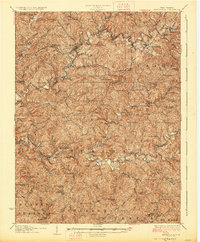 1926 Harrisville1926 Print · USGSRitchie County in the mid-twenties is a landscape of winding river valleys and bustling rail hubs like Cairo and Harrisville. Researchers can trace the heritage of remote hill communities through dozens of local landmarks like the Ritchie Mine, Donohue PO, and Star Settlement.
 - 1949 Map of Clarksburg
 1949 Clarksburg1949 Print · USGSThe upper Ohio River valley and the industrial heart of West Virginia come into focus during this post-war period. Genealogists and researchers can trace the rail corridors of the Baltimore and Ohio and locate centers like Fairmont, Grafton, and Waynesburg.
 - 1956 Map of Clarksburg, 1966 Print
 1956 Clarksburg1966 Print · USGSThe Ohio River valley and the industrial heart of West Virginia are seen here in the mid-1950s as rail and river commerce thrived. Researchers can trace historic transport lines like the Baltimore and Ohio RR and locate ancestral homes in Clarksburg, Moundsville, or Parkersburg.2 unique versions available
 - 1961 Map of Clarksburg
 1961 Clarksburg1961 Print · USGSThe mid-century industrial and river landscapes of West Virginia and Ohio are detailed here, centered on the Ohio River. Researchers can trace the Baltimore and Ohio rail lines connecting towns like Parkersburg, Clarksburg, and Monongah.
 - 1964 Map of Smithville, 1966 Print
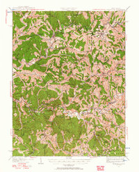
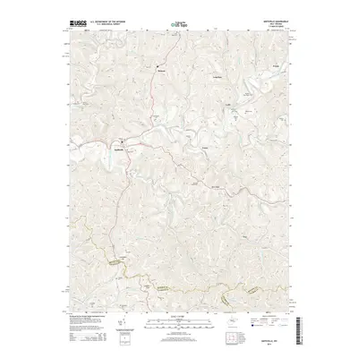
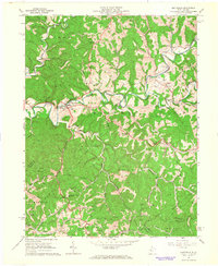 1964 Smithville1966 Print · USGSIn the mid-1960s, the Ritchie County hills were a busy landscape of energy extraction and remote settlements. Genealogists and historians can trace family roots at Westfall Cem or Ayers Cem while locating old sites like Deep Valley School and Bethany Ch.
 - 1981 Map of Parkersburg, 1984 Print
 1981 Parkersburg1984 Print · USGSThe Ohio River valley at the start of the 1980s reveals a landscape shaped by river commerce and the rail networks of the Baltimore and Ohio RR. Genealogists and historians can trace the development of riverfront communities like Parkersburg, Marietta, and Williamstown, alongside rural landmarks like Blennerhassett Island and Elizabeth.
 - 1988 Map of Clarksburg, 1989 Print
 1988 Clarksburg1989 Print · USGSThe central Appalachians are documented in detail during the late eighties, showing the industrial and river-based economies of West Virginia, Ohio, and Pennsylvania. Researchers can trace historic rail routes like the B & O RR and locate river towns from St Marys to Parkersburg.
 - 2010 Map of Smithville, 2010 Print
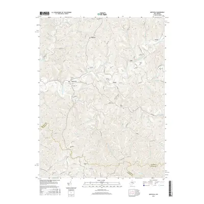
 2010 Smithville2010 Print · USGSCovers Fonzo, including Smithville, Prunty, and other nearby areas
 - 2014 Map of Smithville, 2014 Print
 2014 Smithville2014 Print · USGSCovers Fonzo, including Smithville, Prunty, and other nearby areas
 - 2016 Map of Smithville, 2016 Print
 2016 Smithville2016 Print · USGSCovers Fonzo, including Smithville, Prunty, and other nearby areas
 - 2019 Map of Smithville, 2019 Print
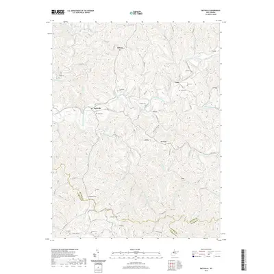 2019 Smithville2019 Print · USGSCovers Fonzo, including Smithville, Prunty, and other nearby areas
 - 2023 Map of Smithville, 2023 Print
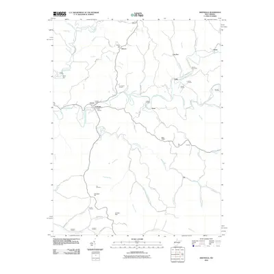
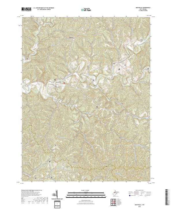 2023 Smithville2023 Print · USGSIn the modern West Virginia highlands, the area around Smithville maintains its character as a land of narrow hollows and ridge-top settlements. Genealogists can trace family lines through numerous upland sites like Hardman Chapel Cem, Cunningham Cem, and Ayers Cem.
End of results
Showing maps 1-14 of 14
Top cities near Fonzo
- Harrisville historical maps
- Glenville historical maps
- Pennsboro historical maps
- Grantsville historical maps
- Ellenboro historical maps
- Cairo historical maps
See more
Frequently asked questions
- What are the different types of historical maps available for Fonzo?
- What is the oldest map of Fonzo?
- Where can I purchase historical maps of Fonzo for my home or office?
- Where can I download high-res historical maps of Fonzo?
- Are there historical topographic maps available for Fonzo?
- Is there historical aerial imagery available for Fonzo?
- Where are historical maps of Fonzo sourced from?