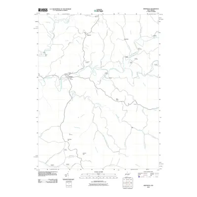
2010 Map of Smithville
USGS Topo · Published 2010About this map
The South Fork Hughes River carves a winding path through this corner of Ritchie County, where the settlement of Smithville serves as a central point for local commerce and community life. The landscape is defined by its deep drainages and ridges, such as Bean Ridge and Lost Ridge, which dictate the placement of early roads and homesteads. Researchers will find a high density of family and community burial grounds, including the Westfall Cemetery, Hatfield Cemetery, and the Betheny Churchyard near Goffs.
Find a feature on this map
81 named features on this map. Tap any name to fly to it.
Don’t see what you’re looking for? This feature index may not catch every label — zoom into the map to look around manually.
Map Details
Editions of this 2010 Smithville Map
This is the sole edition of this map. No revisions or reprints were ever made.
Other maps of this area

1893 · Sutton
USGS Topo · 1:125,000

1906 · Holbrook
USGS Topo · 1:62,500

1906 · Glenville
USGS Topo · 1:62,500

1907 · Harrisville
USGS Topo · 1:62,500

1907 · Arnoldsburg
USGS Topo · 1:62,500

1924 · Harrisville
USGS Topo · 1:62,500

1924 · Holbrook
USGS Topo · 1:62,500

1925 · Glenville
USGS Topo · 1:62,500

1925 · Arnoldsburg
USGS Topo · 1:62,500

1926 · Harrisville
USGS Topo · 1:62,500