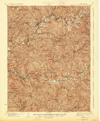
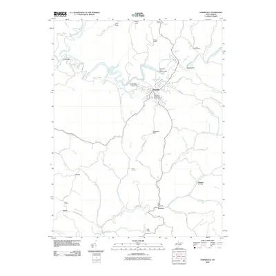
1924 Map of Harrisville
USGS Topo · Published 1957About this map
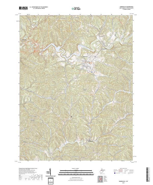
The Harrisville landscape in the mid-1920s is defined by the winding paths of the North and South Forks of the Hughes River. This territory is heavily etched by rural infrastructure, where nearly every hollow and ridge supports a local institution, such as the Big Run School or the Cokeley School. The Baltimore and Ohio RR cuts through the northern terrain, serving established stops like Cairo and the combined station and post office at Silver Run Sta Donohue PO.
Find a feature on this map
125 named features on this map. Tap any name to fly to it.
Don’t see what you’re looking for? This feature index may not catch every label — zoom into the map to look around manually.
Map Details
Editions of this 1924 Harrisville Map
This is the sole edition of this map. No revisions or reprints were ever made.
Historical Maps of Harrisville Through Time
9 maps found
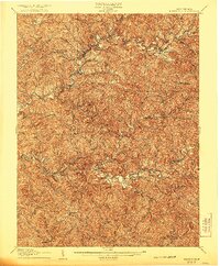
1907 Harrisville
Ritchie County, WV
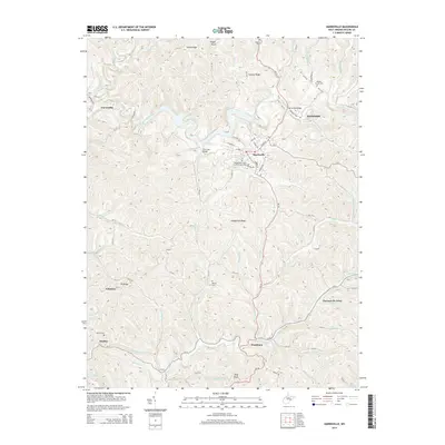
1924 Harrisville
Ritchie County, WV
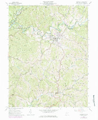
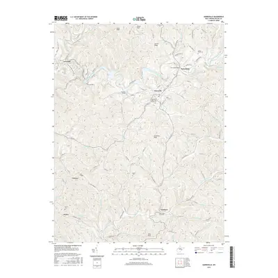
1926 Harrisville
Ritchie County, WV
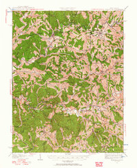
1964 Harrisville
Ritchie County, WV
2010 Harrisville
Ritchie County, WV
2014 Harrisville
Ritchie County, WV
2016 Harrisville
Ritchie County, WV
2019 Harrisville
Ritchie County, WV
2023 Harrisville
Ritchie County, WV