1926 Map of Harrisville
USGS Topo · Published 1926About this map
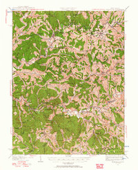
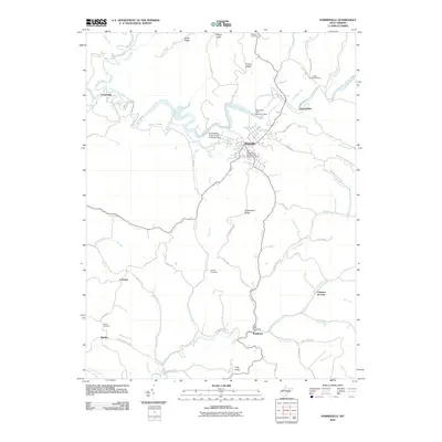
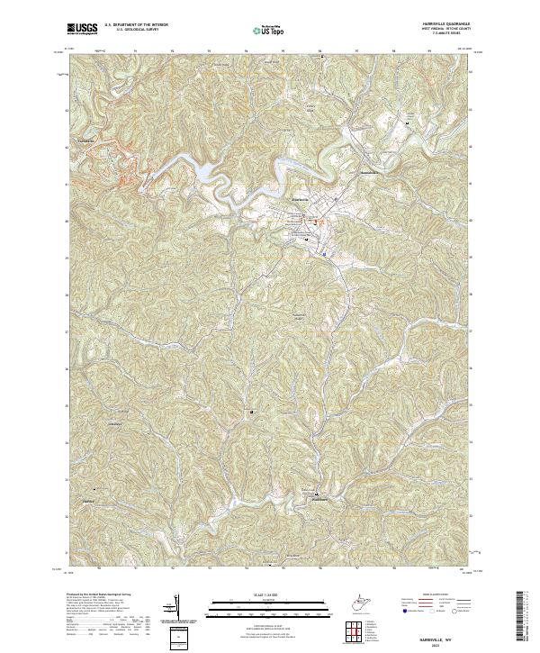
The town of Harrisville serves as the focal point of this 1920s landscape, where the winding tributaries of the Hughes River dictate the settlement patterns of Ritchie County. The era's industrial footprint is clearly visible through the Baltimore and Ohio RR corridor in the north and the Little Kanawha RR following the South Fork Hughes River to the south. This network connected small rural outposts like Cairo and Petroleum to the wider region.
Find a feature on this map
122 named features on this map. Tap any name to fly to it.
Don’t see what you’re looking for? This feature index may not catch every label — zoom into the map to look around manually.
Map Details
Editions of this 1926 Harrisville Map
This is the sole edition of this map. No revisions or reprints were ever made.
Historical Maps of Harrisville Through Time
9 maps found
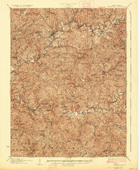
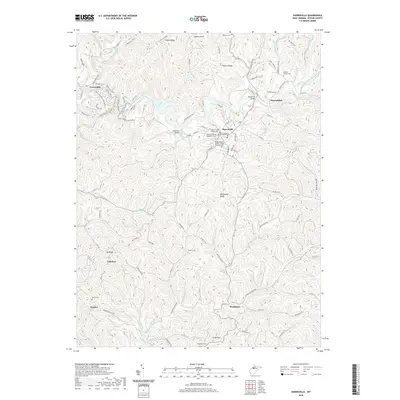
1907 Harrisville
Ritchie County, WV
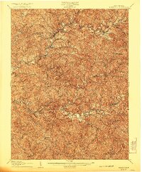
1924 Harrisville
Ritchie County, WV
1926 Harrisville
Ritchie County, WV
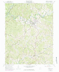
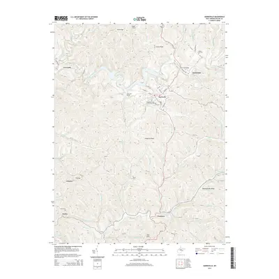
1964 Harrisville
Ritchie County, WV
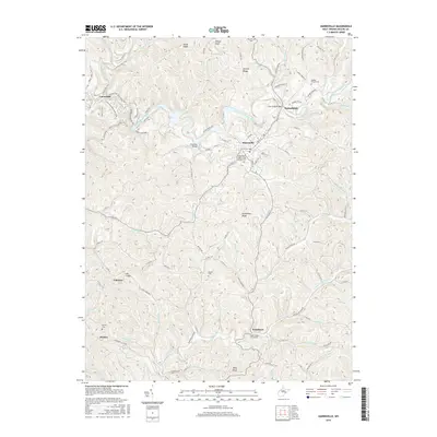
2010 Harrisville
Ritchie County, WV
2014 Harrisville
Ritchie County, WV
2016 Harrisville
Ritchie County, WV
2019 Harrisville
Ritchie County, WV
2023 Harrisville
Ritchie County, WV