Old Maps of Wilsondale, West Virginia
Explore 18 old maps of Wilsondale, spanning from 1887 to today. These high-resolution historic maps reveal how streets, neighborhoods, landmarks, and natural features evolved over time — perfect for genealogy, metal detecting, research, and local history exploration.
What you can do with these maps:
- See how Wilsondale changed over time: Compare historical maps to modern-day views to trace roads, homesites, rail lines & more.
- View detailed metadata: Each map includes creators, publishers, year, scale, and archive source.
- Overlay maps with satellite & LiDAR: Visualize the past alongside modern tools to explore terrain & human change.
- Trusted historical sources: Maps sourced from the USGS, Library of Congress, and other archives.
- Access maps your way: View online, download high-res files, or order prints for personal or research use.
Start exploring old maps of Wilsondale to uncover forgotten places, hidden landmarks, and the deep history beneath your feet.
Wilsondale, WV maps
(18)- 1887 Map of Warfield
 1887 Warfield1887 Print · USGSThe West Virginia and Kentucky borderlands come into focus in the late nineteenth century along the winding Tug Fork of Big Sandy River. Genealogists and historians can trace early valley life through sites like Warfield, Chapmansville, and the remote White Post settlement.
 - 1891 Map of Warfield
 1891 Warfield1891 Print · USGSThe Tug Fork valley in the 1880s is captured here at the intersection of Kentucky and West Virginia. Researchers can trace the early Appalachian landscape through riverfront settlements like Warfield and White Post, or find family-named hubs such as Hatfield and Mate.7 unique versions available
 - 1910 Map of Naugatuck
 1910 Naugatuck1910 Print · USGSMingo and Wayne Counties come into focus in the early twentieth century as the coal and timber industry transformed these hollows. Genealogists and researchers can trace the Norfolk and Western rail line through early settlements like Kermit, Breeden, and Naugatuck.
 - 1912 Map of Naugatuck
 1912 Naugatuck1912 Print · USGSMingo and Wayne County borderlands are shown here in the early twentieth century, as the river-and-rail economy transformed these Appalachian hollows. Genealogists and historians can trace family-named sites along the Tug Fork and Norfolk and Western Ry, including Kermit, Naugatuck, and Breeden.
 - 1915 Map of Naugatuck
 1915 Naugatuck1915 Print · USGSThe Tug Fork valley in the early twentieth century appears in fine detail here along the Kentucky and West Virginia border. Genealogists and historians can trace early settlements and valley schools including Warfield, Naugatuck, and the Priest School.
 - 1917 Map of Naugatuck
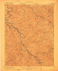 1917 Naugatuck1917 Print · USGSThe Tug Fork borderlands of Mingo and Wayne counties were defined by the rail-and-river economy during the early twentieth century. Genealogists and historians can trace riverside settlements like Kermit and Naugatuck, or search for upland landmarks such as Priest School and the Breeden Breading Post Office.3 unique versions available
 - 1926 Map of Naugatuck, 1957 Print
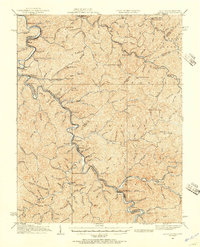 1926 Naugatuck1957 Print · USGSThe Tug Fork valley hums with activity in the 1920s as the rail-and-river economy shapes the West Virginia and Kentucky border. Genealogists and historians can trace numerous rural schools and early settlements like Kermit, Warfield, and the Cassie post office.
 - 1928 Map of Naugatuck
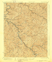 1928 Naugatuck1928 Print · USGSThe Tug Fork valley at the close of the 1920s reveals a landscape defined by the Norfolk and Western RR and riverside coal towns. Genealogists can trace family footprints through remote schoolhouses like The Bend Sch and rural post offices at Cassie Po and Kermit.2 unique versions available
 - 1957 Map of Jenkins, 1974 Print
 1957 Jenkins1974 Print · USGSThe Cumberland Plateau in the mid-twentieth century reveals a complex landscape of winding river valleys and deep-seated industry. Genealogists and historians can trace the development of Hazard, Jenkins, and Pikeville alongside extensive Numerous Oil and Gas Fields and the routes of the Chesapeake & Ohio Railway.
 - 1960 Map of Jenkins
 1960 Jenkins1960 Print · USGSEastern Kentucky and the West Virginia borderlands are captured at a mid-century peak of the coal and rail era. Trace the industrial corridors of the Chesapeake and Ohio RR through mountain hubs like Hazard and Jenkins.
 - 1963 Map of Wilsondale, 1964 Print
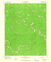 1963 Wilsondale1964 Print · USGSWayne and Mingo Counties are documented here in the early sixties, showing a landscape defined by the timber and energy industries. Genealogists can trace family names through dozens of mountain burial sites like Ferguson Cem and Spaulding Cem.3 unique versions available
 - 1982 Map of Williamson, 1983 Print
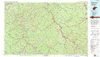 1982 Williamson1983 Print · USGSThe Central Appalachian coalfields of West Virginia and Kentucky come into sharp focus here during the early eighties. Genealogists and researchers can trace the valley rail networks of the Norfolk and Western RR through Matewan, Williamson, and Blackberry City.
 - 1996 Map of Wilsondale, 2003 Print
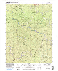 1996 Wilsondale2003 Print · USGSThe West Virginia hill country at the borders of Wayne and Mingo counties is captured here in the late twentieth century. Researchers can locate numerous family-named landmarks and burial sites like Perry Ridge Cem and the Lower Turkey Ch Sch along Twelvepole Creek.
 - 2010 Map of Wilsondale, 2010 Print
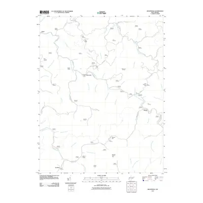 2010 Wilsondale2010 Print · USGSWayne County's winding hollows and family-named ridges are shown here in the early twenty-first century. Genealogists can trace family heritage through dozens of small burial sites like the Spaulding Cemetery and Ferguson Cemetery or locate the old Wilsondale Post Office.
 - 2014 Map of Wilsondale, 2014 Print
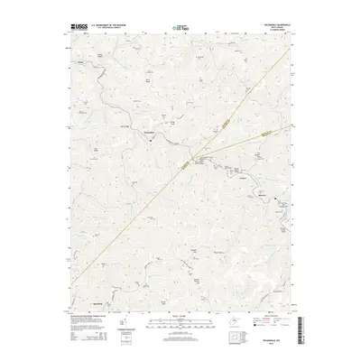 2014 Wilsondale2014 Print · USGSWayne County's steep ridges and railroad hollows are on full display in this study of the borderlands near the Mingo and Lincoln county lines. Genealogists can locate numerous family burial grounds like Stroud Cem and Meade and Messer Cem, while tracing the rail corridor through the Breeden Tunnel.
 - 2016 Map of Wilsondale, 2016 Print
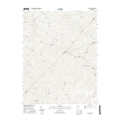 2016 Wilsondale2016 Print · USGSThe West Virginia borderlands of Wayne, Mingo, and Lincoln counties are shown here in 2016, centered on the community of Wilsondale. Genealogists can trace family landmarks and burial sites like Stroud Cem, Meade and Messer Cem, and the Breeden Tunnel.
 - 2019 Map of Wilsondale, 2019 Print
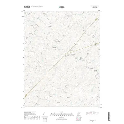 2019 Wilsondale2019 Print · USGSThe interconnected hollows of Wayne and Mingo Counties appear in high detail during this era of modern mapping. Genealogists can locate numerous family burial sites like Meade and Messer Cem and Williamson Cem near the mountain passes of Breeden Gap.
 - 2023 Map of Wilsondale, 2023 Print
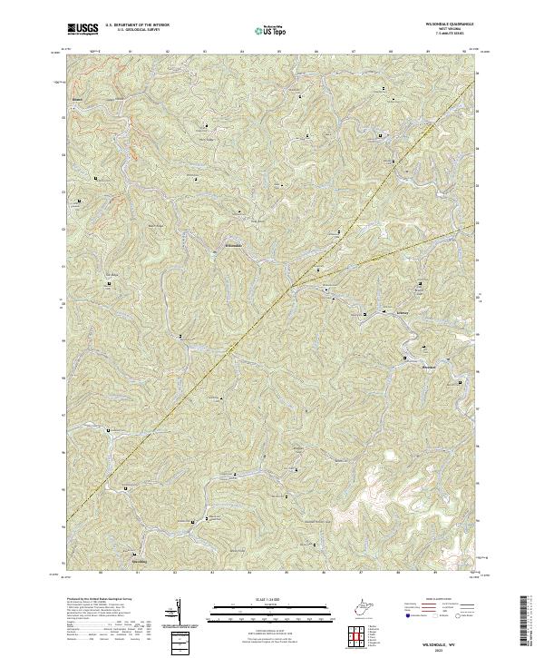 2023 Wilsondale2023 Print · USGSSouthern West Virginia's rugged valleys and family settlements are captured here in the early twenty-first century. Genealogists and local historians can trace lineage across dozens of burial sites like Mount Sinai Church Cem and Maynard Cem, while following the Trace Br railroad and West Fork Twelvepole Creek.
End of results
Showing maps 1-18 of 18
Top cities near Wilsondale
Frequently asked questions
- What are the different types of historical maps available for Wilsondale?
- What is the oldest map of Wilsondale?
- Where can I purchase historical maps of Wilsondale for my home or office?
- Where can I download high-res historical maps of Wilsondale?
- Are there historical topographic maps available for Wilsondale?
- Is there historical aerial imagery available for Wilsondale?
- Where are historical maps of Wilsondale sourced from?