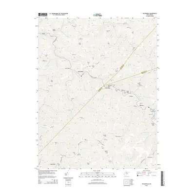
2014 Map of Wilsondale
USGS Topo · Published 2014About this map
The Norfolk Southern railroad carves a diagonal path through the high ridges and hollows of the West Virginia borderlands, connecting small creek-side settlements like Wilsondale and Lowney. The terrain is characterized by a series of prominent gaps and knobs, including Breeden Gap, Swelled Hickory Gap, and Kelly Knob, which dictated the historical movement of goods and people between Wayne, Mingo, and Lincoln counties. Family history is deeply rooted in this landscape, evidenced by the high density of small cemeteries such as Meade and Messer Cem, Baisden Cem, and Mullins Cem that dot the ridges and forks.
Find a feature on this map
117 named features on this map. Tap any name to fly to it.
Don’t see what you’re looking for? This feature index may not catch every label — zoom into the map to look around manually.
Map Details
Editions of this 2014 Wilsondale Map
This is the sole edition of this map. No revisions or reprints were ever made.
Other maps of this area

1887 · Warfield
USGS Topo · 1:125,000

1891 · Warfield
USGS Topo · 1:125,000

1892 · Huntington
USGS Topo · 1:125,000

1898 · Huntington
USGS Topo · 1:125,000

1902 · Midkiff
USGS Topo · 1:62,500

1907 · Midkiff
USGS Topo · 1:62,500

1909 · Wayne
USGS Topo · 1:62,500

1909 · Midkiff
USGS Topo · 1:62,500

1910 · Holden
USGS Topo · 1:48,000

1910 · Naugatuck
USGS Topo · 1:48,000