Old Maps of Belleville, West Virginia for Academic Research
Study the evolution of Belleville with 15 high-resolution historic maps. Whether you're teaching, researching, or modeling changes in land use, these maps provide essential visual documentation of urban, environmental, and geographic change.
- Analyze long-term change: Track patterns in development, transportation, and natural features.
- Ideal for environmental or urban studies: Support academic projects with primary historical map data.
- Use in the classroom or lab: Educators and researchers rely on these maps to bring historical context to life.
These maps are a powerful tool for teaching, research, and visualizing how Belleville has changed over the decades.
Belleville, WV maps
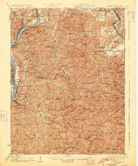
(15)- 1906 Map of Belleville
 1906 Belleville1906 Print · USGSWood County at the turn of the century is defined by its deep river valleys and the expansion of the Baltimore and Ohio RR. Genealogists and historians can trace late-Victorian settlements like Mineral Wells, Belleville, and the riverfront at Walkers Crossing.2 unique versions available
 - 1924 Map of Belleville, 1954 Print
 1924 Belleville1954 Print · USGSWood County’s riverfront settlements and rural school districts are captured here in the mid-twenties during the height of the rail era. Genealogists can locate long-lost family landmarks like Harris Ferry, Meldahl, and dozens of rural schoolhouses including Leafy Glen School.
 - 1926 Map of Belleville
 1926 Belleville1926 Print · USGSThe Ohio River valley and its rugged Wood County hinterlands come into focus in the mid-twenties. Genealogists and historians can locate dozens of rural schools and churches like Leafy Glen School, Torch PO, and Serepta Church along the winding runs.2 unique versions available
 - 1949 Map of Clarksburg
 1949 Clarksburg1949 Print · USGSThe upper Ohio River valley and the industrial heart of West Virginia come into focus during this post-war period. Genealogists and researchers can trace the rail corridors of the Baltimore and Ohio and locate centers like Fairmont, Grafton, and Waynesburg.
 - 1956 Map of Clarksburg, 1966 Print
 1956 Clarksburg1966 Print · USGSThe Ohio River valley and the industrial heart of West Virginia are seen here in the mid-1950s as rail and river commerce thrived. Researchers can trace historic transport lines like the Baltimore and Ohio RR and locate ancestral homes in Clarksburg, Moundsville, or Parkersburg.2 unique versions available
 - 1960 Map of Pond Creek, 1964 Print
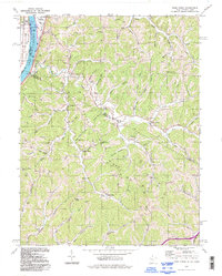
 1960 Pond Creek1964 Print · USGSThe Ohio River valley and the interior ridges of Jackson and Wood counties appear here just as the new decade began. Researchers can trace family history through dozens of rural landmarks, including Liberty School, Temperance Chapel, and the Reedsville Cemetery.3 unique versions available
 - 1961 Map of Clarksburg
 1961 Clarksburg1961 Print · USGSThe mid-century industrial and river landscapes of West Virginia and Ohio are detailed here, centered on the Ohio River. Researchers can trace the Baltimore and Ohio rail lines connecting towns like Parkersburg, Clarksburg, and Monongah.
 - 1981 Map of Parkersburg, 1984 Print
 1981 Parkersburg1984 Print · USGSThe Ohio River valley at the start of the 1980s reveals a landscape shaped by river commerce and the rail networks of the Baltimore and Ohio RR. Genealogists and historians can trace the development of riverfront communities like Parkersburg, Marietta, and Williamstown, alongside rural landmarks like Blennerhassett Island and Elizabeth.
 - 1988 Map of Clarksburg, 1989 Print
 1988 Clarksburg1989 Print · USGSThe central Appalachians are documented in detail during the late eighties, showing the industrial and river-based economies of West Virginia, Ohio, and Pennsylvania. Researchers can trace historic rail routes like the B & O RR and locate river towns from St Marys to Parkersburg.
 - 1994 Map of Pond Creek, 1998 Print
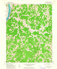
 1994 Pond Creek1998 Print · USGSThe Ohio River borderlands of West Virginia and Ohio come alive in this mid-nineties survey of the Belleville area. Family historians can trace deep roots through dozens of local sites like Poplar School, Temperance Chapel Cem, and Topins Grove.
 - 2010 Map of Pond Creek, 2010 Print
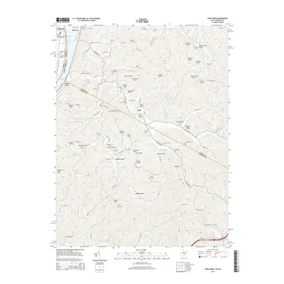
 2010 Pond Creek2010 Print · USGSCovers Belleville, including Jerrys Run, Pond Creek, and other nearby areas
 - 2014 Map of Pond Creek, 2014 Print
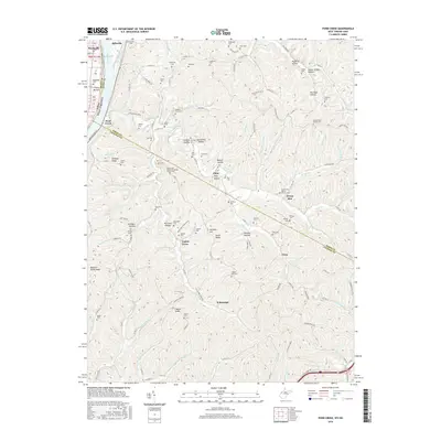
 2014 Pond Creek2014 Print · USGSCovers Belleville, including Jerrys Run, Pond Creek, and other nearby areas
 - 2016 Map of Pond Creek, 2016 Print
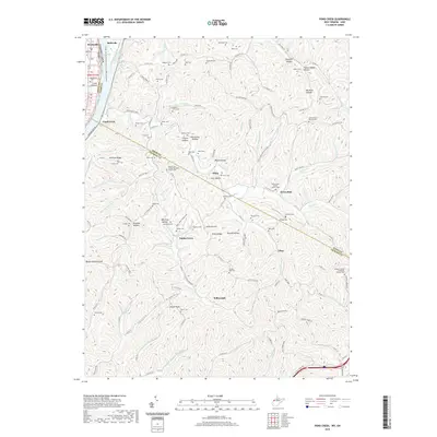
 2016 Pond Creek2016 Print · USGSCovers Belleville, including Jerrys Run, Pond Creek, and other nearby areas
 - 2019 Map of Pond Creek, 2019 Print
 2019 Pond Creek2019 Print · USGSCovers Belleville, including Jerrys Run, Pond Creek, and other nearby areas
 - 2023 Map of Pond Creek, 2023 Print
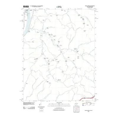
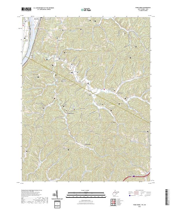 2023 Pond Creek2023 Print · USGSThe Ohio River valley and the interior ridges of West Virginia come alive in this recent survey. Researchers can locate family landmarks such as Shafer Cem and Isabelle Flinn Cem or trace the routes through Flinn and Willowdale.
End of results
Showing maps 1-15 of 15
Top cities near Belleville
- Parkersburg historical maps
- Vienna historical maps
- Belpre historical maps
- Ravenswood historical maps
- Blennerhassett historical maps
- Dunham historical maps
See more
Frequently asked questions
- What are the different types of historical maps available for Belleville?
- What is the oldest map of Belleville?
- Where can I purchase historical maps of Belleville for my home or office?
- Where can I download high-res historical maps of Belleville?
- Are there historical topographic maps available for Belleville?
- Is there historical aerial imagery available for Belleville?
- Where are historical maps of Belleville sourced from?