2020s Maps of Wyoming County, West Virginia
Explore 19 historic maps of Wyoming County from the 2020s. These maps offer a rare glimpse into what life looked like during the 2020s — showing old roads, neighborhoods, homes, and landmarks that have changed or disappeared over time.
Whether you're researching your family's past, planning a metal detecting trip, or studying how Wyoming County's landscape evolved across the 2020s, these high-resolution maps are a powerful tool for exploring the history of this region.
- Focus on a specific era: All maps on this page are from the 2020s, giving you a focused view of this time period.
- See what’s changed: Compare century-old streets, trails, and buildings to today's modern landscape using overlays and satellite layers.
- Research with precision: Use these maps for genealogy, historical research, land use analysis, or educational projects.
- View, download, or print: Maps are fully viewable online in high resolution, and can be downloaded or printed for your own records.
Start exploring Wyoming County's history through authentic maps from the 2020s. This is your window into the past.
Wyoming County, WV maps
(19)- 2023 Map of Odd, 2023 Print
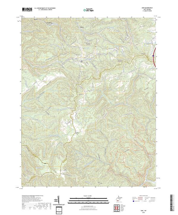 2023 Odd2023 Print · USGSRaleigh County and its neighbors at the turn of the twenty-first century reveal a landscape of mountain ridges and remote hollows. Genealogists and hikers can trace early routes like Old Egeria Rd and locate family-named landmarks like Rich Knob or Willibet.
 - 2023 Map of Pineville, 2023 Print
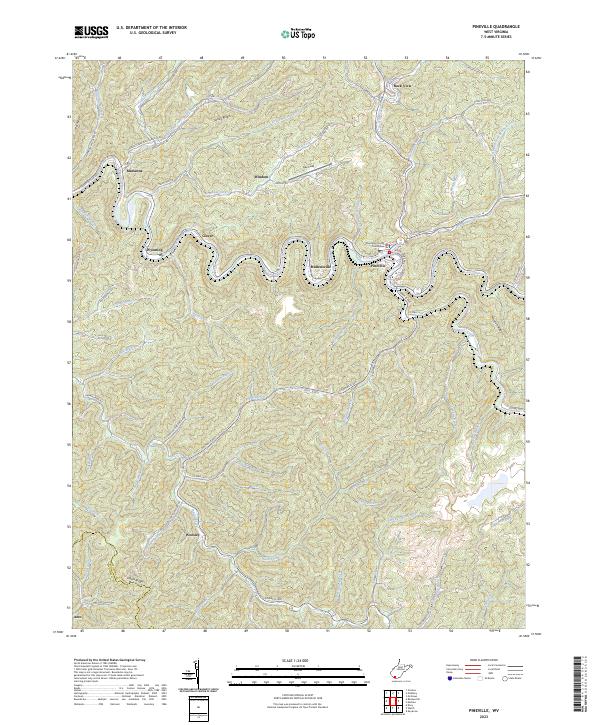 2023 Pineville2023 Print · USGSPineville and the surrounding Wyoming County coalfields appear in this modern survey, showing how the river and ridges define local life. Researchers can trace family history through the Posey England cemetery or locate the Wyoming County Courthouse and settlements like Marianna and Woosley.
 - 2023 Map of Keystone, 2023 Print
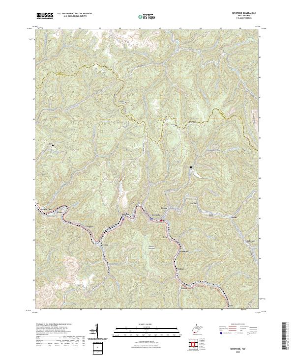 2023 Keystone2023 Print · USGSThe coalfield valleys of southern West Virginia are captured here in the early twenty-first century, showing the dense settlement patterns along Elkhorn Creek. Local historians can trace old community footprints from Keystone to Ennis and find upland landmarks like Mitchem Cem and Shawnee Mountain.
 - 2023 Map of Amherstdale, 2023 Print
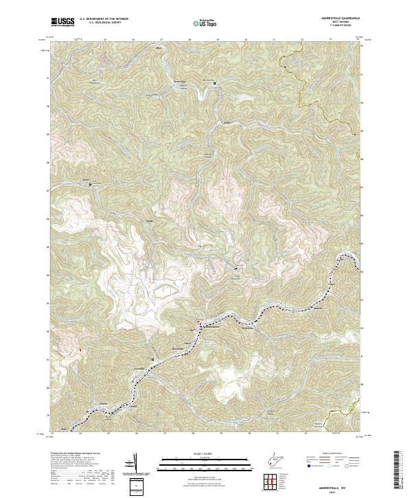 2023 Amherstdale2023 Print · USGSThe West Virginia coalfields of Logan County come into sharp focus in this recent survey. Genealogists can trace ancestral sites at Yolyn Community Cem and Riley Cem, or explore mountain settlements like Amherstdale and Braeholm.
 - 2023 Map of Lester, 2023 Print
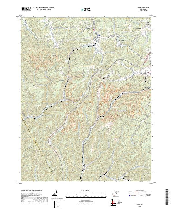 2023 Lester2023 Print · USGSThe coalfield communities of Raleigh County are captured here in the early twenty-first century, showcasing a landscape of winding hollows and high ridges. Researchers can locate family landmarks such as the Cannaday Cem and follow the historic settlement patterns of Stotesbury, Glen White, and Slab Fork.
 - 2023 Map of Gilbert, 2023 Print
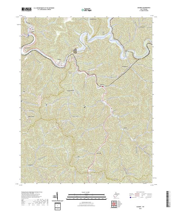 2023 Gilbert2023 Print · USGSIn the steep river valleys of Southern West Virginia, this recent survey documents the landscape along the Guyandotte River and R D Bailey Lake. Genealogists can trace family landmarks like Lester Cemeteries, Davis Cem, and the communities of North Spring and Ikes Fork.
 - 2023 Map of Matheny, 2023 Print
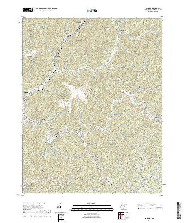 2023 Matheny2023 Print · USGSWyoming County's deep hollows and timbered ridges are shown here in the 2020s, centering on the community of Matheny. Genealogists can locate family sites at Cook Cem, Glen Fork Cem, and Hillcrest Memorial Gardens along the banks of the Clear Fork.
 - 2023 Map of Crumpler, 2023 Print
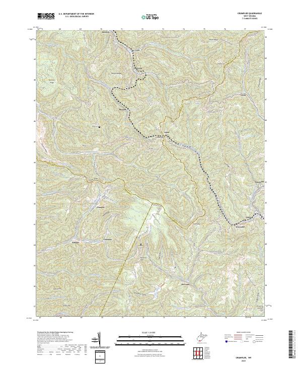 2023 Crumpler2023 Print · USGSThe West Virginia coalfields near the McDowell and Mercer county line are documented here in recent detail. Genealogists and local researchers can trace the roads connecting settlements like Crumpler, Ashland, and McComas, or locate family sites like Bailey Cem.
 - 2023 Map of Pilot Knob, 2023 Print
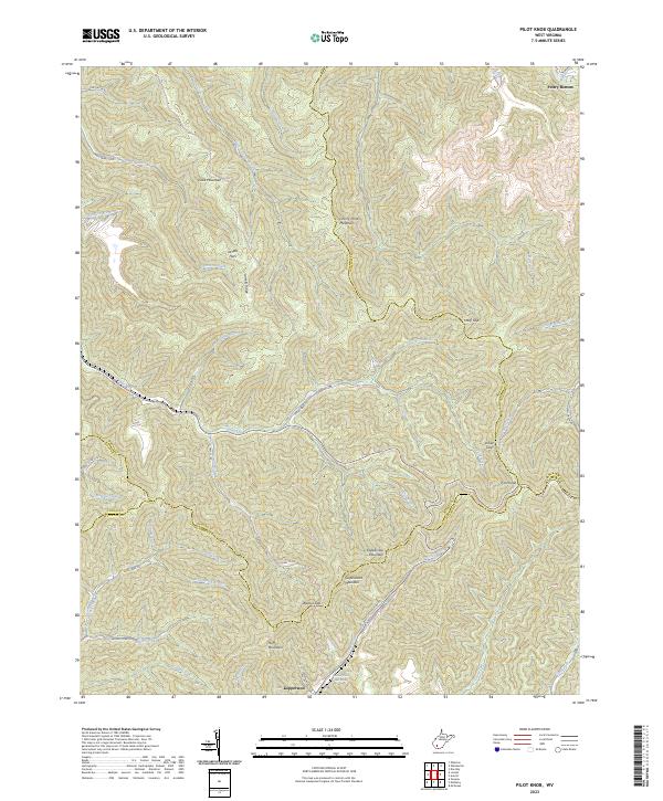 2023 Pilot Knob2023 Print · USGSThe high ridges of Boone and Wyoming counties are documented here in the early 2020s, showing a landscape defined by steep peaks and coal-country valleys. Genealogists and hikers can locate Jarrells Flats, the Kimbell Water Works Spring, and the prominent Pilot Knob.
 - 2023 Map of Baileysville, 2023 Print
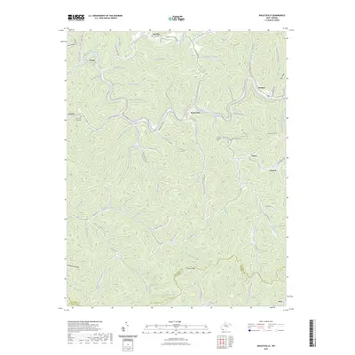 2023 Baileysville2023 Print · USGSWyoming County's coal country comes into focus in this recent survey of the Guyandotte River valley. Genealogists can locate family landmarks like the Bailey Cem (Historical) and Morgan Cem or trace settlements at Baileysville, Fanny, and Sun Hill.
 - 2023 Map of McGraws, 2023 Print
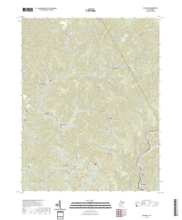 2023 McGraws2023 Print · USGSThe rugged coal country of Wyoming County is shown here in the 2020s, highlighting the enduring mountain settlements and deep hollows of southern West Virginia. Researchers can trace family sites at Pinegrove Church Cem or follow the old roads connecting Glen Rogers, Saulsville, and Milam.
 - 2023 Map of Mullens, 2023 Print
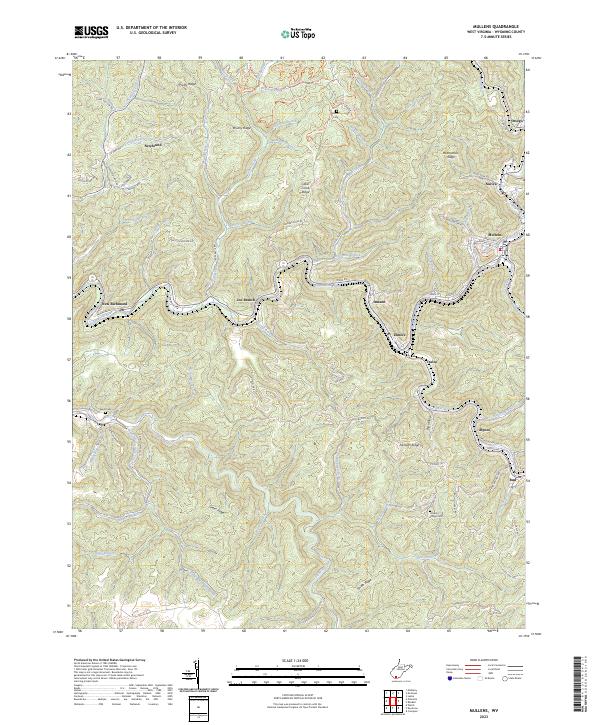 2023 Mullens2023 Print · USGSMullens and the surrounding Wyoming County hollows are shown in detail as they appear in the early 2020s. Genealogists and researchers can trace family landmarks and legacy sites like Hickory Ridge Cem, Alpoca, and the Pell School along the river valleys.
 - 2023 Map of Welch, 2023 Print
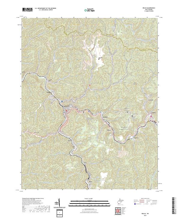 2023 Welch2023 Print · USGSMcDowell County's coal country comes into sharp focus during this era of modern topography and infrastructure. Genealogists can locate family sites near Old Belcher Mountain Community Cem or trace the river-bound settlements of Havaco and Wilcoe.
 - 2023 Map of Oceana, 2023 Print
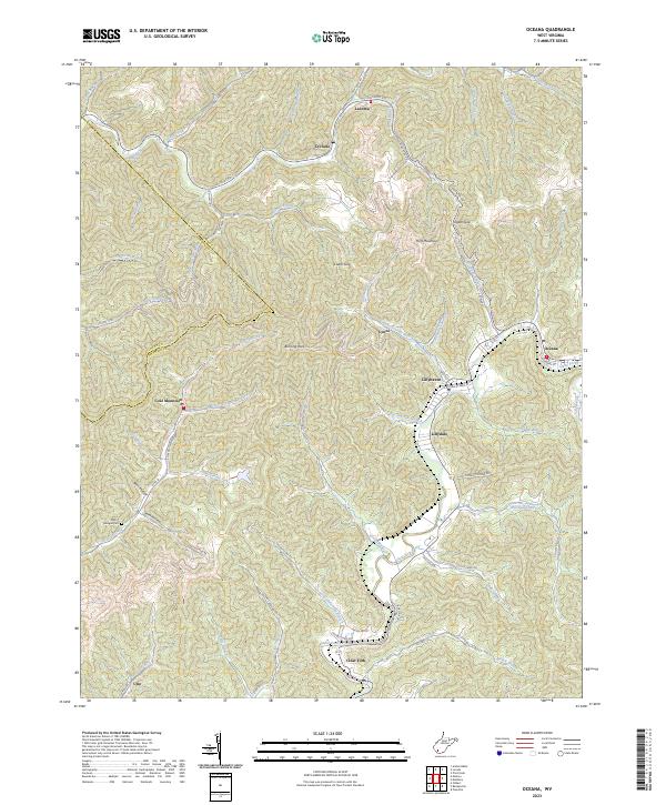 2023 Oceana2023 Print · USGSModern Wyoming County mountain life is traced through this survey of the coalfields and narrow river valleys. Genealogists and local researchers can locate family sites such as Milty T Morgan Cem or explore communities like Coal Mountain and Lillydale.
 - 2023 Map of Mallory, 2023 Print
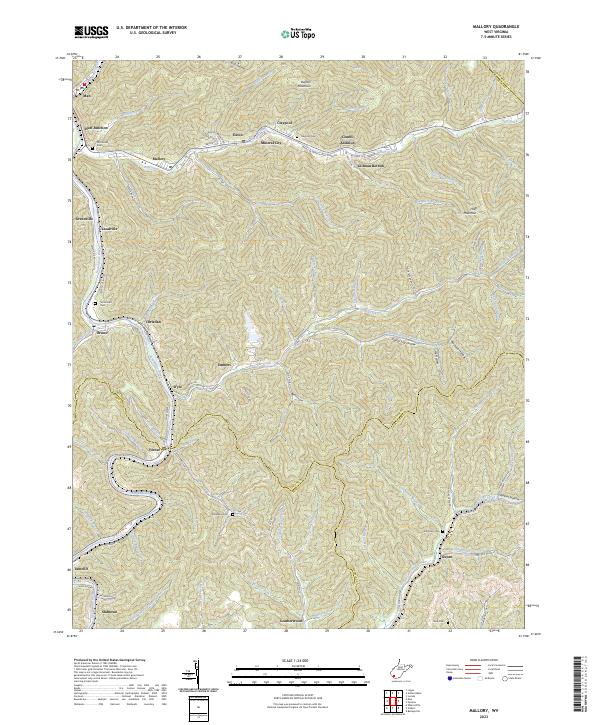 2023 Mallory2023 Print · USGSThe Guyandotte River valley serves as the backbone for this modern look at Logan County coal country. Genealogists can trace family burial sites like McDonald Cem and Browning Cem or explore the narrow hollows of Mineral City and Slabtown.
 - 2023 Map of Davy, 2023 Print
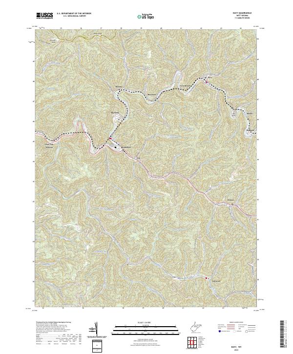 2023 Davy2023 Print · USGSMcDowell County's narrow valleys and mining heritage are documented here in the early twenty-first century. Researchers can trace the layout of Coalwood and Davy, locate the Iaeger Memorial Cem, and follow roads like Old Mining Rd through the hollows.
 - 2023 Map of Rhodell, 2023 Print
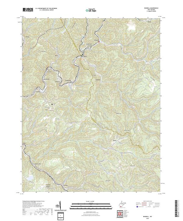 2023 Rhodell2023 Print · USGSThe West Virginia coalfields near the Raleigh and Wyoming county line come into focus in this contemporary study. Researchers can trace family history through Milam Cem or locate old rail-and-river towns like Amigo, Stephenson, and Herndon.
 - 2023 Map of Arnett, 2023 Print
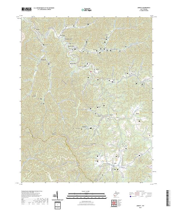 2023 Arnett2023 Print · USGSRaleigh County communities like Arnett and Bolt remain deeply connected to the mountain hollows and winding creek beds of the West Virginia coalfields. Researchers can trace family history through dozens of small cemeteries and local landmarks like Breckenridge Church and Clear Fork Gap.
 - 2023 Map of Lorado, 2023 Print
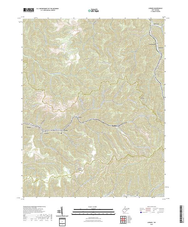 2023 Lorado2023 Print · USGSThe coal valleys of Boone and Logan counties are mapped here in the early 2020s, showing the enduring settlement patterns along Buffalo Creek. Local history researchers can trace family landmarks like Daniels Cem and settlements such as Lorado and Pardee.
End of results
Showing maps 1-19 of 19
Top cities of Wyoming County
- Mullens historical maps
- Oceana historical maps
- Pineville historical maps
- Kopperston historical maps
- Glen Fork historical maps
- Matheny historical maps
See more
Frequently asked questions
- What are the different types of historical maps available for Wyoming County?
- What is the oldest map of Wyoming County?
- Where can I purchase historical maps of Wyoming County for my home or office?
- Where can I download high-res historical maps of Wyoming County?
- Are there historical topographic maps available for Wyoming County?
- Is there historical aerial imagery available for Wyoming County?
- Where are historical maps of Wyoming County sourced from?