2010s Maps of Wyoming County, West Virginia
Explore 76 historic maps of Wyoming County from the 2010s. These maps offer a rare glimpse into what life looked like during the 2010s — showing old roads, neighborhoods, homes, and landmarks that have changed or disappeared over time.
Whether you're researching your family's past, planning a metal detecting trip, or studying how Wyoming County's landscape evolved across the 2010s, these high-resolution maps are a powerful tool for exploring the history of this region.
- Focus on a specific era: All maps on this page are from the 2010s, giving you a focused view of this time period.
- See what’s changed: Compare century-old streets, trails, and buildings to today's modern landscape using overlays and satellite layers.
- Research with precision: Use these maps for genealogy, historical research, land use analysis, or educational projects.
- View, download, or print: Maps are fully viewable online in high resolution, and can be downloaded or printed for your own records.
Start exploring Wyoming County's history through authentic maps from the 2010s. This is your window into the past.
Wyoming County, WV maps
(76)- 2011 Map of Pilot Knob, 2011 Print
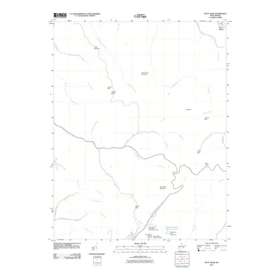 2011 Pilot Knob2011 Print · USGSThe coal country of southern West Virginia is captured here in the early twenty-first century, showing the scale of industrial modification in the mountains. Researchers can trace family-named features like Jarrells Flats alongside massive works like the Mill Branch Coal Refuse Dam.
 - 2011 Map of Pineville, 2011 Print
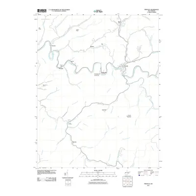 2011 Pineville2011 Print · USGSWest Virginia's coal country comes into focus during the early twenty-first century along the winding Guyandotte River. Genealogists and historians can trace the locations of the Wyoming Post Office and Wolf Pen Post Office or study industrial sites like Shane Coal.
 - 2011 Map of Rhodell, 2011 Print
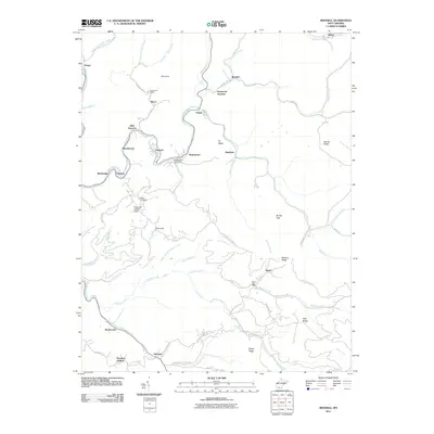 2011 Rhodell2011 Print · USGSSouthern West Virginia’s coal country is shown here in the early twenty-first century, centered on the Guyandotte River. Researchers can trace old mountain communities like Stonecoal Junction and Iroquois, or locate the Milam Cemetery and local post offices.
 - 2011 Map of Amherstdale, 2011 Print
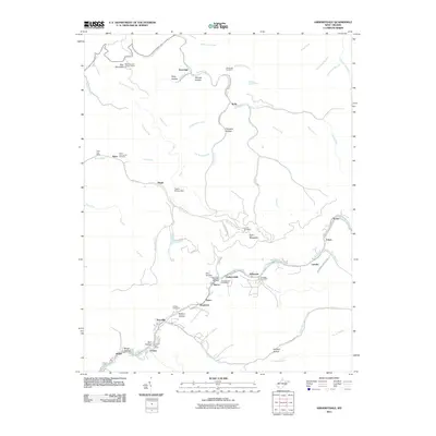 2011 Amherstdale2011 Print · USGSThe West Virginia coal country comes alive in this Logan County survey, showing the deep valley communities along Buffalo Creek. Trace family history and local roots through the Yolyn Post Office, Riley Cemetery, and the Blair Mountain Lookout Tower.
 - 2011 Map of McGraws, 2011 Print
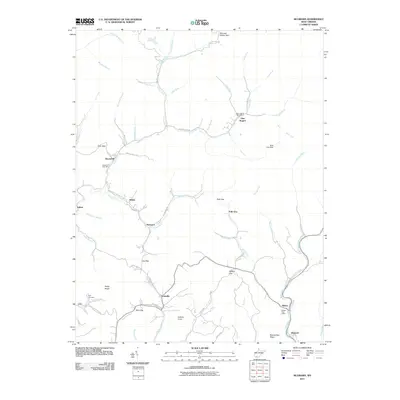 2011 McGraws2011 Print · USGSThe coal and timber country of Wyoming County is seen here in the early twenty-first century as a network of deep-hollow settlements and high ridges. Local historians can trace the foundations of communities at Glen Rogers, locate the Frye Cemetery, and follow the path of the Slab Fork railroad.
 - 2011 Map of Mallory, 2011 Print
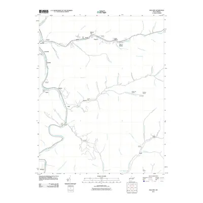 2011 Mallory2011 Print · USGSCoal towns and mountain hollows define this Logan County landscape at the start of the 2010s, where settlements follow the winding banks of the Guyandotte River. Genealogists can trace family landmarks like McDonald Cemetery or locate historic service hubs like the Davin Post Office and Emmett Post Office.
 - 2011 Map of Crumpler, 2011 Print
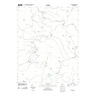 2011 Crumpler2011 Print · USGSMcDowell County's rugged mining landscape is captured here just after the turn of the millennium, showing a terrain defined by deep hollows and high ridges. Genealogists can locate family-named sites like Bailey Cemetery or trace the small post offices at Crumpler and McComas.
 - 2011 Map of Oceana, 2011 Print
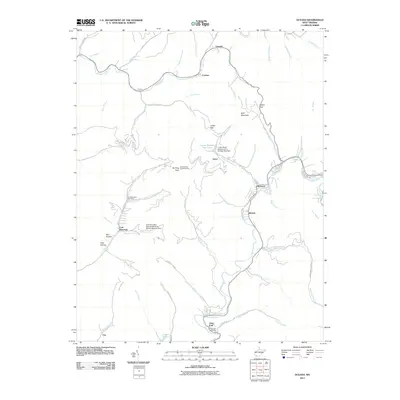 2011 Oceana2011 Print · USGSWyoming County's coal heritage and mountain settlements are mapped here during a period of active industrial infrastructure. Researchers can trace local landmarks like the Coal Mountain Post Office, the Burning Rock Lookout Tower, and the waters of Lynco Number Two Lake.
 - 2011 Map of Baileysville, 2011 Print
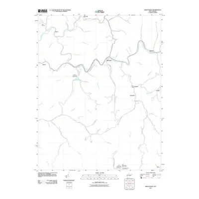 2011 Baileysville2011 Print · USGSWyoming County's river valleys and mountain hollows are shown here in the early 21st century as the Guyandotte River winds through Baileysville and Brenton. Local historians can trace established communities like Fanrock and Stoneville or locate specific landmarks like Horse Creek Dam Number One.
 - 2011 Map of Welch, 2011 Print
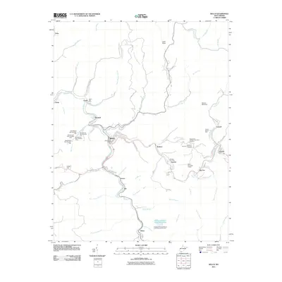 2011 Welch2011 Print · USGSMcDowell County's narrow coal-valleys and ridge-top communities are captured here in the early twenty-first century. Genealogists and local historians can trace family sites at Old Belcher Mountain Community Cemetery and explore old rail-side towns like Havaco, Jed, and Wilcoe.
 - 2011 Map of Keystone, 2011 Print
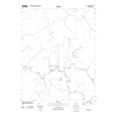 2011 Keystone2011 Print · USGSMcDowell County's deep coal-mining heritage is on full display in this early twenty-first-century survey of the Elkhorn Creek valley. Researchers can trace local genealogy and industry through the Algoma Coal Impoundment, Worth Post Office, and Rockhouse Cemetery.
 - 2011 Map of Lorado, 2011 Print
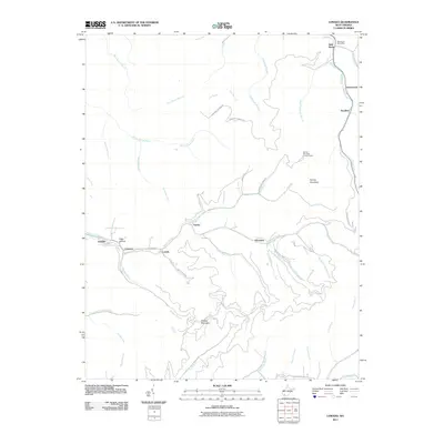 2011 Lorado2011 Print · USGSThe coal branch valleys of Logan County are shown here in the early twenty-first century, centered on the settlement of Lorado. Genealogists and local historians can trace family locations and landmarks from Elsie Hollow to the Bald Knob Post Office.
 - 2011 Map of Arnett, 2011 Print
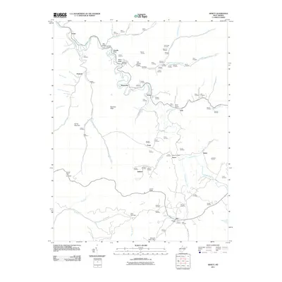 2011 Arnett2011 Print · USGSRaleigh County's mountain hollows and river bends are captured here in the early twenty-first century, showing a landscape defined by lineage and terrain. Genealogists can trace family sites from the Flashman Cemetery to the Bolt Post Office and Fairview School.
 - 2011 Map of Davy, 2011 Print
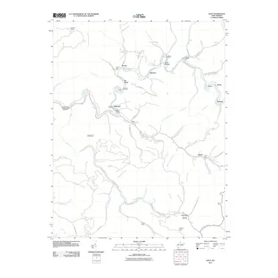 2011 Davy2011 Print · USGSMcDowell County's narrow hollows and steep ridges are shown here in the early twenty-first century, tracing the enduring legacy of Appalachian coal communities. Researchers can locate family landmarks like Iaeger Memorial Cemetery and local centers such as Coalwood and Marytown.
 - 2011 Map of Mullens, 2011 Print
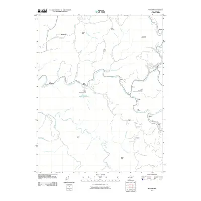 2011 Mullens2011 Print · USGSThe Guyandotte River valley in Wyoming County shows its industrial and community character in the early twenty-first century. Genealogists can locate family landmarks such as Hickory Ridge Cemetery and the Alpoca Post Office among the ridges.
 - 2011 Map of Odd, 2011 Print
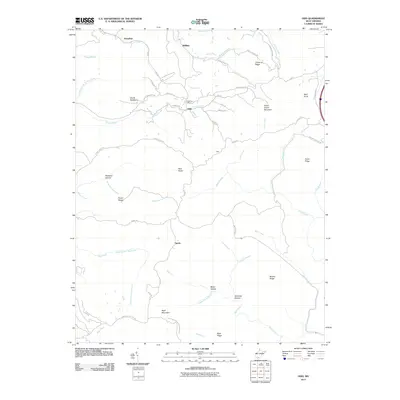 2011 Odd2011 Print · USGSSouthern West Virginia's high ridges and hollows are captured here during the early twenty-first century. Genealogists and local historians can trace family-named landmarks and small communities such as Odd, Egeria, and Josephine, or locate the Odd Post Office.
 - 2011 Map of Matheny, 2011 Print
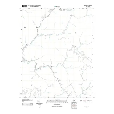 2011 Matheny2011 Print · USGSWyoming County communities along the Clear Fork and Laurel Fork rivers are captured in the early twenty-first century. Genealogists and local historians can trace family locations from Oceana to Matheny, or locate the Hillcrest Memorial Gardens and the industrial infrastructure at Kopperston.
 - 2011 Map of Lester, 2011 Print
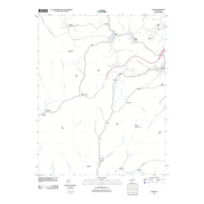 2011 Lester2011 Print · USGSSouthern West Virginia coalfield life is centered in the hollows and along the ridges of this late-twentieth-century study. Genealogists and historians can trace family roots through Slab Fork Cemetery or locate old operations at Tams and Helen.
 - 2011 Map of Gilbert, 2011 Print
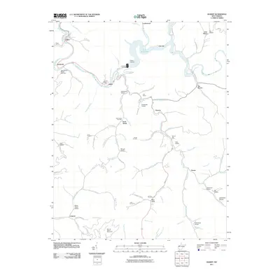 2011 Gilbert2011 Print · USGSMingo County mountain life is centered on the Guyandotte River and the expansive R. D. Bailey Lake in this recent era. Genealogists can trace family names at Lester Cemeteries or locate old community hubs like North Spring and Steeles.
 - 2014 Map of Pilot Knob, 2014 Print
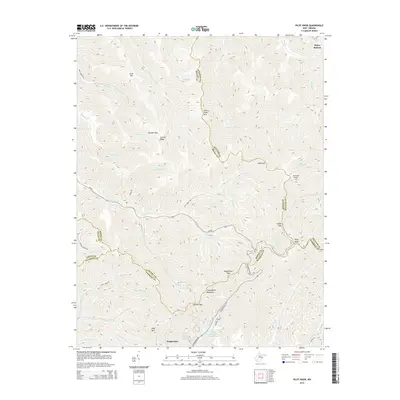 2014 Pilot Knob2014 Print · USGSThe West Virginia coalfields are revealed in this 2014 survey at the junction of Boone, Raleigh, and Wyoming counties. Researchers can trace family-named landmarks like Jarrells Ridge and Pettry Bottom or locate the Kimbrell Water Works Spring.
 - 2014 Map of Gilbert, 2014 Print
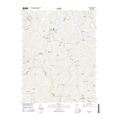 2014 Gilbert2014 Print · USGSMingo and Wyoming counties appear in this detailed study of the West Virginia coalfields as the area adapted to the Guyandotte River's major impoundment. Local historians can trace family lineages through the Ritchie and Cline Cemetery or locate old community centers like North Spring, Hanover, and Gilbert Creek.
 - 2014 Map of Mullens, 2014 Print
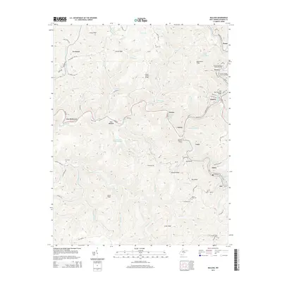 2014 Mullens2014 Print · USGSSouthern West Virginia's coal country comes into sharp focus during the mid-2010s, following the winding Guyandotte River through its narrow valleys. Genealogists and researchers can trace family names at Evans Cem or locate the historic industrial footprints of Itmann, Elmore, and Tralee.
 - 2014 Map of Davy, 2014 Print
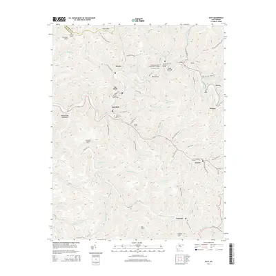 2014 Davy2014 Print · USGSMcDowell County's rugged coal-mining landscape is captured here in the early twenty-first century, showing the dense settlement patterns along the Tug Fork. Researchers can trace local landmarks like the Jaeger Memorial Cem, the Twin Branch Tunnel, and the historic Coalwood area.
 - 2014 Map of Arnett, 2014 Print
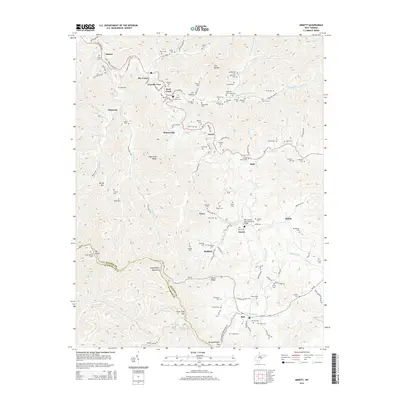 2014 Arnett2014 Print · USGSIn the coalfields of Raleigh and Wyoming Counties during the 2010s, life centers on the winding river forks and steep ridges. Genealogists can trace family heritage through dozens of sites like Rorrer Cem and Stewart Cem, or locate landmarks such as the Ivy Knob Lookout Tower.
 - 2014 Map of Welch, 2014 Print
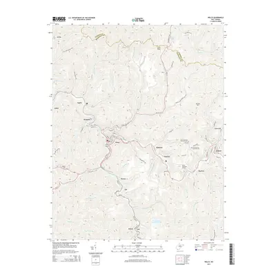 2014 Welch2014 Print · USGSMcDowell County's narrow river valleys and mountain ridges are shown here during the early twenty-first century. Researchers can trace the legacy of mining communities from Welch to Gary, and locate family burial sites at Old Belcher Mtn Community Cem.
Showing maps 1-25 of 76
Top cities of Wyoming County
- Mullens historical maps
- Oceana historical maps
- Pineville historical maps
- Kopperston historical maps
- Glen Fork historical maps
- Matheny historical maps
See more
Frequently asked questions
- What are the different types of historical maps available for Wyoming County?
- What is the oldest map of Wyoming County?
- Where can I purchase historical maps of Wyoming County for my home or office?
- Where can I download high-res historical maps of Wyoming County?
- Are there historical topographic maps available for Wyoming County?
- Is there historical aerial imagery available for Wyoming County?
- Where are historical maps of Wyoming County sourced from?