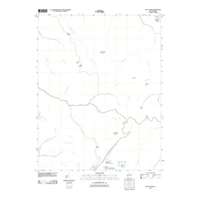
2011 Map of Pilot Knob
USGS Topo · Published 2011About this map
Pettry Bottom lies along the northern edge of this West Virginia landscape, where the waters of Shumate Creek meet the Marsh Fork. The map documents a terrain deeply shaped by the regional coal industry, evidenced by massive engineering projects such as the Kopperston Number Four Slurry Pond and the Mill Branch Coal Refuse Dam at the base of Kopperston Mountain. High ridges and family-named landmarks like Jarrells Ridge, Jarrells Flats, and Jarrells Field define the topography between the drainages of Pond Fork and Hazy Creek. Numerous gaps and knobs, including Indian Gap, Walnut Gap, and the prominent Pilot Knob, serve as natural markers across this industrial and mountainous interior during the early 2010s.
Find a feature on this map
44 named features on this map. Tap any name to fly to it.
Don’t see what you’re looking for? This feature index may not catch every label — zoom into the map to look around manually.
Map Details
Editions of this 2011 Pilot Knob Map
This is the sole edition of this map. No revisions or reprints were ever made.
Other maps of this area

1891 · Oceana
USGS Topo · 1:125,000

1891 · Raleigh
USGS Topo · 1:125,000

1893 · Oceana
USGS Topo · 1:125,000

1897 · Raleigh
USGS Topo · 1:125,000

1898 · Oceana
USGS Topo · 1:125,000

1902 · Raleigh
USGS Topo · 1:125,000

1910 · Pineville
USGS Topo · 1:48,000

1910 · Bald Knob
USGS Topo · 1:48,000

1911 · Marshes
USGS Topo · 1:48,000

1912 · Mullens
USGS Topo · 1:62,500