
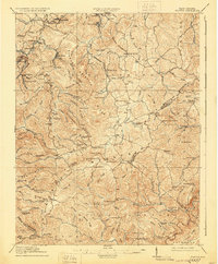
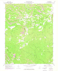
1911 Map of Marshes
USGS Topo · Published 1911About this map
Raleigh County and surrounding borderlands are captured here in an era of rural expansion, where mountain hollows are dotted with community-centered institutions. The landscape is defined by the drainage basins of the Clear Fork and Marsh Fork, which provide the topographical skeleton for a network of early 20th-century settlements. Numerous family-named and community schools, such as White Rose School, Meadow Inn School, and Shumate School, appear along the winding creeks, highlighting the dispersed nature of the population before the consolidation of the modern era. The presence of the Matville P O and rail-adjacent stops like Eccles and Pax shows the reliance on the river valleys for communication and commerce. Surveyed by Fred McLaughlin and others, this document records the intricate system of ridges like Peachtree Ridge and gaps like Skin Poplar Gap that shaped the movement of goods and people across the West Virginia high country.
Find a feature on this map
170 named features on this map. Tap any name to fly to it.
Don’t see what you’re looking for? This feature index may not catch every label — zoom into the map to look around manually.
Map Details
Editions of this 1911 Marshes Map
This is the sole edition of this map. No revisions or reprints were ever made.
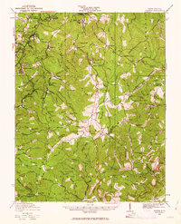
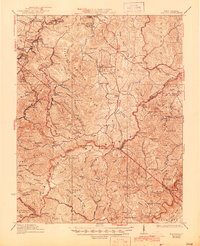
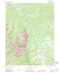
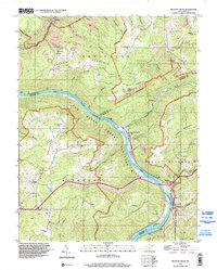
Historical Maps of Pax Through Time
12 maps found

1911 Flattop
Raleigh County, WV
1911 Marshes
Raleigh County, WV
1914 Flattop
Raleigh County, WV
1929 Flattop
Raleigh County, WV
1932 Flattop
Raleigh County, WV
1964 Arnett
Raleigh County, WV
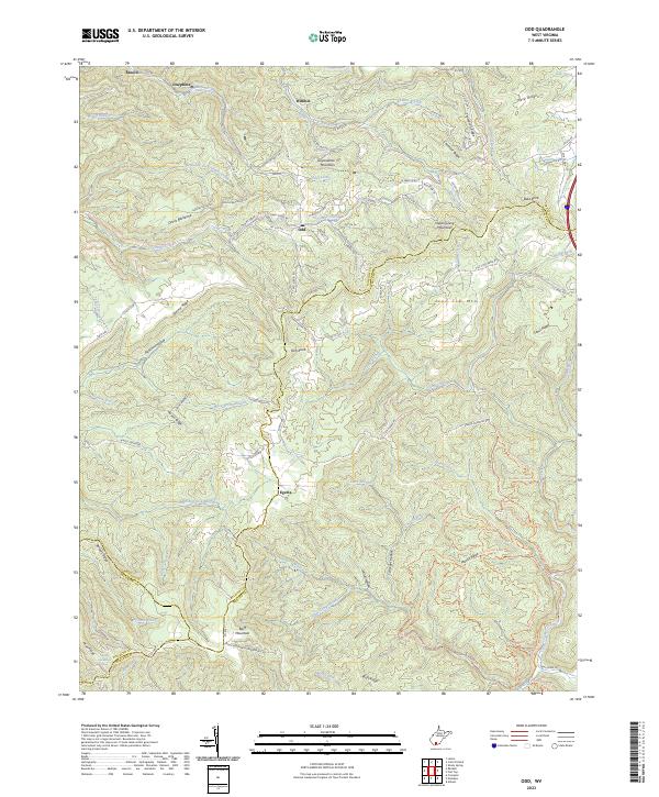
1968 Odd
Raleigh County, WV
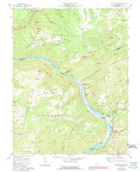
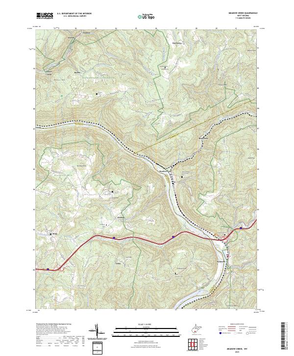
1969 Meadow Creek
Raleigh County, WV
1996 Meadow Creek
Raleigh County, WV
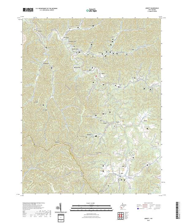
2023 Arnett
Raleigh County, WV
2023 Meadow Creek
Raleigh County, WV
2023 Odd
Raleigh County, WV