2000s (21st Century) Maps of Oceana, West Virginia
Explore 10 historic maps of Oceana from the 2000s (21st Century). These maps offer a rare glimpse into what life looked like during the 2000s — showing old roads, neighborhoods, homes, and landmarks that have changed or disappeared over time.
Whether you're researching your family's past, planning a metal detecting trip, or studying how Oceana's landscape evolved across the 2000s, these high-resolution maps are a powerful tool for exploring the history of this region.
- Focus on a specific era: All maps on this page are from the 2000s, giving you a focused view of this time period.
- See what’s changed: Compare century-old streets, trails, and buildings to today's modern landscape using overlays and satellite layers.
- Research with precision: Use these maps for genealogy, historical research, land use analysis, or educational projects.
- View, download, or print: Maps are fully viewable online in high resolution, and can be downloaded or printed for your own records.
Start exploring Oceana's history through authentic maps from the 2000s. This is your window into the past.
Oceana, WV maps
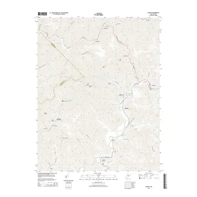
(10)- 2011 Map of Oceana, 2011 Print
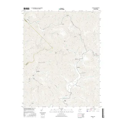
 2011 Oceana2011 Print · USGSCovers Oceana, including Cyclone, Clear Fork, and other nearby areas
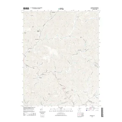
 - 2011 Map of Matheny, 2011 Print
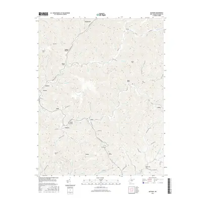
 2011 Matheny2011 Print · USGSCovers Oceana, including Kopperston, Glen Fork, and other nearby areas
 - 2014 Map of Oceana, 2014 Print
 2014 Oceana2014 Print · USGSCovers Oceana, including Cyclone, Clear Fork, and other nearby areas
 - 2014 Map of Matheny, 2014 Print
 2014 Matheny2014 Print · USGSCovers Oceana, including Kopperston, Glen Fork, and other nearby areas
 - 2016 Map of Matheny, 2016 Print
 2016 Matheny2016 Print · USGSCovers Oceana, including Kopperston, Glen Fork, and other nearby areas
 - 2016 Map of Oceana, 2016 Print
 2016 Oceana2016 Print · USGSCovers Oceana, including Cyclone, Clear Fork, and other nearby areas
 - 2019 Map of Oceana, 2019 Print
 2019 Oceana2019 Print · USGSCovers Oceana, including Cyclone, Clear Fork, and other nearby areas
 - 2019 Map of Matheny, 2019 Print
 2019 Matheny2019 Print · USGSCovers Oceana, including Kopperston, Glen Fork, and other nearby areas
 - 2023 Map of Matheny, 2023 Print
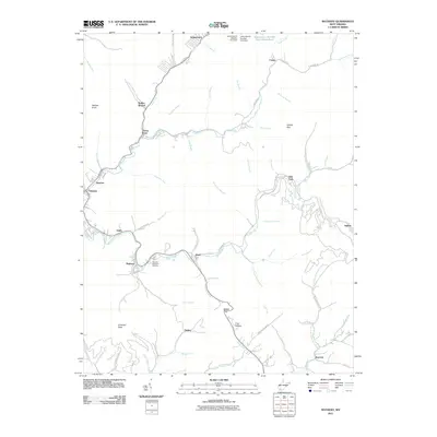
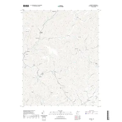
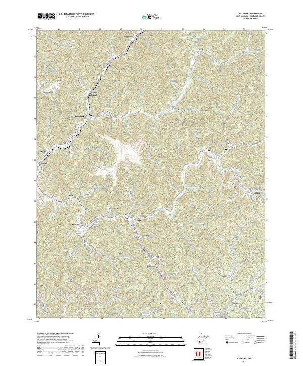 2023 Matheny2023 Print · USGSWyoming County's deep hollows and timbered ridges are shown here in the 2020s, centering on the community of Matheny. Genealogists can locate family sites at Cook Cem, Glen Fork Cem, and Hillcrest Memorial Gardens along the banks of the Clear Fork.
 - 2023 Map of Oceana, 2023 Print
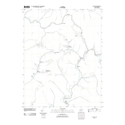
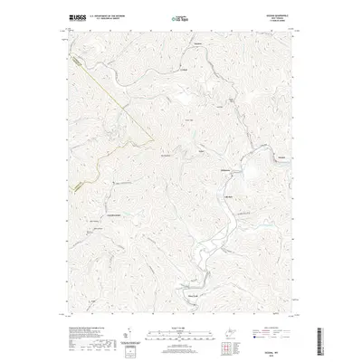
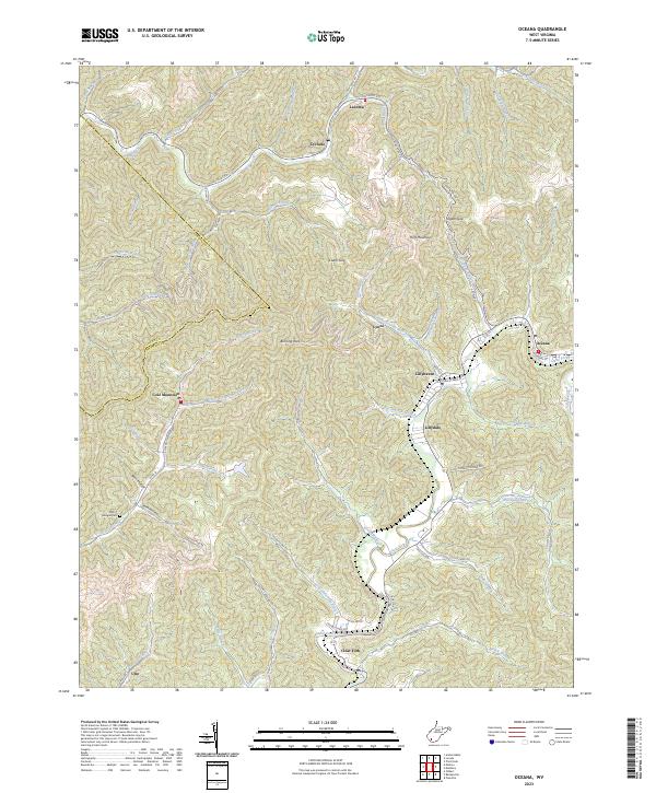 2023 Oceana2023 Print · USGSModern Wyoming County mountain life is traced through this survey of the coalfields and narrow river valleys. Genealogists and local researchers can locate family sites such as Milty T Morgan Cem or explore communities like Coal Mountain and Lillydale.
End of results
Showing maps 1-10 of 10
Top cities near Oceana
- Welch historical maps
- Mallory historical maps
- Pineville historical maps
- Accoville historical maps
- Kopperston historical maps
- Robinette historical maps
See more
Top neighborhoods of Oceana
Frequently asked questions
- What are the different types of historical maps available for Oceana?
- What is the oldest map of Oceana?
- Where can I purchase historical maps of Oceana for my home or office?
- Where can I download high-res historical maps of Oceana?
- Are there historical topographic maps available for Oceana?
- Is there historical aerial imagery available for Oceana?
- Where are historical maps of Oceana sourced from?