Old Maps of Oceana, West Virginia for Hiking & Exploration
Hike through history with 24 historic maps of Oceana. Explore old trails, ghost towns, and forgotten backroads — perfect for outdoor adventurers and local explorers.
- Rediscover forgotten places: Map out old mining camps, roads, and footpaths that no longer exist on modern maps.
- Layer with modern tools: Combine with LiDAR or satellite views to plan hikes through historical terrain.
- Made for exploration: Popular among hikers, overlanders, and local history lovers.
Use these maps to find adventure and explore the hidden past of Oceana.
Oceana, WV maps
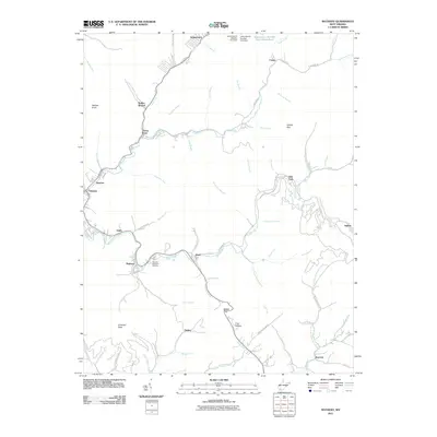
(24)- 1891 Map of Oceana
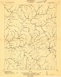
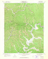
 1891 Oceana1891 Print · USGSSouthern West Virginia in the late nineteenth century was a world of deep valleys and isolated mountain settlements. Genealogists and historians can trace early family sites along the Guyandotte River near Oceana, Logan C.H., and Whites Mills.
 - 1893 Map of Oceana
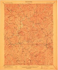
 1893 Oceana1893 Print · USGSSouthern West Virginia’s rugged coal country is captured here in the late nineteenth century, showing a landscape of deep hollows and high ridges. Researchers can trace ancestral homes and early industry at Logan C.H., Whites Mills, and Jarrold's Valley.
 - 1898 Map of Oceana
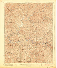
 1898 Oceana1898 Print · USGSSouthern West Virginia in the late nineteenth century remains a landscape of isolated mountain settlements and complex river drainages. Genealogists can trace early homesteads and family-named landmarks near Oceana, Pineville, and Baileysville before the rise of the modern coal industry.4 unique versions available
 - 1910 Map of Pineville
 1910 Pineville1910 Print · USGSWyoming County at the dawn of the twentieth century was a landscape of deep hollows and high ridges connected by the Guyandot River. Genealogists can trace family footprints in early settlements like Baileysville, Oceana, and near the old McDonald Mill.2 unique versions available
 - 1912 Map of Pineville
 1912 Pineville1912 Print · USGSWyoming County at the dawn of the twentieth century shows a landscape of river-valley settlements and high ridges. Researchers can locate early homesteads and community centers like Baileysville, Pineville, and the remote Sun Hill along the Huff Mountain range.
 - 1927 Map of Pineville
 1927 Pineville1927 Print · USGSWyoming County in the mid-twenties shows a landscape shaped by narrow hollows and the timber-driven expansion of the Virginian RR. Genealogists can trace early families through numerous rural landmarks like the Olinger School, Clear Fork PO, and Matheney School.2 unique versions available
 - 1955 Map of Bluefield
 1955 Bluefield1955 Print · USGSThe Central Appalachian borderlands come alive in the mid-fifties, showing the coal and rail networks connecting Bluefield to Beckley. Researchers can trace the industrial landscape of the New River Ordnance Plant and the terrain of Burkes Garden.
 - 1957 Map of Bluefield, 1967 Print
 1957 Bluefield1967 Print · USGSThe heart of Central Appalachia in the mid-fifties is defined by the winding rail lines and river valleys of the coalfields. Researchers can trace the industrial footprints of towns like Welch and Princeton or locate landmarks such as the Bluestone Reservoir and Claytor Lake.2 unique versions available
 - 1961 Map of Bluefield
 1961 Bluefield1961 Print · USGSThe coalfields and mountain ridges of southern West Virginia and southwest Virginia are captured in the early sixties. Genealogists can trace family ties through rail-linked towns like Princeton and Richlands or along the shores of Bluestone Reservoir.
 - 1967 Map of Matheny, 1971 Print
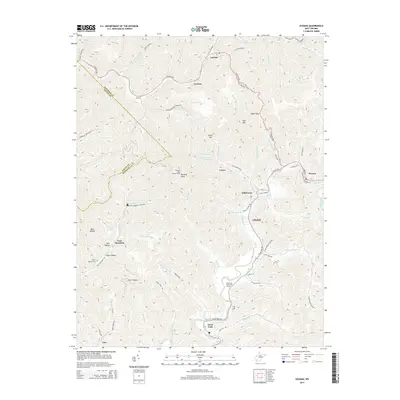
 1967 Matheny1971 Print · USGSWyoming County's coal-and-rail landscape is captured here during the late sixties, as settlements followed the narrow valleys of the Clear Fork and Laurel Fork. Genealogists and historians can trace local landmarks like Hillcrest Memorial Gardens, the Keyrock Ch, and the old Drive-in Theater near Oceana.2 unique versions available
 - 1968 Map of Oceana, 1971 Print
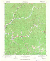
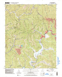
 1968 Oceana1971 Print · USGSSouthern West Virginia’s coal and gas country is captured here in the late sixties, showing the tight-knit valley communities and mountain industry. You can trace early school sites like Road Branch School or locate family-named features along Huff Creek and the Norfolk and Western line.4 unique versions available
 - 1982 Map of Beckley, 1984 Print
 1982 Beckley1984 Print · USGSSouthern West Virginia coal country is captured here in the early eighties as industrial heritage met new wilderness protections. Genealogists and historians can trace the rail-linked communities of Beckley, Oak Hill, and the coal camps near Macdonald.
 - 1996 Map of Oceana, 2003 Print
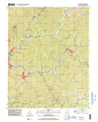
 1996 Oceana2003 Print · USGSSouthern West Virginia’s rugged coal country is documented here in the mid-nineties, showing the integration of deep-hollow settlements and industrial infrastructure. Researchers can trace local genealogy and land use through features like Lillyhaven, the Tipple Lynco Conveyor, and the Cyclone Ch.
 - 1996 Map of Matheny, 2003 Print
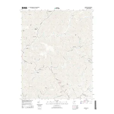
 1996 Matheny2003 Print · USGSThe West Virginia coal and gas country of the nineties is detailed here, centered on the Clear Fork and Huff Mountain valleys. Researchers can trace local communities and cemeteries like Hillcrest Memorial Gardens (Cem), Kopperston, and Glen Fork.
 - 2011 Map of Oceana, 2011 Print
 2011 Oceana2011 Print · USGSCovers Oceana, including Cyclone, Clear Fork, and other nearby areas
 - 2011 Map of Matheny, 2011 Print
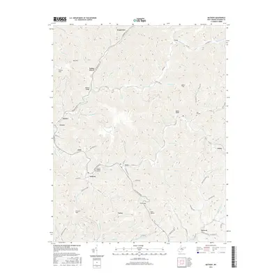
 2011 Matheny2011 Print · USGSCovers Oceana, including Kopperston, Glen Fork, and other nearby areas
 - 2014 Map of Oceana, 2014 Print
 2014 Oceana2014 Print · USGSCovers Oceana, including Cyclone, Clear Fork, and other nearby areas
 - 2014 Map of Matheny, 2014 Print
 2014 Matheny2014 Print · USGSCovers Oceana, including Kopperston, Glen Fork, and other nearby areas
 - 2016 Map of Matheny, 2016 Print
 2016 Matheny2016 Print · USGSCovers Oceana, including Kopperston, Glen Fork, and other nearby areas
 - 2016 Map of Oceana, 2016 Print
 2016 Oceana2016 Print · USGSCovers Oceana, including Cyclone, Clear Fork, and other nearby areas
 - 2019 Map of Oceana, 2019 Print
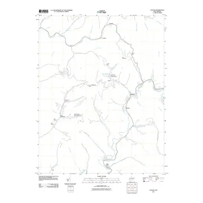
 2019 Oceana2019 Print · USGSCovers Oceana, including Cyclone, Clear Fork, and other nearby areas
 - 2019 Map of Matheny, 2019 Print
 2019 Matheny2019 Print · USGSCovers Oceana, including Kopperston, Glen Fork, and other nearby areas
 - 2023 Map of Matheny, 2023 Print
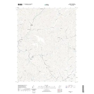
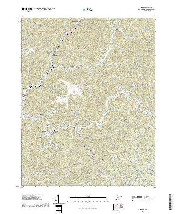 2023 Matheny2023 Print · USGSWyoming County's deep hollows and timbered ridges are shown here in the 2020s, centering on the community of Matheny. Genealogists can locate family sites at Cook Cem, Glen Fork Cem, and Hillcrest Memorial Gardens along the banks of the Clear Fork.
 - 2023 Map of Oceana, 2023 Print
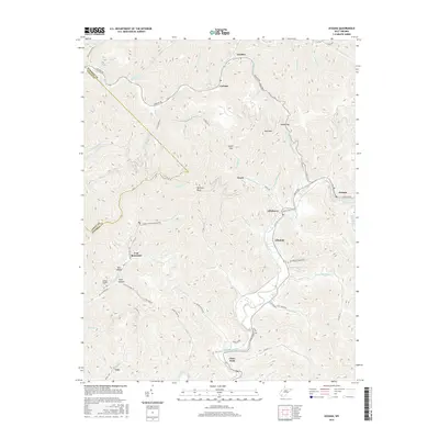
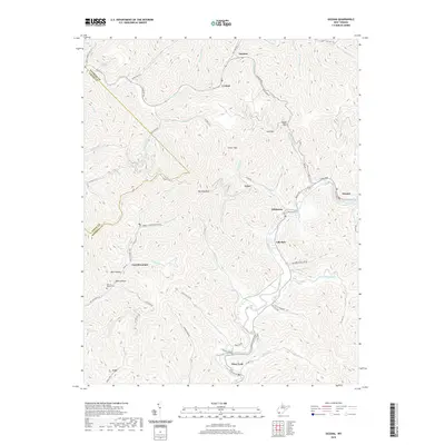
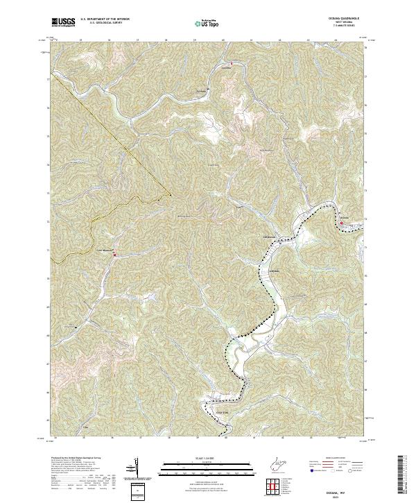 2023 Oceana2023 Print · USGSModern Wyoming County mountain life is traced through this survey of the coalfields and narrow river valleys. Genealogists and local researchers can locate family sites such as Milty T Morgan Cem or explore communities like Coal Mountain and Lillydale.
End of results
Showing maps 1-24 of 24
Top cities near Oceana
- Welch historical maps
- Mallory historical maps
- Pineville historical maps
- Accoville historical maps
- Kopperston historical maps
- Robinette historical maps
See more
Top neighborhoods of Oceana
Frequently asked questions
- What are the different types of historical maps available for Oceana?
- What is the oldest map of Oceana?
- Where can I purchase historical maps of Oceana for my home or office?
- Where can I download high-res historical maps of Oceana?
- Are there historical topographic maps available for Oceana?
- Is there historical aerial imagery available for Oceana?
- Where are historical maps of Oceana sourced from?