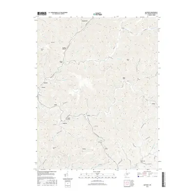
2016 Map of Matheny
USGS Topo · Published 2016About this map
Oceana and Kopperston anchor this mountainous section of Wyoming County, where the landscape is defined by the winding course of the Laurel Fork and Clear Fork rivers. The settlement pattern follows the narrow valley floors, with towns like Matheny and Jesse connected by routes such as Jesse Mountain Rd. These communities are hemmed in by steep terrain, including Huff Mtn and Panther Knob, creating a distinct linear development common in the West Virginia coalfields.
Find a feature on this map
91 named features on this map. Tap any name to fly to it.
Don’t see what you’re looking for? This feature index may not catch every label — zoom into the map to look around manually.
Map Details
Editions of this 2016 Matheny Map
This is the sole edition of this map. No revisions or reprints were ever made.
Other maps of this area

1891 · Oceana
USGS Topo · 1:125,000

1891 · Raleigh
USGS Topo · 1:125,000

1893 · Oceana
USGS Topo · 1:125,000

1897 · Raleigh
USGS Topo · 1:125,000

1898 · Oceana
USGS Topo · 1:125,000

1902 · Raleigh
USGS Topo · 1:125,000

1910 · Pineville
USGS Topo · 1:48,000

1910 · Bald Knob
USGS Topo · 1:48,000

1911 · Marshes
USGS Topo · 1:48,000

1912 · Mullens
USGS Topo · 1:62,500