Old Maps of Jackson, Wisconsin for Metal Detecting
Plan your next treasure hunt with 15 historic maps of Jackson. Find old homesites, ghost towns, trails, and gathering spots that may be lost to time — perfect for identifying promising metal detecting locations.
- Locate forgotten sites: Uncover places like long-lost settlements, abandoned rail lines, or gathering spots.
- Plan better hunts: Use map overlays combined with LiDAR or satellite views to narrow in on historically rich areas.
- Made for detectorists: Thousands of hobbyists use these maps to discover relics, coins, and hidden history.
Use these historic maps to boost your research and find new opportunities beneath the surface of Jackson.
Jackson, WI maps
(15)- 1902 Map of Briggsville
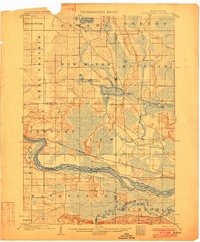 1902 Briggsville1902 Print · USGSThe Wisconsin River valley at the turn of the century shows a landscape of river-and-rail industry. Trace the early township developments of Lewiston and Douglas, or locate original landmarks like the Levee and Big Spring.4 unique versions available
 - 1957 Map of Madison, 1967 Print
 1957 Madison1967 Print · USGSSouth-central Wisconsin in the mid-fifties reveals a landscape of industrial hubs and glacial lakes linked by a dense rail and highway network. Genealogists and historians can trace the development of lakeside communities and find notable sites like Badger Ordnance Works and the Horicon National Wildlife Refuge.3 unique versions available
 - 1958 Map of Briggsville, 1959 Print
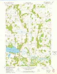
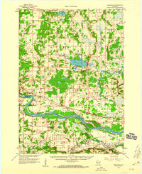 1958 Briggsville1959 Print · USGSThe rural landscapes of south-central Wisconsin are captured here in the late fifties, showcasing the crossroads of three counties. You can trace family history through numerous country schools like Stafford Sch and landmarks such as Douglas Ch.3 unique versions available
 - 1960 Map of Madison
 1960 Madison1960 Print · USGSCentral and Southern Wisconsin are captured in the late fifties, showing the region as its rail-and-river network matured. Trace the paths of the Soo Line RR or locate family roots near Lake Mendota and Horicon National Wildlife Refuge.2 unique versions available
 - 1961 Map of Oxford, 1963 Print
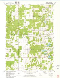
 1961 Oxford1963 Print · USGSMarquette and Adams counties are shown here in the early sixties, a landscape of glacial lakes and small farming townships. Genealogists and historians can trace the locations of St Methodius Ch, Lincoln Sch, and the winding Chicago and North Western rail line.2 unique versions available
 - 1975 Map of Big Spring, 1978 Print
 1975 Big Spring1978 Print · USGSSettled between Adams and Columbia counties in the mid-1970s, this area shows a mix of rural town halls and lakefront recreation. Genealogists can trace local roots at Davis Corners Ch or explore the early lakeside developments of Jordan Lake and Big Spring.
 - 1975 Map of Briggsville, 1978 Print
 1975 Briggsville1978 Print · USGSBriggsville and the surrounding lake country are captured in the mid-seventies just as the region's recreational and agricultural identities converged. Genealogists and historians can locate the Douglas Ch, Greenwood Cem, and a local Cheese Factory near the shores of Mason Lake.
 - 1979 Map of Brooks
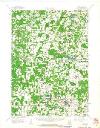
 1979 Brooks1979 Print · USGSAdams County land and water are meticulously detailed in this late seventies survey, showing the area as the local fishery was established. Researchers can trace rural lineages through the New Chester Ch, the Townhall, and old lakefront tracts near Peppermill Lake.
 - 1979 Map of Oxford
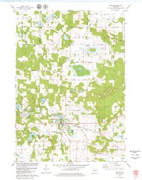 1979 Oxford1979 Print · USGSCentral Wisconsin wetlands and small-town life are captured here in the late seventies. Family historians can trace local sites like Oak Hill Cem, the village of Oxford, and the Chicago and North Western rail corridor.2 unique versions available
 - 1985 Map of Wisconsin Dells
 1985 Wisconsin Dells1985 Print · USGSCentral Wisconsin in the mid-eighties was a landscape of intricate river bends, rail junctions, and sprawling marshlands. Researchers can trace historic routes along the Soo Line or locate family landmarks near Lyndon Station, Buffalo Lake, and Puckaway Lake.
 - 1990 Map of Wisconsin Dells, 1991 Print
 1990 Wisconsin Dells1991 Print · USGSCentral Wisconsin's river valleys and lake country are captured in detail here during the late twentieth century. Researchers can trace the rail-and-water geography connecting Wisconsin Dells and Portage with landmarks like Blackhawk Island and Buffalo Lake.
 - 2022 Map of Briggsville, 2022 Print
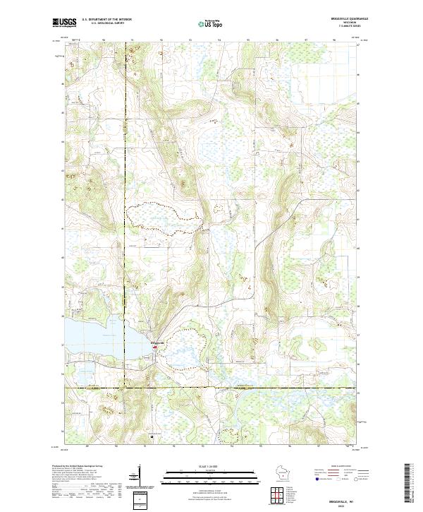 2022 Briggsville2022 Print · USGSBriggsville and the surrounding tri-county marshlands are captured in this recent survey. Local researchers can trace family landmarks and agricultural history near Mason Lake, Greenwood Cem, and the descriptively named Cheese Factory Rd.
 - 2022 Map of Oxford, 2022 Print
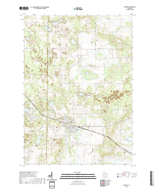 2022 Oxford2022 Print · USGSMarquette County's wetlands and glacial lakes characterize the landscape around Oxford during the early 2020s. Genealogists and historians can locate several family burial sites including Kelly Cem, Oak Hill Cem, and Oxford Village Cem.
 - 2022 Map of Brooks, 2022 Print
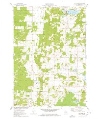
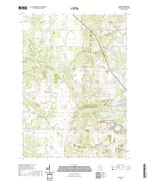 2022 Brooks2022 Print · USGSCentral Wisconsin lake country comes into focus in the early twenty-first century, showing the rural character of Adams County. Researchers can trace the development around Parker Lake and Deep Lake or locate the airfield at Clearwater-Aero-Estates Airport.
 - 2022 Map of Big Spring, 2022 Print
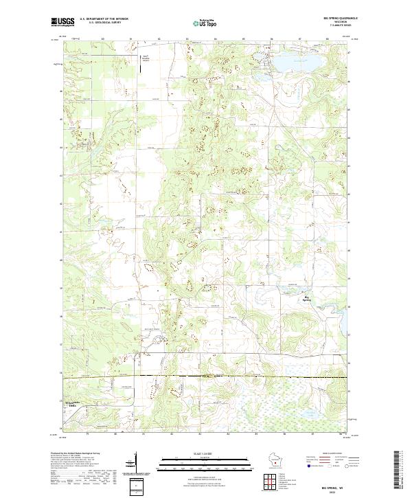 2022 Big Spring2022 Print · USGSThe rural borderlands of Adams and Columbia counties are captured here in a period of modern local development. Researchers can trace the water-carved landscape of Big Spring Creek and locate community landmarks like New Christ Church and Jordan Lake.
End of results
Showing maps 1-15 of 15
Top cities near Jackson
- Portage historical maps
- Lake Delton historical maps
- Wisconsin Dells historical maps
- Adams historical maps
- Town of Dell Prairie historical maps
- Dell Prairie historical maps
See more
Frequently asked questions
- What are the different types of historical maps available for Jackson?
- What is the oldest map of Jackson?
- Where can I purchase historical maps of Jackson for my home or office?
- Where can I download high-res historical maps of Jackson?
- Are there historical topographic maps available for Jackson?
- Is there historical aerial imagery available for Jackson?
- Where are historical maps of Jackson sourced from?