Old Maps of Gordon, Wisconsin for Metal Detecting
Plan your next treasure hunt with 36 historic maps of Gordon. Find old homesites, ghost towns, trails, and gathering spots that may be lost to time — perfect for identifying promising metal detecting locations.
- Locate forgotten sites: Uncover places like long-lost settlements, abandoned rail lines, or gathering spots.
- Plan better hunts: Use map overlays combined with LiDAR or satellite views to narrow in on historically rich areas.
- Made for detectorists: Thousands of hobbyists use these maps to discover relics, coins, and hidden history.
Use these historic maps to boost your research and find new opportunities beneath the surface of Gordon.
Gordon, WI maps
(36)- 1942 Map of Glidden, 1956 Print
 1942 Glidden1956 Print · USGSAshland and Iron counties come alive in the early 1940s, showing a landscape shaped by the Minneapolis St Paul and Sault Ste Marie RR and the Chequamegon National Forest. Genealogists can locate family landmarks like the Morse Cem or several rural schools, including the Peeksville Sch and Washington Sch.
 - 1942 Map of Clam Lake, 1959 Print
 1942 Clam Lake1959 Print · USGSNorthern Wisconsin's deep woods are captured here during the early 1940s, showing the early infrastructure of the Chequamegon National Forest. Researchers can locate the Clam Lake CCC Camp, the NYA Camp, and the Clam Lake Fire Tower among dozens of named lakes and streams.2 unique versions available
 - 1945 Map of Clam Lake
 1945 Clam Lake1945 Print · USGSThe Northwoods of Ashland and Bayfield Counties are captured here in the mid-1940s, centered on the Clam Lake community. Genealogists and historians can locate federal project sites like the Clam Lake CCC Camp and NYA Camp alongside the Clam Lake Fire Tower.2 unique versions available
 - 1945 Map of Glidden
 1945 Glidden1945 Print · USGSThe Northwoods of Ashland County during the mid-forties show a landscape defined by timber history and early highway travel. Researchers can trace the Soo Line rail corridor through Glidden or locate rural landmarks like Shanagolden and the Morse Cem.
 - 1953 Map of Ashland, 1964 Print
 1953 Ashland1964 Print · USGSNorthern Wisconsin's lakefront and timberlands are seen here in the mid-1950s, showing the intersection of industrial rail lines and vast wilderness. Genealogists and historians can trace the Soo Line through rail towns like Mellen or locate family roots in the Apostle Islands and Bad River Indian Reservation.3 unique versions available
 - 1958 Map of Ashland
 1958 Ashland1958 Print · USGSCoastal Wisconsin and the Michigan borderlands meet here in the late fifties, dominated by the timbered expanses and iron-rich ranges. Genealogists can trace family footprints in settlements like Odanah and Montreal, or locate landmarks such as the Coast Guard Station and Agricultural Experiment Station.
 - 1968 Map of Glidden, 1971 Print
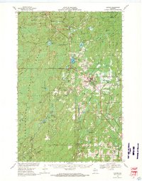 1968 Glidden1971 Print · USGSAshland and Iron County woods come to life in the late 1960s as the SOO LINE connects timber towns across a glacial landscape. Researchers can trace family roots at St Cecilia Cem or Morse Cem and locate vanished siding spots like Shanagolden and Popcorn Corners.
 - 1971 Map of Clam Lake NE, 1973 Print
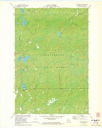 1971 Clam Lake NE1973 Print · USGSAshland County's timberlands and glacial lakes are captured here in the early 1970s, showing a landscape shaped by conservation and former industry. Researchers can trace the Old RR Grade or locate historic water features like Dead Horse Slough and Moquah Lake.
 - 1971 Map of Clam Lake, 1990 Print
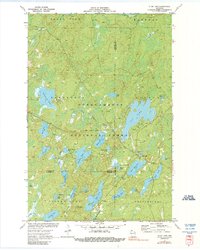 1971 Clam Lake1990 Print · USGSThe Northwoods of Ashland and Bayfield Counties come alive in this early 1970s survey of the lake-studded forestry landscape. Researchers can locate the Clam Lake Lookout Tower, trace burials at Wildwood Cem, and find the Job Corps Camp near Chippewa Lake.
 - 1980 Map of Ironwood
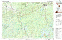 1980 Ironwood1980 Print · USGSThe Michigan-Wisconsin borderlands appear in the late twentieth century as a landscape defined by iron mining and deep forests. Researchers can trace the rail-and-river economy through the Soo Line and Chicago and North Western tracks connecting Mellen, Glidden, and Hurley.
 - 1984 Map of Morse
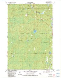 1984 Morse1984 Print · USGSAshland County's timberlands and river headwaters are captured here in the mid-1980s. Local researchers can trace the roads around Morse and Cayuga, find the Morse Cem, or locate the crossroads at Popcorn Corners.
 - 1984 Map of Glidden
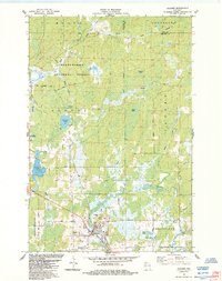 1984 Glidden1984 Print · USGSNorthern Wisconsin timber and river country are captured here in the mid-1980s. Local researchers can trace the roads around Glidden, locate the Mt Hope Cem, and explore the hydrology of Zielke Lake and the Bad River.
 - 2005 Map of Clam Lake, 2006 Print
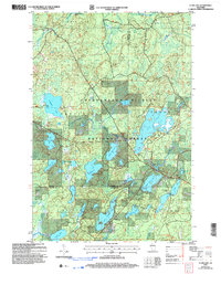 2005 Clam Lake2006 Print · USGSThe Northwoods around Clam Lake appear here in the early twenty-first century, showing a landscape defined by federal forest management and lakeside recreation. Researchers can trace local landmarks like Wildwood Cem, the Church of St George, and the Clam Lake Lookout.
 - 2005 Map of Glidden, 2006 Print
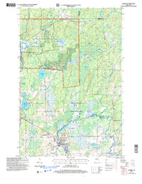 2005 Glidden2006 Print · USGSAshland County’s timber and river lands are shown in detail during the early 2000s, centered on the community of Glidden. Local researchers can locate the Mt Hope Cem, trace the course of the East Fork Chippewa River, and explore forest routes like Hannes Road.
 - 2005 Map of Morse, 2006 Print
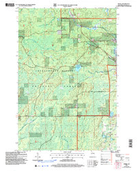 2005 Morse2006 Print · USGSIn the early 2000s, the Ashland County timberlands were a quiet expanse of national forest and small railroad settlements. Genealogists can locate the Morse Cem near the Soo Line, while map collectors can trace the Great Divide and the waters of Spillerberg Lake.
 - 2005 Map of Clam Lake NE, 2006 Print
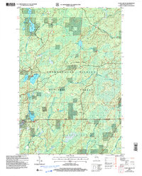 2005 Clam Lake NE2006 Print · USGSAshland County's north woods are captured here at the start of the millennium, showing a landscape defined by the Great Divide and deep timber. Researchers can trace the drainage of Spider Lake or find remote landmarks like Dead Horse Slough and Woodtick Lake.
 - 2011 Map of Clam Lake, 2011 Print
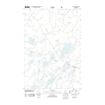 2011 Clam Lake2011 Print · USGSWisconsin's northern lake country is captured here during a period of modern forest management and lakeside recreation. Researchers can trace the layout of Clam Lake, locate the Wildwood Cemetery, or find the Little Clam Lake Seaplane Base near the water's edge.
 - 2011 Map of Clam Lake NE, 2011 Print
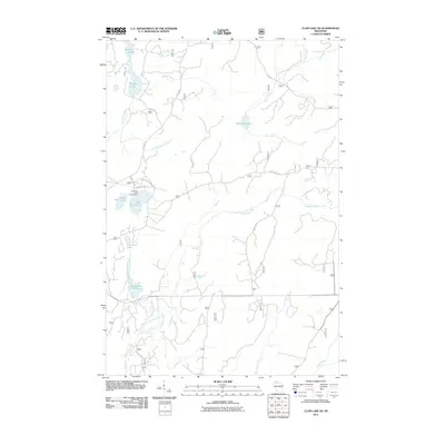 2011 Clam Lake NE2011 Print · USGSNorthern Wisconsin's lake country is captured here during the early twenty-first century, showing the dense network of forest roads and waterways. Researchers can trace the routes around East Twin Lake Campground or follow the paths of Dingdong Creek and the Brunsweiler River.
 - 2011 Map of Morse, 2011 Print
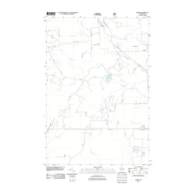 2011 Morse2011 Print · USGSNorthern Wisconsin forest lands and quiet settlements are documented here in the early twenty-first century. Researchers can locate the Morse Cemetery, trace the winding Bad River, and explore local junctions like Popcorn Corners and Cayuga.
 - 2011 Map of Glidden, 2011 Print
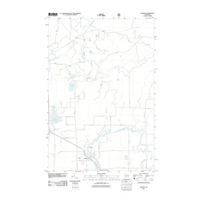 2011 Glidden2011 Print · USGSThe northern Wisconsin town of Glidden is depicted here in the early twenty-first century, centered on the East Fork Chippewa River. Researchers can trace local lineage through family-named routes and landmarks like Mount Hope Cemetery and Marian Park.
 - 2013 Map of Clam Lake NE, 2013 Print
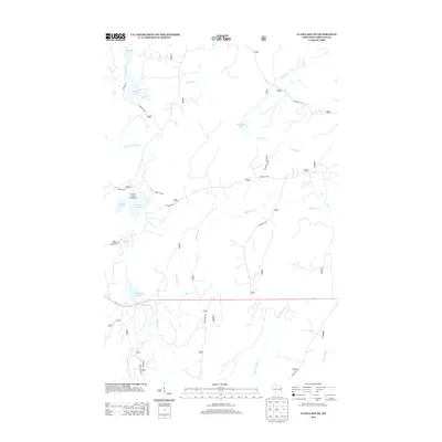 2013 Clam Lake NE2013 Print · USGSAshland County's north woods are documented here in the early twenty-first century, showing a landscape defined by glacial lakes and forest service corridors. Researchers can trace the remote drainage of Dingdong Cr or locate specific campsites like the East Twin Lake Campground.
 - 2013 Map of Glidden, 2013 Print
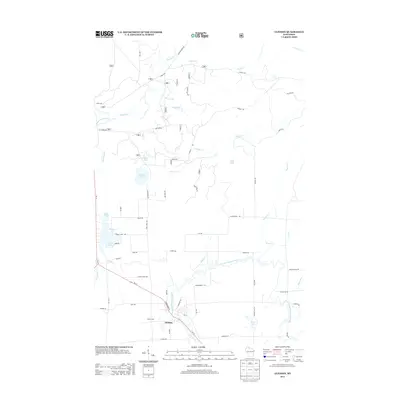 2013 Glidden2013 Print · USGSGlidden and the surrounding Ashland County woodlands are captured here in the early twenty-first century. Genealogists and local historians can trace family-named routes and landmarks near the East Fork Chippewa River, Summit Lake, and Marian Park.
 - 2013 Map of Morse, 2013 Print
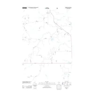 2013 Morse2013 Print · USGSAshland County's north woods are mapped here in the early twenty-first century, showing the forest and river systems surrounding the community of Morse. Researchers can trace the network of timber routes like Forest Rd 181 and find local landmarks such as Spillerberg Lake, Torrey Lake, and the small junction at Popcorn Corners.
 - 2013 Map of Clam Lake, 2013 Print
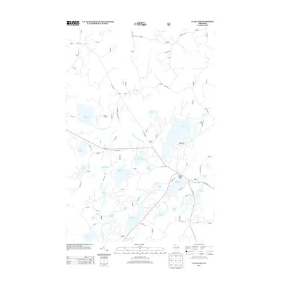 2013 Clam Lake2013 Print · USGSNorthern Wisconsin's lake country is captured here during the early twenty-first century, centered on the settlement of Clam Lake. Researchers can trace forest access roads and fishing landmarks like Muskie Springs Lake, Day Lake Campground, and the West Fork Chippewa River.
 - 2015 Map of Glidden, 2015 Print
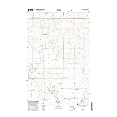 2015 Glidden2015 Print · USGSThe community of Glidden and its surrounding forests are captured here in the mid-2010s. Genealogists and local historians can trace the town's layout and find Mount Hope Cem, while outdoorsmen can map the wetlands around Meyer Lake and Summit Lake.
Showing maps 1-25 of 36
Top cities near Gordon
- Mellen historical maps
- Morse historical maps
- Marengo historical maps
- Saxon historical maps
- Draper historical maps
- Gurney historical maps
See more
Top neighborhoods of Gordon
Frequently asked questions
- What are the different types of historical maps available for Gordon?
- What is the oldest map of Gordon?
- Where can I purchase historical maps of Gordon for my home or office?
- Where can I download high-res historical maps of Gordon?
- Are there historical topographic maps available for Gordon?
- Is there historical aerial imagery available for Gordon?
- Where are historical maps of Gordon sourced from?