2000s (21st Century) Maps of Barron County, Wisconsin
Explore 150 historic maps of Barron County from the 2000s (21st Century). These maps offer a rare glimpse into what life looked like during the 2000s — showing old roads, neighborhoods, homes, and landmarks that have changed or disappeared over time.
Whether you're researching your family's past, planning a metal detecting trip, or studying how Barron County's landscape evolved across the 2000s, these high-resolution maps are a powerful tool for exploring the history of this region.
- Focus on a specific era: All maps on this page are from the 2000s, giving you a focused view of this time period.
- See what’s changed: Compare century-old streets, trails, and buildings to today's modern landscape using overlays and satellite layers.
- Research with precision: Use these maps for genealogy, historical research, land use analysis, or educational projects.
- View, download, or print: Maps are fully viewable online in high resolution, and can be downloaded or printed for your own records.
Start exploring Barron County's history through authentic maps from the 2000s. This is your window into the past.
Barron County, WI maps
(150)- 2010 Map of Cumberland, 2010 Print
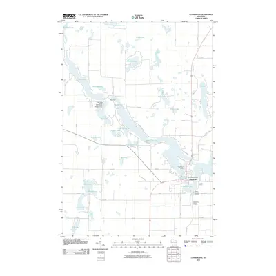 2010 Cumberland2010 Print · USGSIn the early twenty-first century, Cumberland remains a community defined by its island-like setting amidst Beaver Dam Lake. Researchers can trace local heritage at Lake Side Cemetery or locate civic landmarks like the Cumberland City Water Works.
 - 2010 Map of Indian Creek, 2010 Print
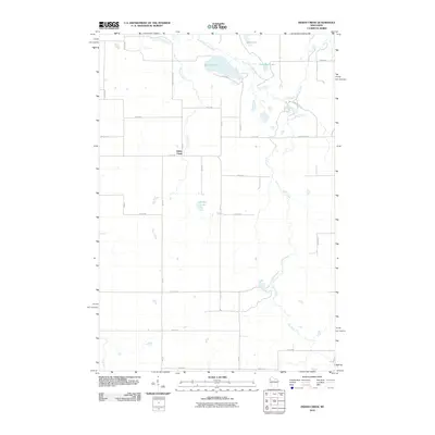 2010 Indian Creek2010 Print · USGSNorthwest Wisconsin's glacial lake country is revealed in the late two-thousands, showing a quiet landscape of rural homesteads and wetlands. Genealogists and locals can trace property lines along County Hwy EE and identify features near Spencer Lake, Denny Lake, and the winding Sand Creek.
 - 2010 Map of Timberland, 2010 Print
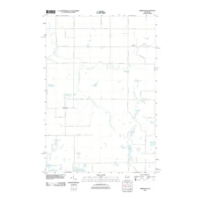 2010 Timberland2010 Print · USGSTimberland and the surrounding Wisconsin lake country are captured here in the early twenty-first century. Genealogists and researchers can trace local family roots through sites like the Clam River Cemetery or the roads near Peacock Lake and Lake Thirty Two.
 - 2010 Map of McKinley, 2010 Print
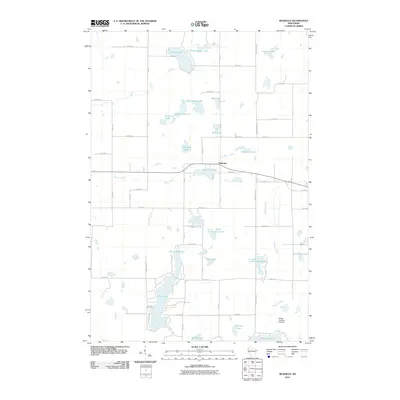 2010 McKinley2010 Print · USGSMcKinley and the surrounding lakelands of Polk County are captured here at the start of the decade. Genealogists and local historians can trace the rural road networks and lakeside properties near Pipe Lake, Largon Lake, and the small airfield at Morts Landing Airport.
 - 2010 Map of Clayton, 2010 Print
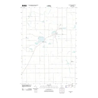 2010 Clayton2010 Print · USGSClayton and the surrounding Polk and Barron county line are depicted here in the early twenty-first century. Genealogists and local researchers can locate family sites at the Holy Trinity Russian Orthodox Cemetery or trace the geography of Joel, Richardson, and Magnor Lake.
 - 2010 Map of Arland, 2010 Print
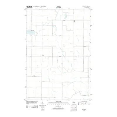 2010 Arland2010 Print · USGSBarron County is shown as a gridded agricultural landscape at the start of the 2010s. Local history researchers can pinpoint several community landmarks including Bethany Cemetery, Mount Hope Cemetery, and the village of Arland.
 - 2010 Map of Turtle Lake, 2010 Print
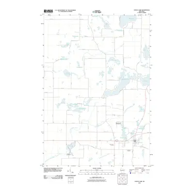 2010 Turtle Lake2010 Print · USGSWisconsin's glacial lake country is mapped here in the early twenty-first century as the village of Turtle Lake anchors a landscape of wetlands and water. Researchers can trace local heritage at Mount Hope Cemetery or follow the legacy of water power at Old Mill Pond and Beaver Brook Dam.
 - 2010 Map of Almena, 2010 Print
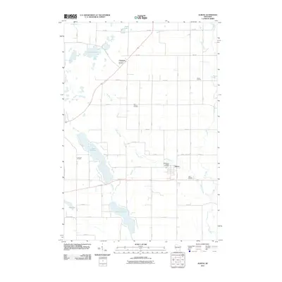 2010 Almena2010 Print · USGSBarron County agricultural and lake lands are frozen in time just after the turn of the millennium. Researchers can trace family history through numerous local sites like Comstock Cemetery, Lake View Cemetery, and Saint Matthew Cemetery near the village of Almena.
 - 2010 Map of Connorsville, 2010 Print
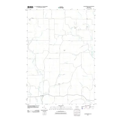 2010 Connorsville2010 Print · USGSWestern Barron County remains a quiet agricultural landscape of creek valleys and crossroads in the early twenty-first century. Genealogists and local historians can trace early settlement patterns through Reeve Cemetery, Solum Cemetery, and the hamlet of Connorsville.
 - 2010 Map of Graytown, 2010 Print
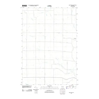 2010 Graytown2010 Print · USGSNorthwestern Wisconsin’s rural landscape is captured here at the start of the decade, centered on the small settlement of Graytown. Researchers can trace old property boundaries and drainage patterns along the Willow River, Wolf Creek, and Bolen Creek.
 - 2010 Map of Barron, 2010 Print
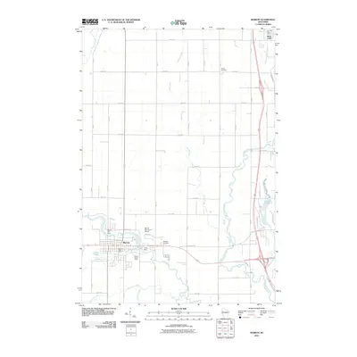 2010 Barron2010 Print · USGSThe city of Barron is captured here in the early twenty-first century at the junction of the Yellow River and Quaderer Creek. Researchers can trace civic landmarks like the Barron Municipal Airport or locate family sites at Swede Cemetery and Wayside Cemetery.
 - 2010 Map of Ridgeland NE, 2010 Print
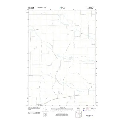 2010 Ridgeland NE2010 Print · USGSNorthwestern Wisconsin farm country is captured here during the first decade of the 2000s, showing a well-ordered landscape of rural township roads and creek valleys. Genealogists can locate family sites near Greenwood Cemetery, Evergreen Cemetery, or along the banks of Upper Pine Creek.
 - 2010 Map of New Auburn, 2010 Print
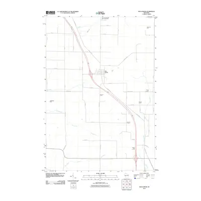 2010 New Auburn2010 Print · USGSThe village of New Auburn and its surrounding farmstead grid are captured here in the early twenty-first century. Genealogists and local historians can locate several rural burial sites, such as Marquardt Cemetery and Pleasant Valley Cemetery, alongside landmarks like Old Maids Bluff.
 - 2010 Map of Moose Ear Lake, 2010 Print
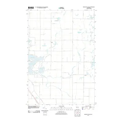 2010 Moose Ear Lake2010 Print · USGSBarron County is shown in detail during the early twenty-first century, featuring the intricate chain of lakes east of Chetek. Genealogists and local historians can pinpoint the Johnson Cemetery, the Eyk E2980 Dam, and the winding path of Moose Ear Creek.
 - 2010 Map of Ridgeland, 2010 Print
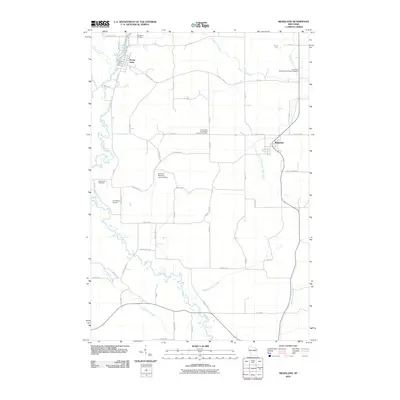 2010 Ridgeland2010 Print · USGSPrairie Farm and Ridgeland appear at a time when this Wisconsin landscape is defined by its river systems and rural road grids. Genealogists and local researchers can trace family landmarks like Evergreen Cemetery or the Prairie Farm Dam and Washburn Farm Creek area.
 - 2010 Map of Haugen, 2010 Print
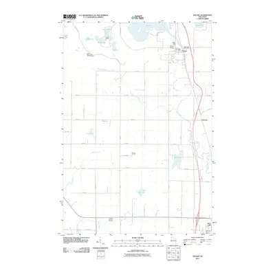 2010 Haugen2010 Print · USGSThe village of Haugen and its surrounding glacial lakes are captured here in the early twenty-first century. Genealogists and local historians can trace family plots at the Bohemian National Cemetery or locate the site of the Haugen Post Office.
 - 2010 Map of Strickland, 2010 Print
 2010 Strickland2010 Print · USGSBarron County’s rural landscape is shown in detail during the early twenty-first century, centered on the small communities of Strickland and Lehigh. Genealogists and researchers can locate Assumption Cemetery and trace the paths of Moose Ear Creek and Rock Creek.
 - 2010 Map of Lower Vermillion Lake, 2010 Print
 2010 Lower Vermillion Lake2010 Print · USGSBarron County is shown in detail at the beginning of the twenty-first century, featuring a dense network of glacial lakes and the winding Yellow River. Researchers can locate family sites near East Cumberland Cemetery or trace the geography of local landmarks like Rainbow Ranch Camp and Grant Park.
 - 2010 Map of Sand Creek, 2010 Print
 2010 Sand Creek2010 Print · USGSDunn County at the start of the 2010s shows a landscape of river-valley settlements and quiet rural crossroads. Genealogists and local historians can trace family locations through several landmark burial sites like Zion Cemetery and Myron Cemetery.
 - 2010 Map of Dorrity Creek, 2010 Print
 2010 Dorrity Creek2010 Print · USGSBarron County is captured in this 2010 survey as a landscape of structured rural sections and winding waterways like Dorrity Creek. Researchers can trace local heritage and early land boundaries through sites like Glenwood Cemetery and the Miller G877 19 Dam.
 - 2010 Map of Rice Lake North, 2010 Print
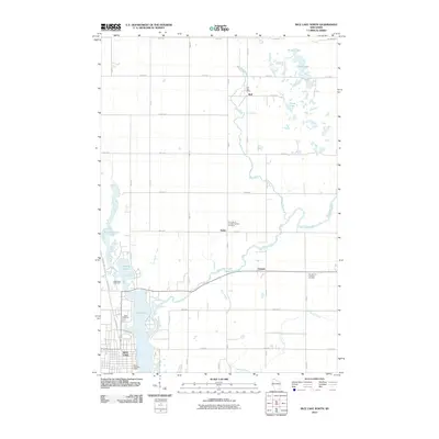 2010 Rice Lake North2010 Print · USGSNorthern Wisconsin lake country is captured here during a period of steady rural growth. Genealogists can locate family plots at Nora Cemetery or Our Saviors Lutheran Cemetery while tracing the waters of the Brill River.
 - 2010 Map of Dallas, 2010 Print
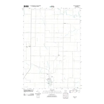 2010 Dallas2010 Print · USGSBarron County is captured here in the early twenty-first century, showing a rural landscape anchored by the village of Dallas. Genealogists and historians can locate several burial sites including Old Hillsdale Cemetery and New Scandinavia Cemetery, or trace the Upper Pine Creek to the Anderson Dam.
 - 2010 Map of Rice Lake South, 2010 Print
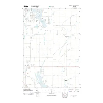 2010 Rice Lake South2010 Print · USGSThe Rice Lake and Cameron areas of Barron County are shown here at the start of the decade, following the winding Red Cedar River. Genealogists can locate family sites at Pioneer Rest Cemetery, Faaberg Cemetery, and along Prairie Lake.
 - 2010 Map of Birchwood, 2010 Print
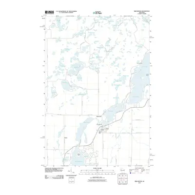 2010 Birchwood2010 Print · USGSBirchwood and its surrounding lake country are captured in this 2010 survey, showcasing the village at the junction of Sawyer and Washburn counties. Local historians and genealogists can pinpoint Woodlawn Cemetery, the Birch Lake Dam, and the small community of Angus.
 - 2010 Map of Poskin, 2010 Print
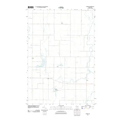 2010 Poskin2010 Print · USGSBarron County's rural landscape at the start of the decade is mapped here, showing a community structured by its rivers and a traditional road grid. Genealogists and local historians can locate early burial sites like Ebenezer Cemetery and Poskin Cemetery or trace the Vermillion River through the heart of Poskin.
Showing maps 1-25 of 150
Top cities of Barron County
- Rice Lake historical maps
- Barron historical maps
- Cumberland historical maps
- Chetek historical maps
- Cameron historical maps
- Almena historical maps
See more
Frequently asked questions
- What are the different types of historical maps available for Barron County?
- What is the oldest map of Barron County?
- Where can I purchase historical maps of Barron County for my home or office?
- Where can I download high-res historical maps of Barron County?
- Are there historical topographic maps available for Barron County?
- Is there historical aerial imagery available for Barron County?
- Where are historical maps of Barron County sourced from?