Old Maps of Cedar Lake, Wisconsin for Academic Research
Study the evolution of Cedar Lake with 30 high-resolution historic maps. Whether you're teaching, researching, or modeling changes in land use, these maps provide essential visual documentation of urban, environmental, and geographic change.
- Analyze long-term change: Track patterns in development, transportation, and natural features.
- Ideal for environmental or urban studies: Support academic projects with primary historical map data.
- Use in the classroom or lab: Educators and researchers rely on these maps to bring historical context to life.
These maps are a powerful tool for teaching, research, and visualizing how Cedar Lake has changed over the decades.
Cedar Lake, WI maps
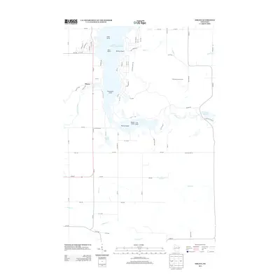
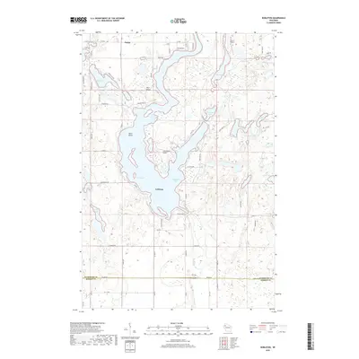
(30)- 1949 Map of Rice Lake, 1961 Print
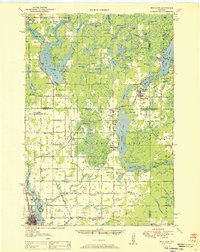
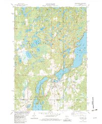
 1949 Rice Lake1961 Print · USGSIn the Wisconsin Northwoods after the war, the lakeside communities and rural schools of Barron and Washburn counties remained tightly knit. Genealogists can find family landmarks like Loveland Corners, Evergreen Ch, and the many rural schools including Lincoln Sch.
 - 1951 Map of Rice Lake
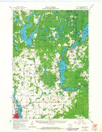
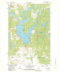
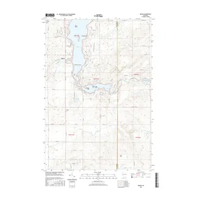
 1951 Rice Lake1951 Print · USGSNorthwest Wisconsin’s lake country is captured in the early fifties, showing the transition from rail-dependent commerce to modern aviation. Researchers can trace dozens of country schoolhouses like Pioneer Sch and Lincoln Sch, or locate the Rice Lake Municipal Airport.
 - 1953 Map of Rice Lake, 1967 Print
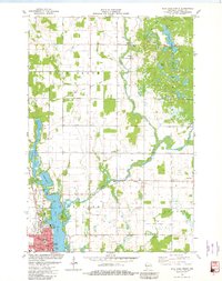
 1953 Rice Lake1967 Print · USGSNorthwest Wisconsin during the mid-fifties reveals a landscape defined by timber, rail, and water. Genealogists and historians can trace the development of river towns like Ladysmith and Rice Lake along the Soo Line and Chicago and North Western railroads.2 unique versions available
 - 1959 Map of Rice Lake
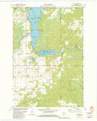
 1959 Rice Lake1959 Print · USGSNorthwest Wisconsin in the late fifties was a land of expanding road networks and deep-seated timber history. Genealogists and historians can trace rail lines like the Soo Line RR and Chicago St Paul Minneapolis and Omaha Ry as they link settlements from Spooner to Medford.
 - 1965 Map of Rice Lake, 1967 Print
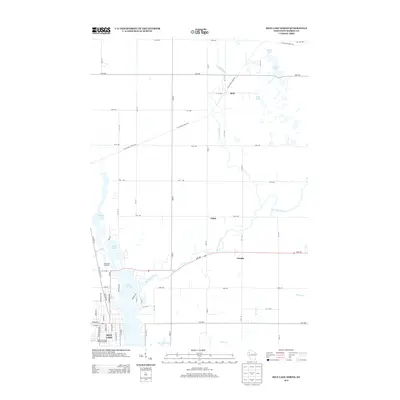
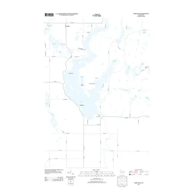
 1965 Rice Lake1967 Print · USGSThe lake country of Barron and Washburn counties is shown here in the mid-1960s, a landscape of interconnected waterways and rural townships. Genealogists and local historians can trace legacy sites like the Oak Grove Center Sch, Evergreen Cem, and the settlement at Mikana.
 - 1980 Map of Spooner
 1980 Spooner1980 Print · USGSNorthwestern Wisconsin at the dawn of the eighties reveals a landscape of deep forests and transitioning rail corridors. Genealogists and historians can trace lakefront settlements like Spooner and Birchwood or follow the early Tuscobia-Park Falls State Trail.
 - 1981 Map of Rice Lake North, 1982 Print
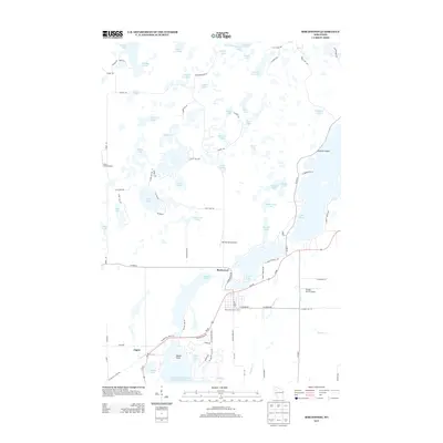
 1981 Rice Lake North1982 Print · USGSBarron County in the early eighties shows a transition from a rail-centered economy to a recreation-focused landscape. Genealogists and local historians can locate Nora Cem, the Indian Mound Park, and the historic tracks of the Chicago and North Western.
 - 1981 Map of Mikana, 1982 Print
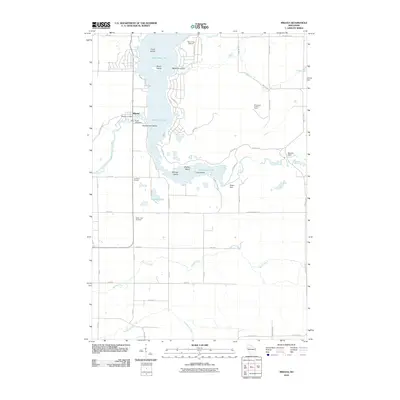
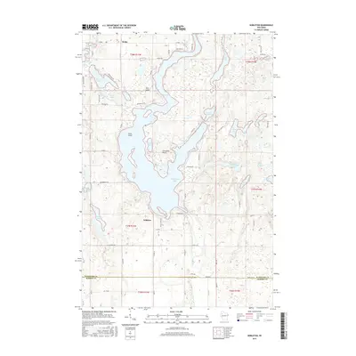
 1981 Mikana1982 Print · USGSBarron County's lake district is documented here in the early eighties as rail corridors transitioned into recreational trails. Genealogists and local researchers can locate Mikana, the Immanuel Ch, and family-named landmarks like Stout Island.
 - 1982 Map of Birchwood
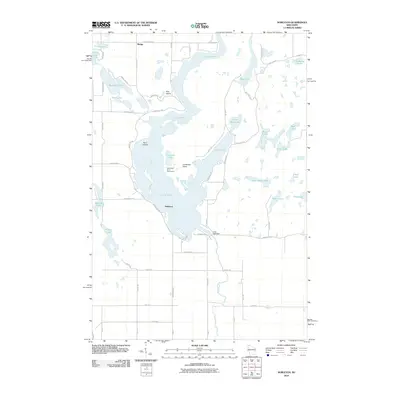
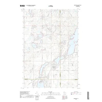
 1982 Birchwood1982 Print · USGSThe village of Birchwood stands at a three-county junction in the early 1980s, surrounded by a labyrinth of glacial lakes. Researchers can trace local landmarks like Woodlawn Cem, the Tuscobia Parkway State Trail, and Stouts Point on Red Cedar Lake.
 - 1982 Map of Nobleton
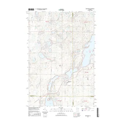
 1982 Nobleton1982 Print · USGSWashburn and Barron counties are shown in the early eighties during a peak era of lakeside recreation and rural settlement. Researchers can trace family sites near Nobleton, the Tomahawk Scout Reservation, and the Long Lake Cem.
 - 2010 Map of Rice Lake North, 2010 Print
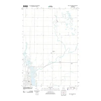 2010 Rice Lake North2010 Print · USGSCovers Cedar Lake, including Rice Lake, Oak Grove, and other nearby areas
 - 2010 Map of Birchwood, 2010 Print
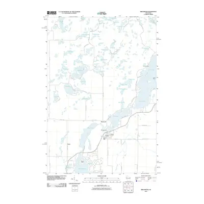 2010 Birchwood2010 Print · USGSCovers Cedar Lake, including Edgewater, Birchwood, and other nearby areas
 - 2010 Map of Nobleton, 2010 Print
 2010 Nobleton2010 Print · USGSCovers Cedar Lake, including Madge, Oak Grove, and other nearby areas
 - 2010 Map of Mikana, 2010 Print
 2010 Mikana2010 Print · USGSCovers Cedar Lake, including Wilson, Doyle, and other nearby areas
 - 2013 Map of Birchwood, 2013 Print
 2013 Birchwood2013 Print · USGSCovers Cedar Lake, including Edgewater, Birchwood, and other nearby areas
 - 2013 Map of Rice Lake North, 2013 Print
 2013 Rice Lake North2013 Print · USGSCovers Cedar Lake, including Rice Lake, Oak Grove, and other nearby areas
 - 2013 Map of Mikana, 2013 Print
 2013 Mikana2013 Print · USGSCovers Cedar Lake, including Wilson, Doyle, and other nearby areas
 - 2013 Map of Nobleton, 2013 Print
 2013 Nobleton2013 Print · USGSCovers Cedar Lake, including Madge, Oak Grove, and other nearby areas
 - 2015 Map of Mikana, 2015 Print
 2015 Mikana2015 Print · USGSCovers Cedar Lake, including Wilson, Doyle, and other nearby areas
 - 2015 Map of Rice Lake North, 2015 Print
 2015 Rice Lake North2015 Print · USGSCovers Cedar Lake, including Rice Lake, Oak Grove, and other nearby areas
 - 2015 Map of Birchwood, 2015 Print
 2015 Birchwood2015 Print · USGSCovers Cedar Lake, including Edgewater, Birchwood, and other nearby areas
 - 2015 Map of Nobleton, 2015 Print
 2015 Nobleton2015 Print · USGSCovers Cedar Lake, including Madge, Oak Grove, and other nearby areas
 - 2018 Map of Mikana, 2018 Print
 2018 Mikana2018 Print · USGSCovers Cedar Lake, including Wilson, Doyle, and other nearby areas
 - 2018 Map of Birchwood, 2018 Print
 2018 Birchwood2018 Print · USGSCovers Cedar Lake, including Edgewater, Birchwood, and other nearby areas
 - 2018 Map of Nobleton, 2018 Print
 2018 Nobleton2018 Print · USGSCovers Cedar Lake, including Madge, Oak Grove, and other nearby areas
Showing maps 1-25 of 30
Top cities near Cedar Lake
- Rice Lake historical maps
- Barron historical maps
- Cameron historical maps
- Beaver Brook historical maps
- Sumner historical maps
- Edgewater historical maps
See more
Top neighborhoods of Cedar Lake
Frequently asked questions
- What are the different types of historical maps available for Cedar Lake?
- What is the oldest map of Cedar Lake?
- Where can I purchase historical maps of Cedar Lake for my home or office?
- Where can I download high-res historical maps of Cedar Lake?
- Are there historical topographic maps available for Cedar Lake?
- Is there historical aerial imagery available for Cedar Lake?
- Where are historical maps of Cedar Lake sourced from?