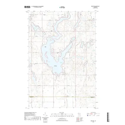
2018 Map of Nobleton
USGS Topo · Published 2018About this map
Long Lake dominates the central landscape of this northern Wisconsin survey, its winding shoreline and major reaches like Gruenhagen Bay defining the character of the Nobleton vicinity. The terrain is a complex network of glacial kettle lakes and wetlands, including Big Devil Lake, Loon Lake, and several smaller basins like Pollywog Lake and Little Mud Lake. The small community of Madge sits in the northern section, surrounded by a grid of rural roads that navigate the water-logged topography. To the south, the Washburn Co and Barron Co line is marked by Town Line RD, where the headwaters of the Brill River begin their descent. This 2018 edition reveals the modern layout of local transport and land divisions, noting features from the small Drew 9 Airport to named landmarks like Rice Island and Christiana Point.
Find a feature on this map
67 named features on this map. Tap any name to fly to it.
Don’t see what you’re looking for? This feature index may not catch every label — zoom into the map to look around manually.
Map Details
Editions of this 2018 Nobleton Map
This is the sole edition of this map. No revisions or reprints were ever made.
Other maps of this area

1948 · Spooner
USGS Topo · 1:48,000

1948 · Stone Lake
USGS Topo · 1:48,000

1949 · Spooner
USGS Topo · 1:48,000

1949 · Rice Lake
USGS Topo · 1:48,000

1950 · Stone Lake
USGS Topo · 1:48,000

1951 · Shell Lake
USGS Topo · 1:48,000

1951 · Rice Lake
USGS Topo · 1:48,000

1953 · Rice Lake
USGS Topo · 1:250,000

1959 · Rice Lake
USGS Topo · 1:250,000

1965 · Rice Lake
USGS Topo · 1:62,500