Old Maps of Cornucopia, Bell
Explore 13 old maps of Cornucopia, spanning from 1944 to today. These high-resolution historic maps reveal how streets, neighborhoods, landmarks, and natural features evolved over time — perfect for genealogy, metal detecting, research, and local history exploration.
What you can do with these maps:
- See how Cornucopia changed over time: Compare historical maps to modern-day views to trace roads, homesites, rail lines & more.
- View detailed metadata: Each map includes creators, publishers, year, scale, and archive source.
- Overlay maps with satellite & LiDAR: Visualize the past alongside modern tools to explore terrain & human change.
- Trusted historical sources: Maps sourced from the USGS, Library of Congress, and other archives.
- Access maps your way: View online, download high-res files, or order prints for personal or research use.
Start exploring old maps of Cornucopia to uncover forgotten places, hidden landmarks, and the deep history beneath your feet.
Cornucopia, Bell maps
(13)- 1944 Map of Cornucopia, 1952 Print
 1944 Cornucopia1952 Print · USGSThe Lake Superior shoreline near Cornucopia is shown here during the 1940s as a hub for coastal settlement and forest access. Genealogists can locate family landmarks like St Anthony Ch, Settlement Sch, and the docks of Cornucopia.
 - 1946 Map of Cornucopia
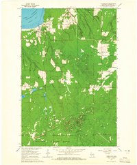
 1946 Cornucopia1946 Print · USGSThe northern reaches of Bayfield County are captured here in the mid-1940s, highlighting the coastal community of Cornucopia. Researchers can trace old rural landmarks like the Settlement Sch, St Anthony Ch, and the numerous inlets of Bark Bay.
 - 1953 Map of Ashland, 1964 Print
 1953 Ashland1964 Print · USGSNorthern Wisconsin's lakefront and timberlands are seen here in the mid-1950s, showing the intersection of industrial rail lines and vast wilderness. Genealogists and historians can trace the Soo Line through rail towns like Mellen or locate family roots in the Apostle Islands and Bad River Indian Reservation.3 unique versions available
 - 1958 Map of Ashland
 1958 Ashland1958 Print · USGSCoastal Wisconsin and the Michigan borderlands meet here in the late fifties, dominated by the timbered expanses and iron-rich ranges. Genealogists can trace family footprints in settlements like Odanah and Montreal, or locate landmarks such as the Coast Guard Station and Agricultural Experiment Station.
 - 1964 Map of Cornucopia, 1965 Print
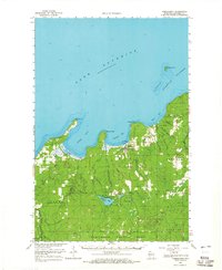
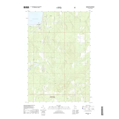
 1964 Cornucopia1965 Print · USGSThe Lake Superior shoreline at the height of the mid-sixties reveals the remote settlement of Cornucopia and its maritime connection to Siskiwit Bay. Researchers can trace the rural footprint of Bell township through sites like the Bell Cem and St Anthony Ch.3 unique versions available
 - 1964 Map of Cornucopia, 1965 Print
 1964 Cornucopia1965 Print · USGSThe Bayfield County shoreline meets the Apostle Islands in the mid-1960s, showing the quiet transition from working lakefront to deep forest. Local historians can trace the foundations of Cornucopia and locate rural landmarks like St Anthony Ch and Herbster Cem.
 - 1980 Map of Port Wing
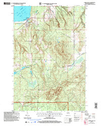
 1980 Port Wing1980 Print · USGSThe Lake Superior shoreline and the deep forests of Bayfield and Douglas counties are captured here in the early eighties. Genealogists and historians can trace the rail lines through Iron River or locate the lakeside landings at Cornucopia and Port Wing.
 - 2005 Map of Cornucopia, 2006 Print
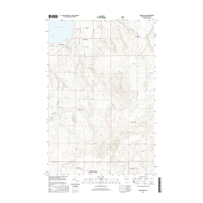
 2005 Cornucopia2006 Print · USGSCornucopia and the rugged shores of the Bayfield Peninsula are captured here in the early twenty-first century. Genealogists and historians can locate the Bell Cem, St Anthony Ch, and old harbor landmarks along Siskiwit Bay.
 - 2011 Map of Cornucopia, 2011 Print
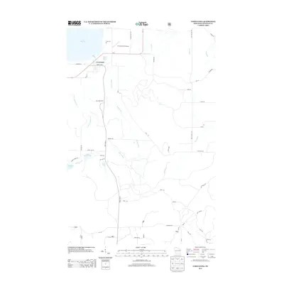
 2011 Cornucopia2011 Print · USGSCovers Cornucopia, including Bell, Bayfield, and other nearby areas
 - 2013 Map of Cornucopia, 2013 Print
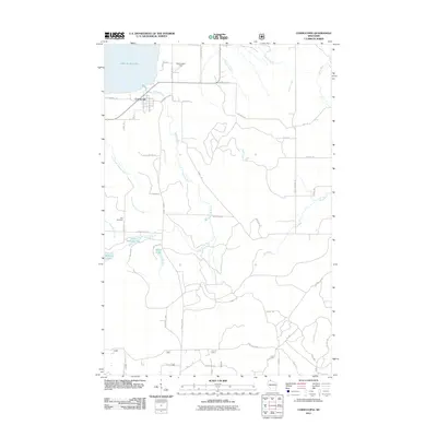
 2013 Cornucopia2013 Print · USGSCovers Cornucopia, including Bell, Bayfield, and other nearby areas
 - 2015 Map of Cornucopia, 2015 Print
 2015 Cornucopia2015 Print · USGSCovers Cornucopia, including Bell, Bayfield, and other nearby areas
 - 2018 Map of Cornucopia, 2018 Print
 2018 Cornucopia2018 Print · USGSCovers Cornucopia, including Bell, Bayfield, and other nearby areas
 - 2023 Map of Cornucopia, 2023 Print
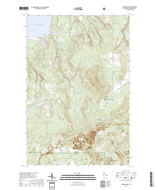 2023 Cornucopia2023 Print · USGSThe tip of the Bayfield Peninsula in the early 2020s shows a quiet landscape of harbor life and deep woods at the edge of Lake Superior. Genealogists can locate family landmarks like the Belanger Settlement Cem and the George D Jones Junior Memorial Cem.
End of results
Showing maps 1-13 of 13
Top cities near Cornucopia
Frequently asked questions
- What are the different types of historical maps available for Cornucopia?
- What is the oldest map of Cornucopia?
- Where can I purchase historical maps of Cornucopia for my home or office?
- Where can I download high-res historical maps of Cornucopia?
- Are there historical topographic maps available for Cornucopia?
- Is there historical aerial imagery available for Cornucopia?
- Where are historical maps of Cornucopia sourced from?