2000s (21st Century) Maps of Cornucopia, Bell
Explore 6 historic maps of Cornucopia from the 2000s (21st Century). These maps offer a rare glimpse into what life looked like during the 2000s — showing old roads, neighborhoods, homes, and landmarks that have changed or disappeared over time.
Whether you're researching your family's past, planning a metal detecting trip, or studying how Cornucopia's landscape evolved across the 2000s, these high-resolution maps are a powerful tool for exploring the history of this region.
- Focus on a specific era: All maps on this page are from the 2000s, giving you a focused view of this time period.
- See what’s changed: Compare century-old streets, trails, and buildings to today's modern landscape using overlays and satellite layers.
- Research with precision: Use these maps for genealogy, historical research, land use analysis, or educational projects.
- View, download, or print: Maps are fully viewable online in high resolution, and can be downloaded or printed for your own records.
Start exploring Cornucopia's history through authentic maps from the 2000s. This is your window into the past.
Cornucopia, Bell maps
(6)- 2005 Map of Cornucopia, 2006 Print
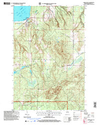 2005 Cornucopia2006 Print · USGSCornucopia and the rugged shores of the Bayfield Peninsula are captured here in the early twenty-first century. Genealogists and historians can locate the Bell Cem, St Anthony Ch, and old harbor landmarks along Siskiwit Bay.
 - 2011 Map of Cornucopia, 2011 Print
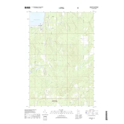
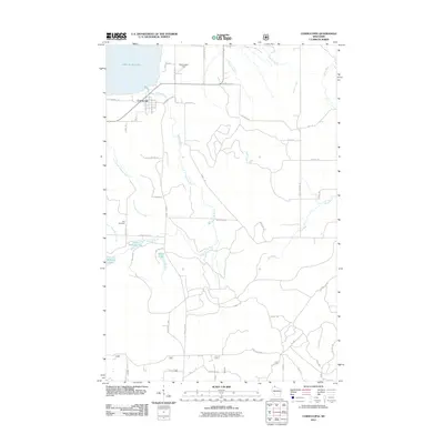 2011 Cornucopia2011 Print · USGSCovers Cornucopia, including Bell, Bayfield, and other nearby areas
 - 2013 Map of Cornucopia, 2013 Print
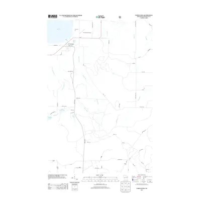 2013 Cornucopia2013 Print · USGSCovers Cornucopia, including Bell, Bayfield, and other nearby areas
 - 2015 Map of Cornucopia, 2015 Print
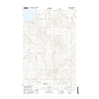 2015 Cornucopia2015 Print · USGSCovers Cornucopia, including Bell, Bayfield, and other nearby areas
 - 2018 Map of Cornucopia, 2018 Print
 2018 Cornucopia2018 Print · USGSCovers Cornucopia, including Bell, Bayfield, and other nearby areas
 - 2023 Map of Cornucopia, 2023 Print
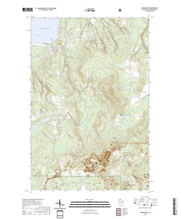 2023 Cornucopia2023 Print · USGSThe tip of the Bayfield Peninsula in the early 2020s shows a quiet landscape of harbor life and deep woods at the edge of Lake Superior. Genealogists can locate family landmarks like the Belanger Settlement Cem and the George D Jones Junior Memorial Cem.
End of results
Showing maps 1-6 of 6
Top cities near Cornucopia
Frequently asked questions
- What are the different types of historical maps available for Cornucopia?
- What is the oldest map of Cornucopia?
- Where can I purchase historical maps of Cornucopia for my home or office?
- Where can I download high-res historical maps of Cornucopia?
- Are there historical topographic maps available for Cornucopia?
- Is there historical aerial imagery available for Cornucopia?
- Where are historical maps of Cornucopia sourced from?