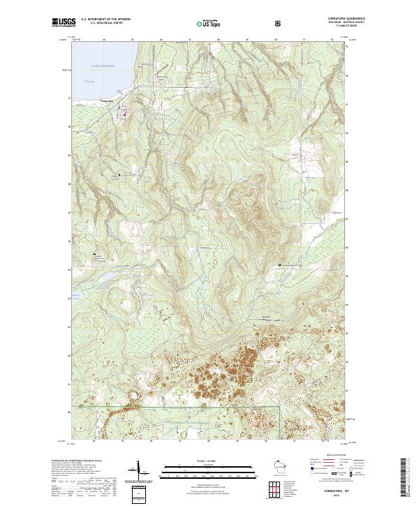
2023 Map of Cornucopia
USGS Topo · Published 2023About this map
Cornucopia sits at the northern edge of the Bayfield Peninsula, where the Siskiwit River meets the waters of Lake Superior at Siskiwit Bay. This 2023 survey illustrates a landscape of dense forest and glacial hydrology, with Siskiwit Lake and Little Siskiwit Lake forming a central cluster of water bodies. The settlement is connected to the interior via a network of forest roads and historic routes like Old Hwy 13 and Star Route Rd.
Find a feature on this map
56 named features on this map. Tap any name to fly to it.
Don’t see what you’re looking for? This feature index may not catch every label — zoom into the map to look around manually.
Map Details
Editions of this 2023 Cornucopia Map
This is the sole edition of this map. No revisions or reprints were ever made.
Other maps of this area

1941 · Bayfield
USGS Topo · 1:48,000

1942 · Ashland
USGS Topo · 1:48,000

1944 · Moquah
USGS Topo · 1:48,000

1944 · Cornucopia
USGS Topo · 1:48,000

1946 · Cornucopia
USGS Topo · 1:48,000

1946 · Bayfield
USGS Topo · 1:48,000

1947 · Moquah
USGS Topo · 1:48,000

1947 · Ashland
USGS Topo · 1:48,000

1953 · Ashland
USGS Topo · 1:250,000

1958 · Ashland
USGS Topo · 1:250,000