2020s Maps of Kelly, Wisconsin
Explore 4 historic maps of Kelly from the 2020s. These maps offer a rare glimpse into what life looked like during the 2020s — showing old roads, neighborhoods, homes, and landmarks that have changed or disappeared over time.
Whether you're researching your family's past, planning a metal detecting trip, or studying how Kelly's landscape evolved across the 2020s, these high-resolution maps are a powerful tool for exploring the history of this region.
- Focus on a specific era: All maps on this page are from the 2020s, giving you a focused view of this time period.
- See what’s changed: Compare century-old streets, trails, and buildings to today's modern landscape using overlays and satellite layers.
- Research with precision: Use these maps for genealogy, historical research, land use analysis, or educational projects.
- View, download, or print: Maps are fully viewable online in high resolution, and can be downloaded or printed for your own records.
Start exploring Kelly's history through authentic maps from the 2020s. This is your window into the past.
Kelly, WI maps
(4)- 2022 Map of Mason, 2022 Print
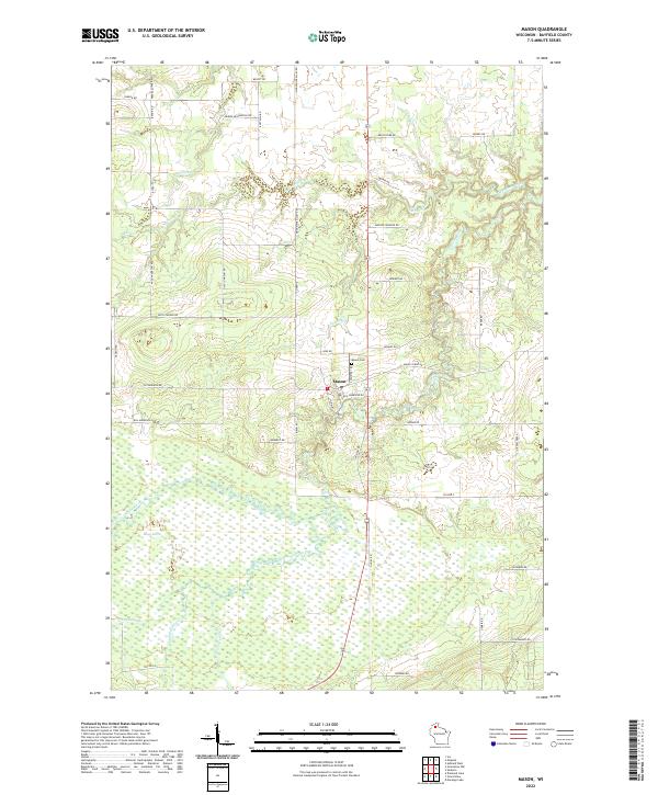 2022 Mason2022 Print · USGSMason and the surrounding Bayfield County wetlands are documented here in the early twenty-first century. Researchers can trace family-named landmarks like Adolph Johnson Rd, locate the Mason Cemetery, and study the vast Bibon Marsh.
 - 2022 Map of Sanborn, 2022 Print
 2022 Sanborn2022 Print · USGSThe borderlands of Bayfield and Ashland counties come into focus in this recent survey of the Northwoods. Genealogists can trace family names on rural routes and locate landmarks like Saint Anne Catholic Cem and the Moe Cem.
 - 2022 Map of Moquah, 2022 Print
 2022 Moquah2022 Print · USGSBayfield County's timber and farming country is captured here in the early twenty-first century as the landscape transitions into the national forest. Genealogists and local historians can locate several burial grounds including Moquah National Cemetery and Saint Peters Cemetery near the crossroads of Moquah and Benoit.
 - 2022 Map of Ashland West, 2022 Print
 2022 Ashland West2022 Print · USGSCoastal Wisconsin at the edge of Lake Superior reveals a landscape of protected wetlands and civic hubs. Researchers can trace the layout of Ashland alongside the Whittlesey Creek National Wildlife Refuge and Mount Hope Cem.
End of results
Showing maps 1-4 of 4
Top cities near Kelly
- Ashland historical maps
- Washburn historical maps
- Sanborn historical maps
- White River historical maps
- Cable historical maps
- Drummond historical maps
See more
Frequently asked questions
- What are the different types of historical maps available for Kelly?
- What is the oldest map of Kelly?
- Where can I purchase historical maps of Kelly for my home or office?
- Where can I download high-res historical maps of Kelly?
- Are there historical topographic maps available for Kelly?
- Is there historical aerial imagery available for Kelly?
- Where are historical maps of Kelly sourced from?