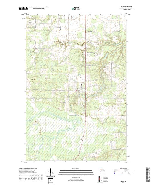
2022 Map of Mason
USGS Topo · Published 2022About this map
The village of Mason serves as the central hub of this northern Wisconsin landscape, situated where the White River meets a network of vital local roads. This area of Bayfield County is characterized by its extensive wetland systems, most notably the Bibon Marsh which dominates the southern half of the quadrangle. This expansive wetland environment is fed by several watercourses including the Long Lake Branch and Eightmile Creek, creating a distinct hydrologic pattern that has shaped the settlement and transportation routes of the region.
Find a feature on this map
52 named features on this map. Tap any name to fly to it.
Don’t see what you’re looking for? This feature index may not catch every label — zoom into the map to look around manually.
Map Details
Editions of this 2022 Mason Map
This is the sole edition of this map. No revisions or reprints were ever made.
Other maps of this area

1942 · Ashland
USGS Topo · 1:48,000

1942 · Marengo
USGS Topo · 1:48,000

1944 · Moquah
USGS Topo · 1:48,000

1944 · Grandview
USGS Topo · 1:48,000

1945 · Marengo
USGS Topo · 1:48,000

1947 · Moquah
USGS Topo · 1:48,000

1947 · Ashland
USGS Topo · 1:48,000

1947 · Grandview
USGS Topo · 1:48,000

1953 · Ashland
USGS Topo · 1:250,000

1958 · Ashland
USGS Topo · 1:250,000