2000s (21st Century) Maps of Washburn, Wisconsin
Explore 23 historic maps of Washburn from the 2000s (21st Century). These maps offer a rare glimpse into what life looked like during the 2000s — showing old roads, neighborhoods, homes, and landmarks that have changed or disappeared over time.
Whether you're researching your family's past, planning a metal detecting trip, or studying how Washburn's landscape evolved across the 2000s, these high-resolution maps are a powerful tool for exploring the history of this region.
- Focus on a specific era: All maps on this page are from the 2000s, giving you a focused view of this time period.
- See what’s changed: Compare century-old streets, trails, and buildings to today's modern landscape using overlays and satellite layers.
- Research with precision: Use these maps for genealogy, historical research, land use analysis, or educational projects.
- View, download, or print: Maps are fully viewable online in high resolution, and can be downloaded or printed for your own records.
Start exploring Washburn's history through authentic maps from the 2000s. This is your window into the past.
Washburn, WI maps
(23)- 2005 Map of Iron Lake NE, 2006 Print
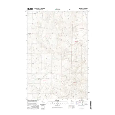
 2005 Iron Lake NE2006 Print · USGSBayfield County at the turn of the millennium shows a landscape defined by the Chequamegon National Forest and its protected barrens. Researchers can trace local resource management at the National Fish Hatchery or follow old timber routes like the Battleax Grade.
 - 2005 Map of Moquah NW, 2006 Print
 2005 Moquah NW2006 Print · USGSBayfield County’s forest landscape is preserved here as it appeared in the early 2000s, showing the intersection of managed timberlands and glacial water systems. Trace the isolated waters of Sunken Camp Lakes or the ecological borders of the Moquah Barrens Area.
 - 2005 Map of Mount Valhalla, 2006 Print
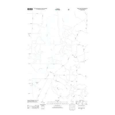
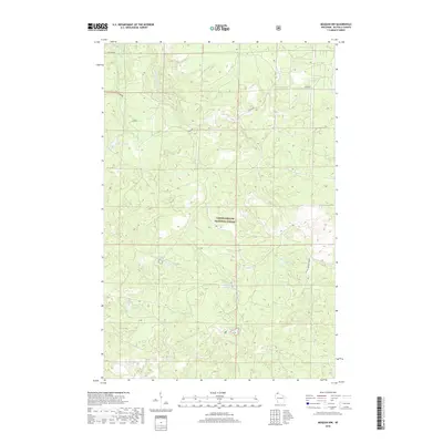
 2005 Mount Valhalla2006 Print · USGSBayfield County at the turn of the millennium is seen here as a managed forest landscape defined by the Chequamegon Nicolet National Forest. You can trace recreational sites like Birch Grove and landmarks such as Mount Valhalla and the Washburn Lookout.
 - 2010 Map of Washburn, 2010 Print
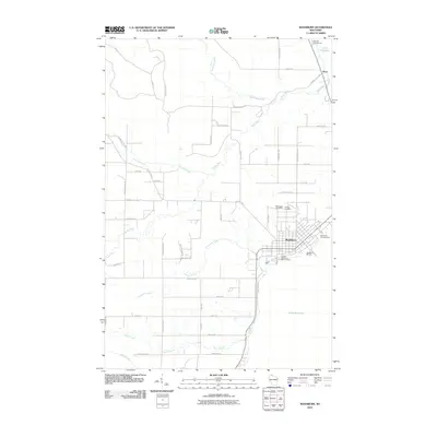 2010 Washburn2010 Print · USGSCovers Washburn, including Bayview, Barksdale, and other nearby areas
 - 2011 Map of Moquah NW, 2011 Print
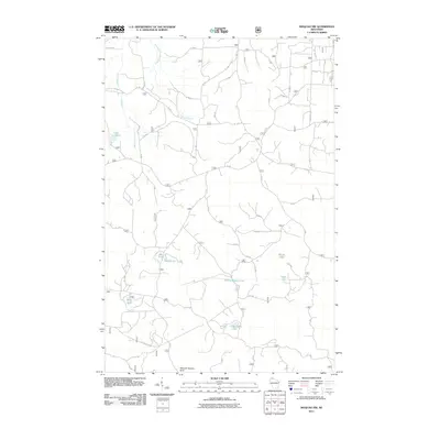 2011 Moquah NW2011 Print · USGSCovers Washburn, including Bell, Clover, and other nearby areas
 - 2011 Map of Mount Valhalla, 2011 Print
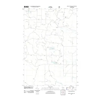 2011 Mount Valhalla2011 Print · USGSCovers Washburn, including Bell, Bayview, and other nearby areas
 - 2011 Map of Iron Lake NE, 2011 Print
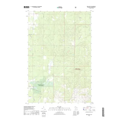
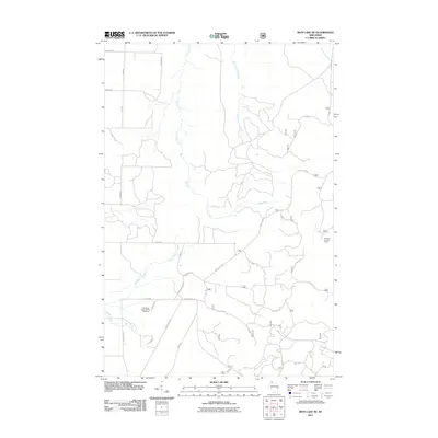 2011 Iron Lake NE2011 Print · USGSCovers Washburn, including Port Wing, Clover, and other nearby areas
 - 2013 Map of Iron Lake NE, 2013 Print
 2013 Iron Lake NE2013 Print · USGSCovers Washburn, including Port Wing, Clover, and other nearby areas
 - 2013 Map of Moquah NW, 2013 Print
 2013 Moquah NW2013 Print · USGSCovers Washburn, including Bell, Clover, and other nearby areas
 - 2013 Map of Mount Valhalla, 2013 Print
 2013 Mount Valhalla2013 Print · USGSCovers Washburn, including Bell, Bayview, and other nearby areas
 - 2013 Map of Washburn, 2013 Print
 2013 Washburn2013 Print · USGSCovers Washburn, including Bayview, Barksdale, and other nearby areas
 - 2015 Map of Iron Lake NE, 2015 Print
 2015 Iron Lake NE2015 Print · USGSCovers Washburn, including Port Wing, Clover, and other nearby areas
 - 2015 Map of Washburn, 2015 Print
 2015 Washburn2015 Print · USGSCovers Washburn, including Bayview, Barksdale, and other nearby areas
 - 2015 Map of Moquah NW, 2015 Print
 2015 Moquah NW2015 Print · USGSCovers Washburn, including Bell, Clover, and other nearby areas
 - 2015 Map of Mount Valhalla, 2015 Print
 2015 Mount Valhalla2015 Print · USGSCovers Washburn, including Bell, Bayview, and other nearby areas
 - 2018 Map of Mount Valhalla, 2018 Print
 2018 Mount Valhalla2018 Print · USGSCovers Washburn, including Bell, Bayview, and other nearby areas
 - 2018 Map of Moquah NW, 2018 Print
 2018 Moquah NW2018 Print · USGSCovers Washburn, including Bell, Clover, and other nearby areas
 - 2018 Map of Washburn, 2018 Print
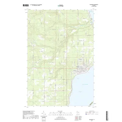 2018 Washburn2018 Print · USGSCovers Washburn, including Bayview, Barksdale, and other nearby areas
 - 2018 Map of Iron Lake NE, 2018 Print
 2018 Iron Lake NE2018 Print · USGSCovers Washburn, including Port Wing, Clover, and other nearby areas
 - 2022 Map of Washburn, 2022 Print
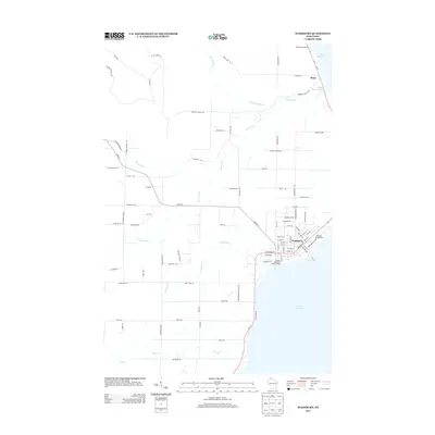
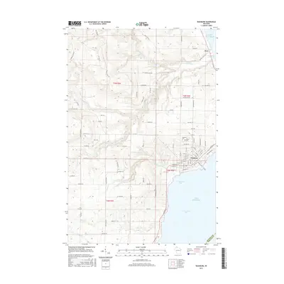
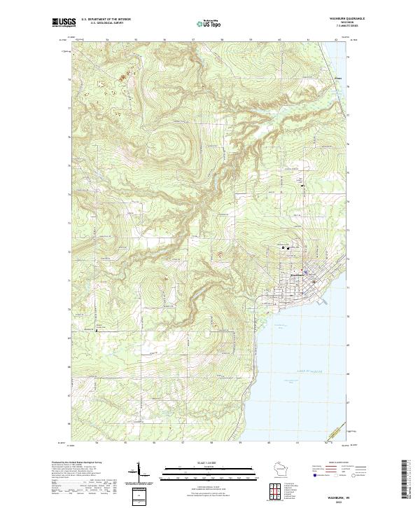 2022 Washburn2022 Print · USGSThe Lake Superior shoreline at Washburn and Vandeventer Bay is documented here in the early twenty-first century. Genealogists and local historians can trace the town's expansion toward Woodlawn Cem and the Bayfield County Courthouse.
 - 2022 Map of Mount Valhalla, 2022 Print
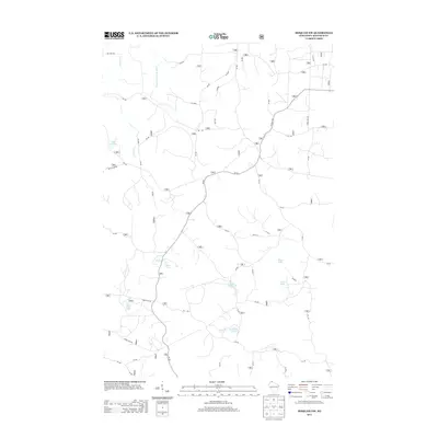
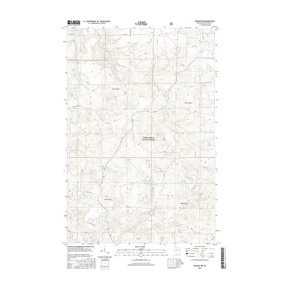
 2022 Mount Valhalla2022 Print · USGSBayfield County's timbered highlands are mapped here in the early twenty-first century, centered on the landmark Mt Valhalla. Researchers can trace the complex network of forest routes and local family-named roads like Wannebo Rd and Andrus Rd near the Sioux River.
 - 2022 Map of Moquah NW, 2022 Print
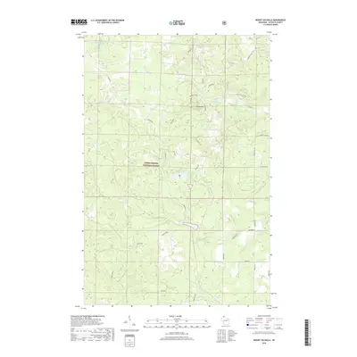
 2022 Moquah NW2022 Print · USGSThe Northwoods of Bayfield County are preserved here in the early twenty-first century, showing a landscape defined by forest management and glacial lakes. Researchers can trace remote access routes like Old Puig Rd and Lenawee Trl to secluded waters such as Hoist Lake and Pine Lake.
 - 2022 Map of Iron Lake NE, 2022 Print
 2022 Iron Lake NE2022 Print · USGSNorthern Wisconsin's timbered highlands and cold-water streams are meticulously charted in this recent study of the Bayfield County backcountry. Researchers can trace forest management routes and conservation sites like the Iron River National Fish Hatchery, the Battleaxe Trl, and the Flag River.
End of results
Showing maps 1-23 of 23
Top cities near Washburn
- Ashland historical maps
- Washburn historical maps
- Iron River historical maps
- Port Wing historical maps
- Delta historical maps
Frequently asked questions
- What are the different types of historical maps available for Washburn?
- What is the oldest map of Washburn?
- Where can I purchase historical maps of Washburn for my home or office?
- Where can I download high-res historical maps of Washburn?
- Are there historical topographic maps available for Washburn?
- Is there historical aerial imagery available for Washburn?
- Where are historical maps of Washburn sourced from?