2010s Maps of Brown County, Wisconsin
Explore 80 historic maps of Brown County from the 2010s. These maps offer a rare glimpse into what life looked like during the 2010s — showing old roads, neighborhoods, homes, and landmarks that have changed or disappeared over time.
Whether you're researching your family's past, planning a metal detecting trip, or studying how Brown County's landscape evolved across the 2010s, these high-resolution maps are a powerful tool for exploring the history of this region.
- Focus on a specific era: All maps on this page are from the 2010s, giving you a focused view of this time period.
- See what’s changed: Compare century-old streets, trails, and buildings to today's modern landscape using overlays and satellite layers.
- Research with precision: Use these maps for genealogy, historical research, land use analysis, or educational projects.
- View, download, or print: Maps are fully viewable online in high resolution, and can be downloaded or printed for your own records.
Start exploring Brown County's history through authentic maps from the 2010s. This is your window into the past.
Brown County, WI maps
(80)- 2010 Map of Zachow, 2010 Print
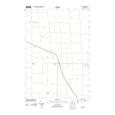 2010 Zachow2010 Print · USGSPulaski and the surrounding farm country are shown here in the late 2000s, revealing a landscape shaped by multiple river systems. Genealogists can trace family roots through sites like Resthaven Cemetery and the rural settlements of Zachow, Laney, and Hofa Park.
 - 2010 Map of Oneida North, 2010 Print
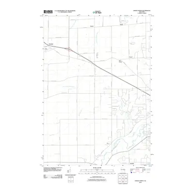 2010 Oneida North2010 Print · USGSNorthwest of Green Bay during the early twenty-first century, this area shows a landscape defined by the winding paths of Duck Creek and the West Branch Suamico River. Genealogists can trace local roots at Owego Cemetery, Zion Cemetery, and the historic settlement of Anston.
 - 2010 Map of Brillion, 2010 Print
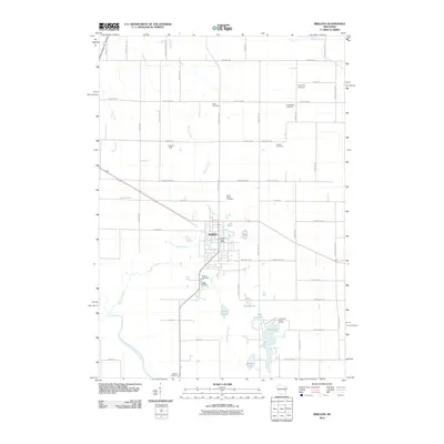 2010 Brillion2010 Print · USGSCalumet County was transitioning into the new millennium when this record of the Brillion area was made. Researchers can trace the layout of family-named roads and historic burial sites such as Bluff Cemetery, Kasson Cemetery, and Rantoul Cemetery.
 - 2010 Map of De Pere, 2010 Print
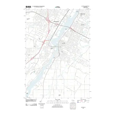 2010 De Pere2010 Print · USGSDe Pere and its neighboring riverfront communities show a complex landscape of industry and history in the early 2000s. Genealogists and local historians can trace numerous family sites across Woodlawn Cemetery, the Wisconsin State Reformatory, and the settlement at Little Rapids.
 - 2010 Map of Wrightstown, 2010 Print
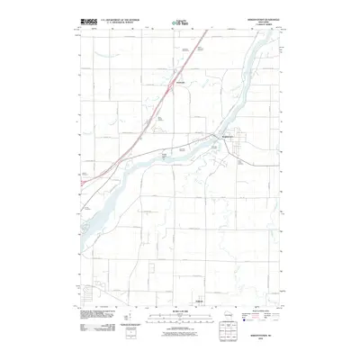 2010 Wrightstown2010 Print · USGSWrightstown and the Fox River valley are shown in this 2010 survey, capturing the agricultural and village life of Brown and Outagamie counties. Researchers can locate numerous local burial sites like Riverside Cemetery and Kelson Cemetery, as well as the Rapids Croche Dam.
 - 2010 Map of Greenleaf, 2010 Print
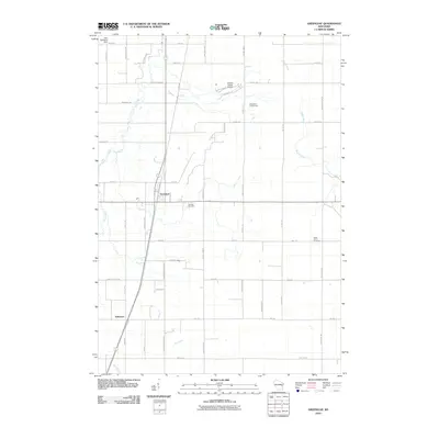 2010 Greenleaf2010 Print · USGSThe Greenleaf area of eastern Wisconsin at the start of the century shows a landscape of steady agricultural heritage and river-bound terrain. Genealogists can trace family roots through Fairview Cemetery and Askeaton, or locate landmarks like the Antique Classic Airport.
 - 2010 Map of New Franken, 2010 Print
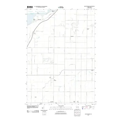 2010 New Franken2010 Print · USGSCoastal Green Bay meets the quiet farming communities of Brown County in the early twenty-first century. Researchers can locate numerous historic parish sites and burial grounds like Saint Marys Cemetery, Saint Huberts Cemetery, and the community of Walhain.
 - 2010 Map of Little Tail Point, 2010 Print
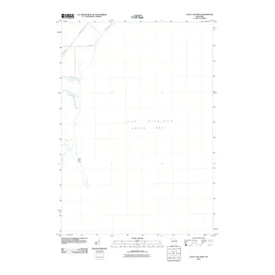 2010 Little Tail Point2010 Print · USGSThe Green Bay shoreline near Suamico is captured in the early twenty-first century as the land transitions into Lake Michigan. Researchers can trace the coastal geography of Little Tail Point and the winding mouth of the Little Suamico River near Lade Beach Rd.
 - 2010 Map of Poland, 2010 Print
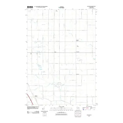 2010 Poland2010 Print · USGSEastern Brown County was still a landscape of established crossroads and family farms at the start of the decade. Genealogists and local historians can trace legacy road names and locate rural landmarks like Poland, Langes Corners, and Saint Josephs Cemetery.
 - 2010 Map of Dyckesville, 2010 Print
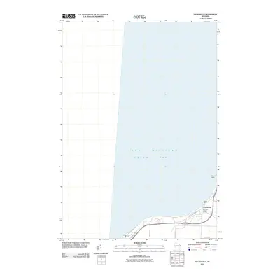 2010 Dyckesville2010 Print · USGSThe Green Bay shoreline near the Brown and Kewaunee county line comes into focus in this recent study of coastal Wisconsin. Genealogists and local historians can trace family locations near Dyckesville, the Saint Louis Catholic Cemetery, and Wellers Dock.
 - 2010 Map of Denmark, 2010 Print
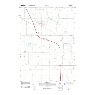 2010 Denmark2010 Print · USGSNorth of the Twin Rivers in the early twenty-first century, this area of Brown County maintains its deep rural roots and crossroads identity. Genealogists and local historians can trace family ties at the Bohemian Cemetery, West Danish Cemetery, or the village of Denmark.
 - 2010 Map of Bellevue, 2010 Print
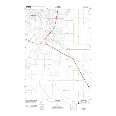 2010 Bellevue2010 Print · USGSGreen Bay and its southeastern suburbs are shown in a phase of rapid residential growth at the turn of the decade. Genealogists can locate family sites near Bellevue Cemetery, Martins Aerodrome, and old settlements like Pine Grove.
 - 2010 Map of Reedsville, 2010 Print
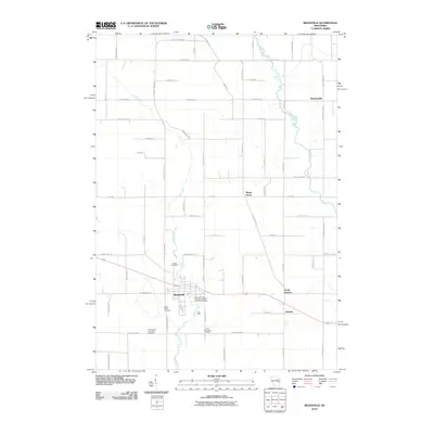 2010 Reedsville2010 Print · USGSEastern Wisconsin farmland near the turn of the 21st century remains anchored by its small communities and quiet creek valleys. Genealogists can trace family footprints through several local landmarks like Saint Marys Cemetery, Grimms, and Maple Grove.
 - 2010 Map of Morrison, 2010 Print
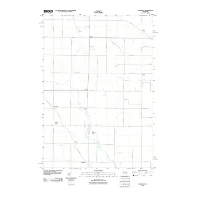 2010 Morrison2010 Print · USGSThe rural countryside of Brown County comes into focus in this late-career survey of eastern Wisconsin. Researchers can trace family roots through the grids of Wayside and Morrison or locate the historic Zion Cemetery and Emmanuel Cemetery.
 - 2010 Map of Hilbert, 2010 Print
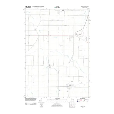 2010 Hilbert2010 Print · USGSCalumet County settlements and rural cemeteries are documented in this 2010 study of the Wisconsin countryside. Genealogists can locate family landmarks like Saint Johns Catholic Cemetery or the community of Forest Junction.
 - 2010 Map of Oneida South, 2010 Print
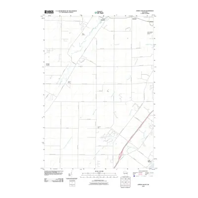 2010 Oneida South2010 Print · USGSThe Fox River valley and the Oneida reservation lands appear here during a period of modern expansion. Genealogists and local historians can trace family locations near Saint Joseph Cemetery, the crossroads at Chicago Corners, and the historic banks of Duck Creek.
 - 2010 Map of Green Bay East, 2010 Print
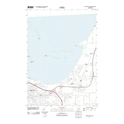 2010 Green Bay East2010 Print · USGSThe eastern shores of Green Bay and the winding corridor of Baird Creek are captured here in the early twenty-first century. Researchers can locate the historic Bay Settlement, Holy Cross Cemetery, and the campus of the University of Wisconsin at Green Bay.
 - 2010 Map of Green Bay West, 2010 Print
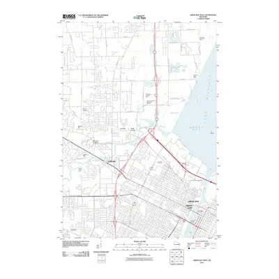 2010 Green Bay West2010 Print · USGSThe Green Bay waterfront and the village of Howard are shown here as they appeared a decade ago. Genealogists can locate family sites at Saint Johns Cemetery and Fort Howard Cemetery, while maritime researchers can trace the docks along the Fox River and Peats Lake.
 - 2010 Map of Suamico, 2010 Print
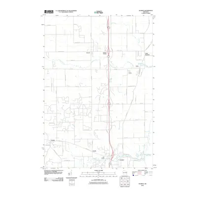 2010 Suamico2010 Print · USGSSuamico and the Green Bay shoreline are documented in this late-period survey of coastal Wisconsin. Researchers can trace family history through sites like Grosse Cemetery and the riverside settlements of Sobieski and Flintville.
 - 2010 Map of Pulaski, 2010 Print
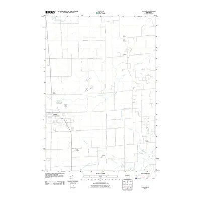 2010 Pulaski2010 Print · USGSThe village of Pulaski and the rural town of Chase are documented here during the early twenty-first century. Researchers can trace local heritage through landmarks like the Polish National Cemetery and Saint Joseph Cemetery, or follow the winding Little Suamico River.
 - 2013 Map of Poland, 2013 Print
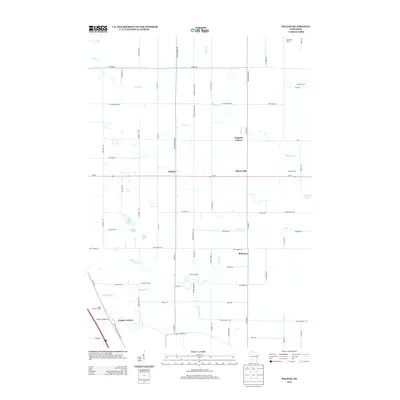 2013 Poland2013 Print · USGSDairy country in eastern Brown County comes into focus in the early twenty-first century, showing a landscape of century farms and crossroads hamlets. Genealogists and local historians can locate heritage sites like Rosik Century Farms, Martyville Dairy, and Coppens Corner.
 - 2013 Map of Little Tail Point, 2013 Print
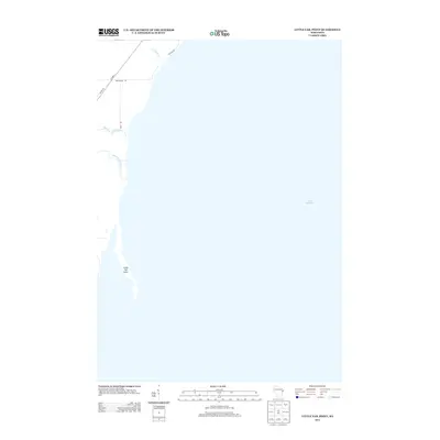 2013 Little Tail Point2013 Print · USGSThe western shore of Green Bay in the early 2010s reveals a delicate interface between the land and Lake Michigan. Genealogists and shoreline researchers can trace the coastal access roads and small waterways like Little Tail Point, Little Suamico River, and Tibbet Creek.
 - 2013 Map of Reedsville, 2013 Print
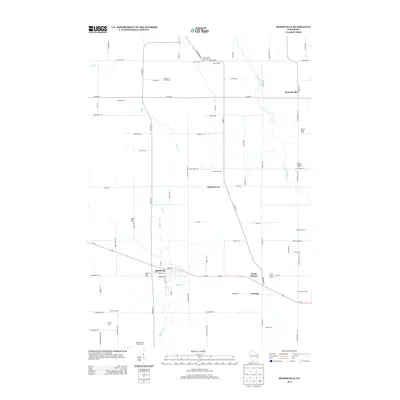 2013 Reedsville2013 Print · USGSDairy farming roots run deep in this Wisconsin landscape, where the early twenty-first century agricultural footprint is preserved in detail. Genealogists and local historians can locate specific family holdings like Baroun Century Farm and the Welsh Farm near Reedsville.
 - 2013 Map of New Franken, 2013 Print
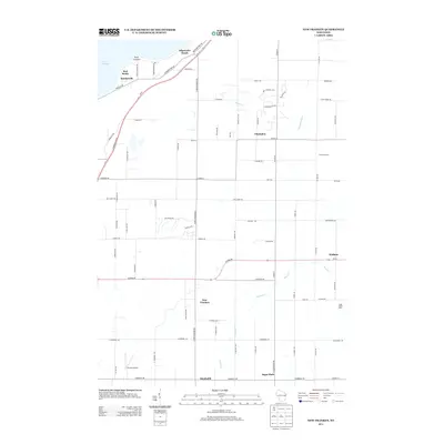 2013 New Franken2013 Print · USGSCoastal bluffs and quiet dairy farms define this Brown County landscape as it appeared in the early twenty-first century. Genealogists can trace family footprints through crossroads settlements like New Franken, Sugar Bush, and the lakeside community of Benderville.
 - 2013 Map of Oneida South, 2013 Print
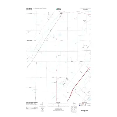 2013 Oneida South2013 Print · USGSThe outskirts of Green Bay come into focus in the early 2010s, where the Austin Straubel International Airport meets rural townships. Genealogists and researchers can trace local landmarks from Oneida and Little Rapids to the heights of Gopher Hill.
Showing maps 1-25 of 80
Top cities of Brown County
- Green Bay historical maps
- De Pere historical maps
- Howard historical maps
- Allouez historical maps
- Bellevue historical maps
- Suamico historical maps
See more
Frequently asked questions
- What are the different types of historical maps available for Brown County?
- What is the oldest map of Brown County?
- Where can I purchase historical maps of Brown County for my home or office?
- Where can I download high-res historical maps of Brown County?
- Are there historical topographic maps available for Brown County?
- Is there historical aerial imagery available for Brown County?
- Where are historical maps of Brown County sourced from?