2000s (21st Century) Maps of Morrison, Wisconsin
Explore 20 historic maps of Morrison from the 2000s (21st Century). These maps offer a rare glimpse into what life looked like during the 2000s — showing old roads, neighborhoods, homes, and landmarks that have changed or disappeared over time.
Whether you're researching your family's past, planning a metal detecting trip, or studying how Morrison's landscape evolved across the 2000s, these high-resolution maps are a powerful tool for exploring the history of this region.
- Focus on a specific era: All maps on this page are from the 2000s, giving you a focused view of this time period.
- See what’s changed: Compare century-old streets, trails, and buildings to today's modern landscape using overlays and satellite layers.
- Research with precision: Use these maps for genealogy, historical research, land use analysis, or educational projects.
- View, download, or print: Maps are fully viewable online in high resolution, and can be downloaded or printed for your own records.
Start exploring Morrison's history through authentic maps from the 2000s. This is your window into the past.
Morrison, WI maps
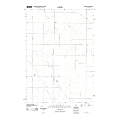
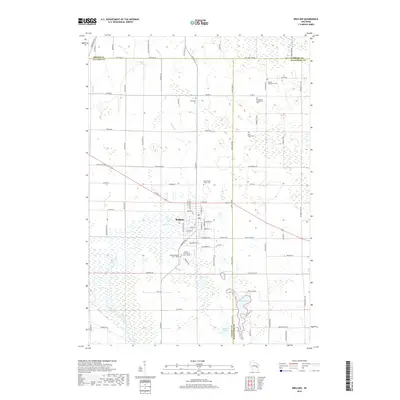
(20)- 2010 Map of Brillion, 2010 Print
 2010 Brillion2010 Print · USGSCovers Morrison, including Brillion, Holland, and other nearby areas
 - 2010 Map of Greenleaf, 2010 Print
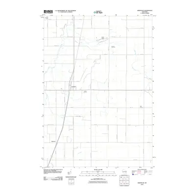 2010 Greenleaf2010 Print · USGSCovers Morrison, including Holland, Glenmore, and other nearby areas
 - 2010 Map of Reedsville, 2010 Print
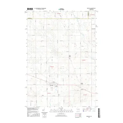
 2010 Reedsville2010 Print · USGSCovers Morrison, including Cooperstown, Reedsville, and other nearby areas
 - 2010 Map of Morrison, 2010 Print
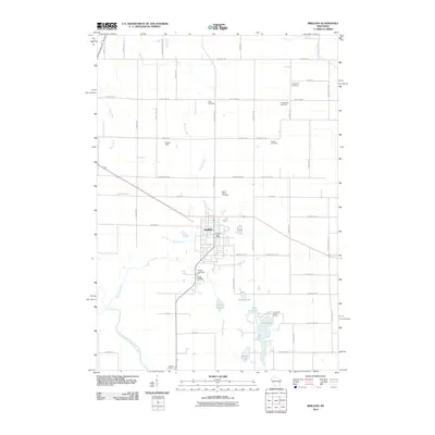
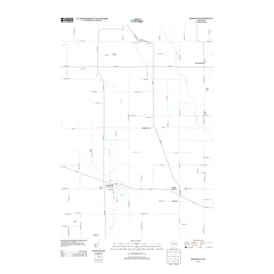
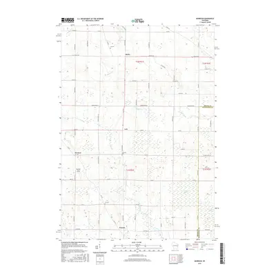
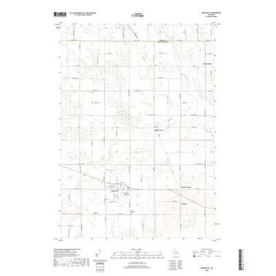
 2010 Morrison2010 Print · USGSCovers Morrison, including Cooperstown, Glenmore, and other nearby areas
 - 2013 Map of Reedsville, 2013 Print
 2013 Reedsville2013 Print · USGSCovers Morrison, including Cooperstown, Reedsville, and other nearby areas
 - 2013 Map of Brillion, 2013 Print
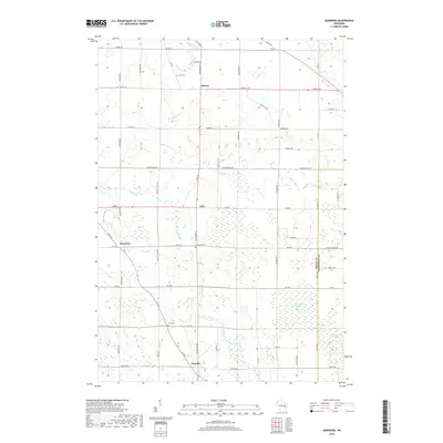
 2013 Brillion2013 Print · USGSCovers Morrison, including Brillion, Holland, and other nearby areas
 - 2013 Map of Greenleaf, 2013 Print
 2013 Greenleaf2013 Print · USGSCovers Morrison, including Holland, Glenmore, and other nearby areas
 - 2013 Map of Morrison, 2013 Print
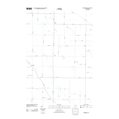 2013 Morrison2013 Print · USGSCovers Morrison, including Cooperstown, Glenmore, and other nearby areas
 - 2015 Map of Morrison, 2015 Print
 2015 Morrison2015 Print · USGSCovers Morrison, including Cooperstown, Glenmore, and other nearby areas
 - 2015 Map of Reedsville, 2015 Print
 2015 Reedsville2015 Print · USGSCovers Morrison, including Cooperstown, Reedsville, and other nearby areas
 - 2016 Map of Brillion, 2016 Print
 2016 Brillion2016 Print · USGSCovers Morrison, including Brillion, Holland, and other nearby areas
 - 2016 Map of Greenleaf, 2016 Print
 2016 Greenleaf2016 Print · USGSCovers Morrison, including Holland, Glenmore, and other nearby areas
 - 2018 Map of Greenleaf, 2018 Print
 2018 Greenleaf2018 Print · USGSCovers Morrison, including Holland, Glenmore, and other nearby areas
 - 2018 Map of Brillion, 2018 Print
 2018 Brillion2018 Print · USGSCovers Morrison, including Brillion, Holland, and other nearby areas
 - 2018 Map of Reedsville, 2018 Print
 2018 Reedsville2018 Print · USGSCovers Morrison, including Cooperstown, Reedsville, and other nearby areas
 - 2018 Map of Morrison, 2018 Print
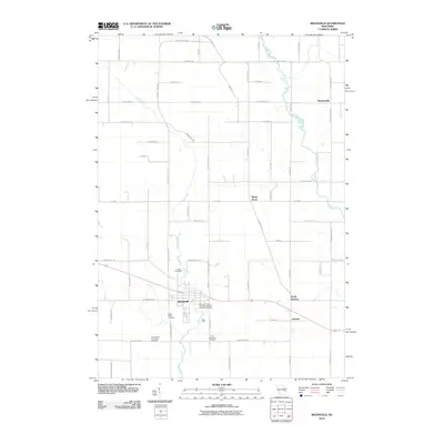
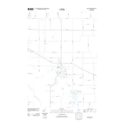
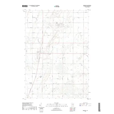
 2018 Morrison2018 Print · USGSCovers Morrison, including Cooperstown, Glenmore, and other nearby areas
 - 2022 Map of Morrison, 2022 Print
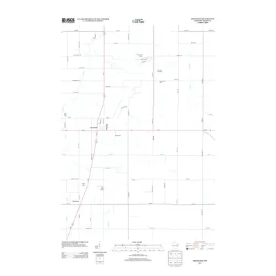
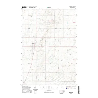
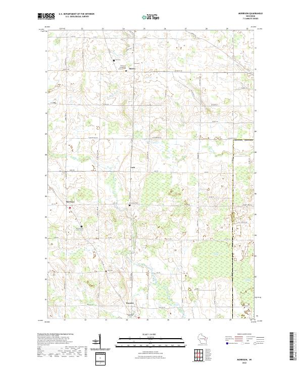 2022 Morrison2022 Print · USGSSouthern Brown County remains a landscape of tightly-knit rural communities and sprawling wetlands in this modern survey. Genealogists and local historians can locate several denominational burial sites, including the Emmanuel Cem and Zion Cem, alongside the drainages of Devils River and Bower Creek.
 - 2022 Map of Reedsville, 2022 Print
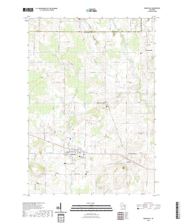 2022 Reedsville2022 Print · USGSThe countryside of Manitowoc and Brown Counties is meticulously detailed in this recent survey. Genealogists can trace local history through a wealth of burial sites including Frieden Cem, Saint Patrick Catholic Cem, and Zion Evergreen Cem.
 - 2022 Map of Greenleaf, 2022 Print
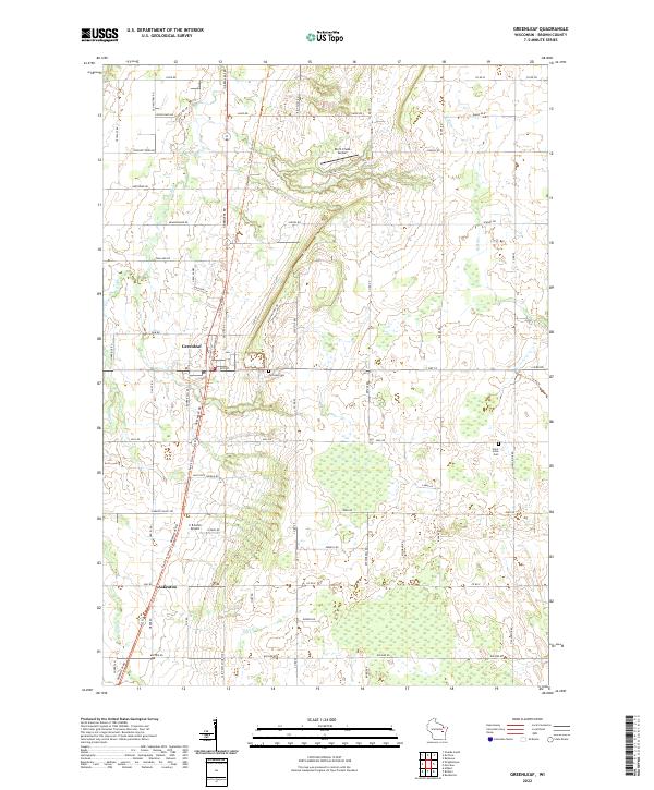 2022 Greenleaf2022 Print · USGSSouthern Brown County in the early 2020s remains a landscape of quiet rural settlements and historic thoroughfares. Genealogists and local historians can trace family-named routes and landmarks from Greenleaf down to Askeaton, including Fairview Cem and the Old Military Rd.
 - 2022 Map of Brillion, 2022 Print
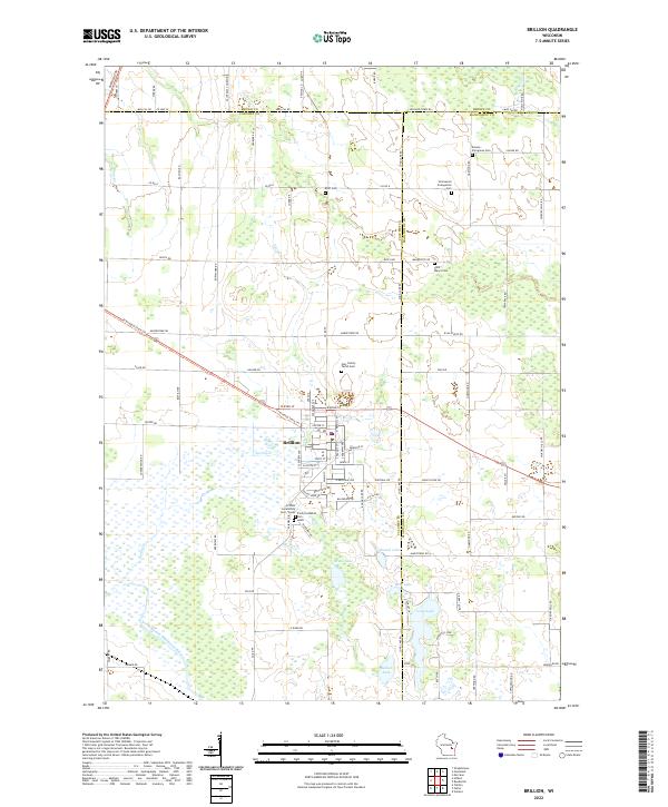 2022 Brillion2022 Print · USGSBrillion and the surrounding dairy country are shown here in the 2020s at the intersection of three Wisconsin counties. Genealogists can trace family connections at Saint Mary's Cem and Kasson - Evergreen Cem, while naturalists can map the wetlands around Grass Lake and the North Branch Manitowoc River.
End of results
Showing maps 1-20 of 20
Top cities near Morrison
- Green Bay historical maps
- Manitowoc historical maps
- De Pere historical maps
- Allouez historical maps
- Bellevue historical maps
- Ledgeview historical maps
See more
Top neighborhoods of Morrison
Frequently asked questions
- What are the different types of historical maps available for Morrison?
- What is the oldest map of Morrison?
- Where can I purchase historical maps of Morrison for my home or office?
- Where can I download high-res historical maps of Morrison?
- Are there historical topographic maps available for Morrison?
- Is there historical aerial imagery available for Morrison?
- Where are historical maps of Morrison sourced from?