2000s (21st Century) Maps of Suamico, Wisconsin
Explore 30 historic maps of Suamico from the 2000s (21st Century). These maps offer a rare glimpse into what life looked like during the 2000s — showing old roads, neighborhoods, homes, and landmarks that have changed or disappeared over time.
Whether you're researching your family's past, planning a metal detecting trip, or studying how Suamico's landscape evolved across the 2000s, these high-resolution maps are a powerful tool for exploring the history of this region.
- Focus on a specific era: All maps on this page are from the 2000s, giving you a focused view of this time period.
- See what’s changed: Compare century-old streets, trails, and buildings to today's modern landscape using overlays and satellite layers.
- Research with precision: Use these maps for genealogy, historical research, land use analysis, or educational projects.
- View, download, or print: Maps are fully viewable online in high resolution, and can be downloaded or printed for your own records.
Start exploring Suamico's history through authentic maps from the 2000s. This is your window into the past.
Suamico, WI maps
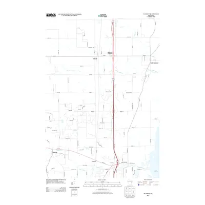
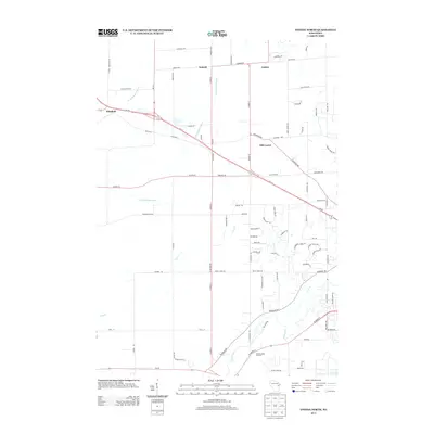
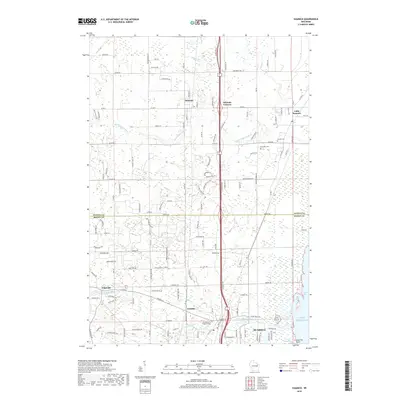
(30)- 2010 Map of Oneida North, 2010 Print
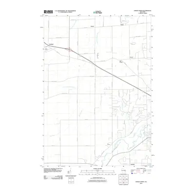 2010 Oneida North2010 Print · USGSCovers Suamico, including Green Bay, Howard, and other nearby areas
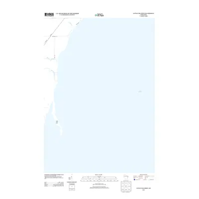
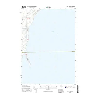
 - 2010 Map of Little Tail Point, 2010 Print
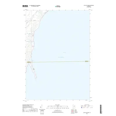
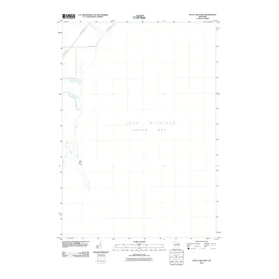 2010 Little Tail Point2010 Print · USGSCovers Suamico, including Little Suamico, Brown County, and other nearby areas
 - 2010 Map of Green Bay East, 2010 Print
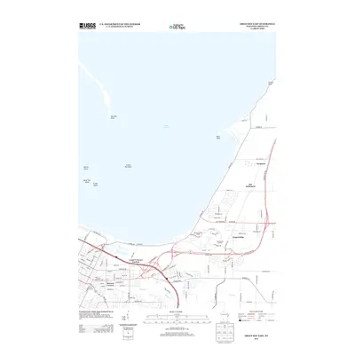
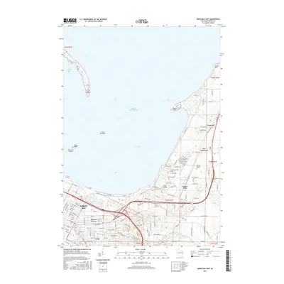
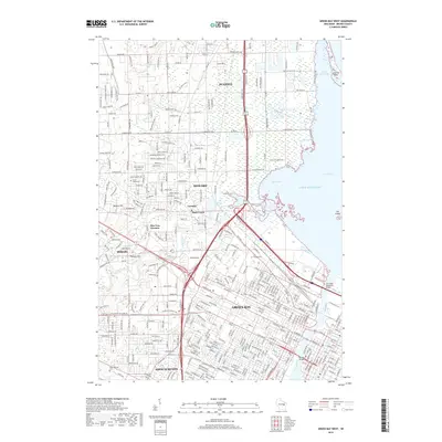
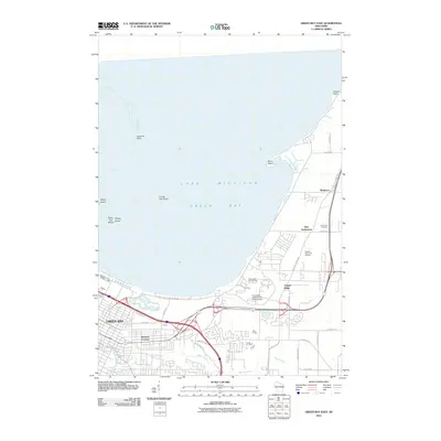 2010 Green Bay East2010 Print · USGSCovers Suamico, including Green Bay, Humboldt, and other nearby areas
 - 2010 Map of Green Bay West, 2010 Print
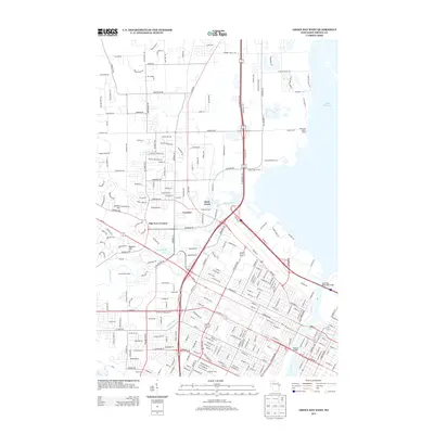
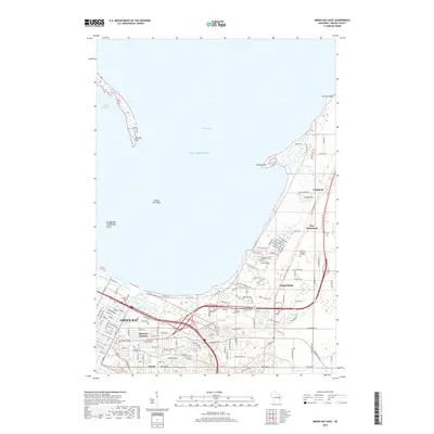
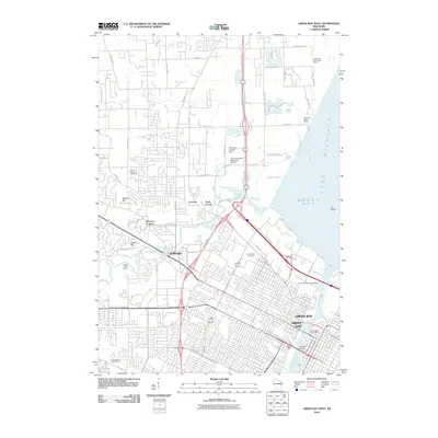 2010 Green Bay West2010 Print · USGSCovers Suamico, including Green Bay, Howard, and other nearby areas
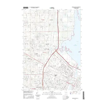
 - 2010 Map of Suamico, 2010 Print
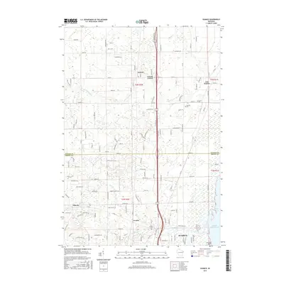
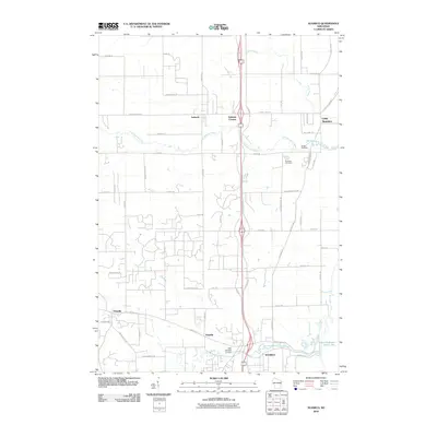 2010 Suamico2010 Print · USGSCovers Suamico, including Little Suamico, Abrams, and other nearby areas
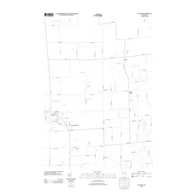
 - 2010 Map of Pulaski, 2010 Print
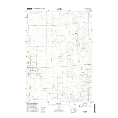
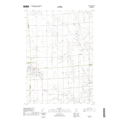
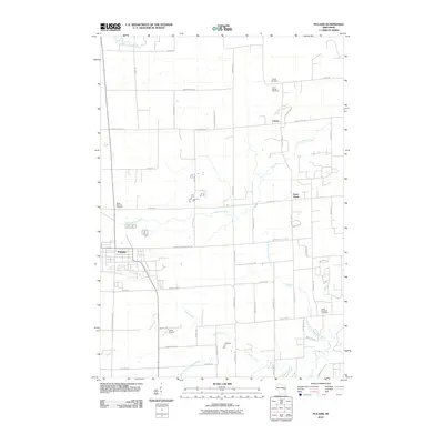 2010 Pulaski2010 Print · USGSCovers Suamico, including Little Suamico, Pulaski, and other nearby areas
 - 2013 Map of Little Tail Point, 2013 Print
 2013 Little Tail Point2013 Print · USGSCovers Suamico, including Little Suamico, Brown County, and other nearby areas
 - 2013 Map of Suamico, 2013 Print
 2013 Suamico2013 Print · USGSCovers Suamico, including Little Suamico, Abrams, and other nearby areas
 - 2013 Map of Oneida North, 2013 Print
 2013 Oneida North2013 Print · USGSCovers Suamico, including Green Bay, Howard, and other nearby areas
 - 2013 Map of Green Bay East, 2013 Print
 2013 Green Bay East2013 Print · USGSCovers Suamico, including Green Bay, Humboldt, and other nearby areas
 - 2013 Map of Green Bay West, 2013 Print
 2013 Green Bay West2013 Print · USGSCovers Suamico, including Green Bay, Howard, and other nearby areas
 - 2013 Map of Pulaski, 2013 Print
 2013 Pulaski2013 Print · USGSCovers Suamico, including Little Suamico, Pulaski, and other nearby areas
 - 2015 Map of Little Tail Point, 2015 Print
 2015 Little Tail Point2015 Print · USGSCovers Suamico, including Little Suamico, Brown County, and other nearby areas
 - 2015 Map of Green Bay East, 2015 Print
 2015 Green Bay East2015 Print · USGSCovers Suamico, including Green Bay, Humboldt, and other nearby areas
 - 2016 Map of Suamico, 2016 Print
 2016 Suamico2016 Print · USGSCovers Suamico, including Little Suamico, Abrams, and other nearby areas
 - 2016 Map of Oneida North, 2016 Print
 2016 Oneida North2016 Print · USGSCovers Suamico, including Green Bay, Howard, and other nearby areas
 - 2016 Map of Green Bay West, 2016 Print
 2016 Green Bay West2016 Print · USGSCovers Suamico, including Green Bay, Howard, and other nearby areas
 - 2016 Map of Pulaski, 2016 Print
 2016 Pulaski2016 Print · USGSCovers Suamico, including Little Suamico, Pulaski, and other nearby areas
 - 2018 Map of Suamico, 2018 Print
 2018 Suamico2018 Print · USGSCovers Suamico, including Little Suamico, Abrams, and other nearby areas
 - 2018 Map of Oneida North, 2018 Print
 2018 Oneida North2018 Print · USGSCovers Suamico, including Green Bay, Howard, and other nearby areas
 - 2018 Map of Green Bay West, 2018 Print
 2018 Green Bay West2018 Print · USGSCovers Suamico, including Green Bay, Howard, and other nearby areas
 - 2018 Map of Pulaski, 2018 Print
 2018 Pulaski2018 Print · USGSCovers Suamico, including Little Suamico, Pulaski, and other nearby areas
 - 2018 Map of Little Tail Point, 2018 Print
 2018 Little Tail Point2018 Print · USGSCovers Suamico, including Little Suamico, Brown County, and other nearby areas
 - 2018 Map of Green Bay East, 2018 Print
 2018 Green Bay East2018 Print · USGSCovers Suamico, including Green Bay, Humboldt, and other nearby areas
 - 2022 Map of Oneida North, 2022 Print
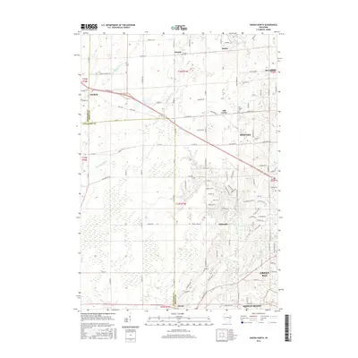
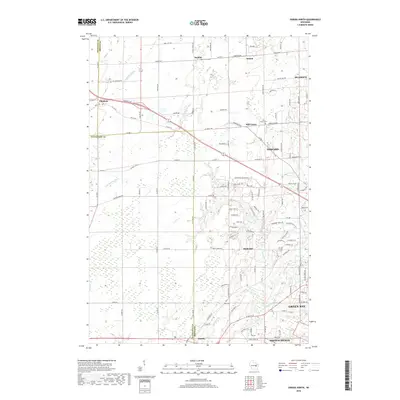
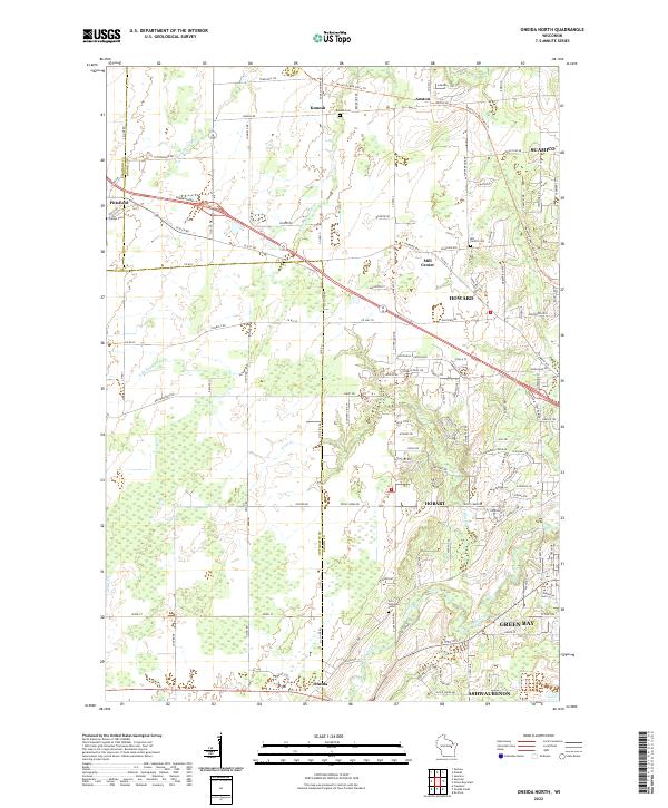 2022 Oneida North2022 Print · USGSIn the outskirts of Green Bay during the 2020s, this area shows a blend of rural township history and modern growth. Researchers can find old burial grounds like Mill Centre Cem and trace the paths of the S Br Suamico River or the Mountain-Bay State Trl.
Showing maps 1-25 of 30
Top cities near Suamico
- Green Bay historical maps
- De Pere historical maps
- Howard historical maps
- Allouez historical maps
- Bellevue historical maps
- Ledgeview historical maps
See more
Top neighborhoods of Suamico
Frequently asked questions
- What are the different types of historical maps available for Suamico?
- What is the oldest map of Suamico?
- Where can I purchase historical maps of Suamico for my home or office?
- Where can I download high-res historical maps of Suamico?
- Are there historical topographic maps available for Suamico?
- Is there historical aerial imagery available for Suamico?
- Where are historical maps of Suamico sourced from?