Old Maps of Milton, Wisconsin for Genealogy
Trace your family roots with 28 historic maps of Milton. These high-res maps reveal old neighborhoods, homesites, landmarks, and streets — helping you uncover where your ancestors lived and how the area evolved over time.
- Explore historic neighborhoods: Identify where your relatives may have lived in the 1800s or 1900s.
- Compare maps over time: Trace the changes in streets, buildings, and landmarks for multi-generational research.
- Perfect for genealogy & ancestry research: Used by family historians and researchers to map out lineage and migration.
These maps are an incredible resource for exploring your personal connection to Milton's past.
Milton, WI maps
(28)- 1929 Map of Fountain City
 1929 Fountain City1929 Print · USGSIn the late twenties, the Mississippi River bluffs near Fountain City were defined by a steep landscape of narrow valleys and ridge-top farms. Researchers can trace dozens of rural school sites like Buffalo Ridge Sch and Oak Grove Sch among the winding tracks of State Hwy 35.2 unique versions available
 - 1932 Map of Cochrane
 1932 Cochrane1932 Print · USGSThe Mississippi River valley in the early thirties shows a intricate network of islands and sloughs tucked beneath high bluffs. Trace the historical footprints of Buffalo City, locate rural schoolhouses like Oak Valley Sch, and follow the Chicago Burlington and Quincy rail line.
 - 1934 Map of Winona, 1955 Print
 1934 Winona1955 Print · USGSThe Mississippi River valley in the mid-1930s reveals a complex network of rail lines and river engineering. Researchers can trace the grounds of St Marys College, find rural schools like Meyers Sch, and locate the early infrastructure of Lock and Dam No 5A.2 unique versions available
 - 1934 Map of Cochrane, 1968 Print
 1934 Cochrane1968 Print · USGSThe Mississippi River corridor and surrounding bluffs are captured here in the mid-1930s, documenting the riverside rail lines and upland farm communities. Genealogists can trace family landmarks like Young Cem, Mount Vernon Sch, and the Transient Relief Camp.
 - 1937 Map of Winona
 1937 Winona1937 Print · USGSIn the mid-thirties, the Mississippi River valley near Winona was a bustling network of rail yards and river channels. Genealogists and historians can trace the foundations of local communities through landmarks like St Marys College, the St Marys Cem, and vanished schoolhouses like Bohris Valley Sch.3 unique versions available
 - 1937 Map of Cochrane
 1937 Cochrane1937 Print · USGSThe Mississippi River bluffs during the late thirties show a region defined by river navigation and rural township life. Genealogists can trace family roots through numerous local landmarks like Hebron Ch, Mount Vernon Cem, and schools from Buffalo to Rollingstone.2 unique versions available
 - 1953 Map of Eau Claire, 1965 Print
 1953 Eau Claire1965 Print · USGSWest-central Wisconsin in the mid-fifties shows a landscape of river-valley industry and vast wildlife refuges during the transition from rails to modern highways. Genealogists and historians can trace the rail corridors of the Chicago and North Western or locate family-named landmarks like Decorah Mound and Chippewa Island.4 unique versions available
 - 1958 Map of Eau Claire
 1958 Eau Claire1958 Print · USGSWestern Wisconsin in the late fifties shows a landscape of growing regional hubs and massive wildlife refuges. Trace the rail lines of the Chicago and North Western between Eau Claire and Marshfield, or explore the terrain around Iron Mound and Lake Wissota.
 - 1964 Map of Eau Claire
 1964 Eau Claire1964 Print · USGSWest-central Wisconsin in the mid-1960s was a hub of river-driven industry and expanding rail networks. Researchers can trace historic homesteads near Menomonie, follow the Soo Line RR through Marshfield, or explore the grounds of the Camp McCoy Military Reservation.
 - 1972 Map of Fountain City, 1975 Print
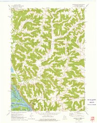 1972 Fountain City1975 Print · USGSFountain City and the Mississippi River bluffs are captured in the early seventies, showing a landscape of steep ridges and deep valleys. Researchers can locate family landmarks like St Marys Cem, trace the Burlington Northern line, or explore Merrick State Park.
 - 1972 Map of Cochrane, 1976 Print
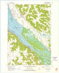 1972 Cochrane1976 Print · USGSThe upper Mississippi riverfront and its surrounding bluffs are captured here in the early seventies, showing a landscape defined by navigation and nature. Genealogists and historians can trace the streets of Cochrane, locate the Mount Vernon Cem, and see the rail lines of the Burlington Northern.2 unique versions available
 - 1972 Map of Weaver, 1976 Print
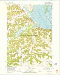 1972 Weaver1976 Print · USGSThe river bluffs and backwaters of Winona County are captured in the early seventies, showing a landscape shaped by timber and the Mississippi. Researchers can trace the tracks of the Chicago Milwaukee St Paul and Pacific and locate local landmarks like St Marys Cem Evergreen Sem or Mount Vernon.2 unique versions available
 - 1985 Map of Winona
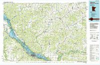 1985 Winona1985 Print · USGSThe Mississippi River valley and the coulees of the Driftless Area are shown here in the mid-1980s as the river's lock-and-dam system was well-established. Researchers can trace the riverfront at Winona, explore the bluffs near Galesville, or locate landmarks like Sugarloaf and Merrick State Park.2 unique versions available
 - 2011 Map of Weaver, 2011 Print
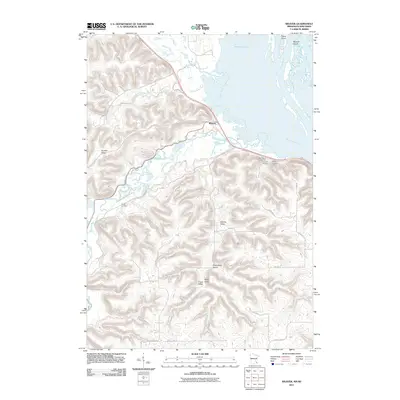 2011 Weaver2011 Print · USGSThe river bluffs and backwaters of Buffalo County are captured here in the early twenty-first century. Genealogists and local historians can locate several rural burial grounds, such as Saint Marys and Young Cemetery, alongside the settlement of Weaver.
 - 2011 Map of Cochrane, 2011 Print
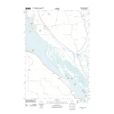 2011 Cochrane2011 Print · USGSThe riverfront communities of Buffalo City and Cochrane sit along the Upper Mississippi in the early twenty-first century. Genealogists and researchers can trace local landmarks like Mount Vernon Cemetery, the settlement of Minneiska, and the river landing at Bass Camp.
 - 2011 Map of Fountain City, 2011 Print
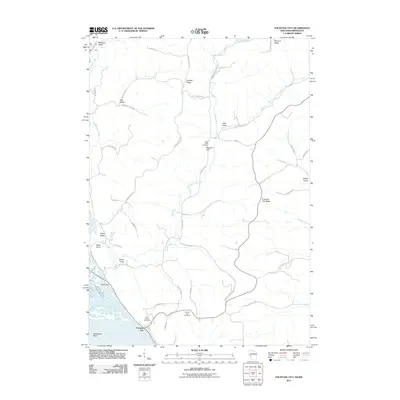 2011 Fountain City2011 Print · USGSFountain City and the Mississippi riverfront are captured here in the early twenty-first century, highlighting a landscape of steep coulees and river bottomlands. Genealogists and hikers can trace old valley roads to Eagle Valley Cemetery or explore the heights of Canada Ridge and Wagners Cliff.
 - 2013 Map of Cochrane, 2013 Print
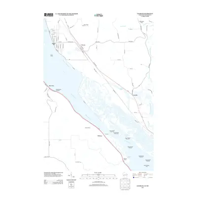 2013 Cochrane2013 Print · USGSThe Upper Mississippi River valley at the Wisconsin border reveals a landscape of intricate sloughs and riverfront towns. Researchers can trace the development of Buffalo City and Cochrane near landmarks like Chimney Rock and Bass Camp.
 - 2013 Map of Fountain City, 2013 Print
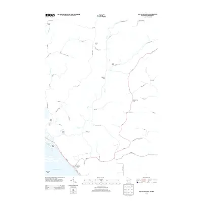 2013 Fountain City2013 Print · USGSFountain City occupies the narrow margin between the Mississippi River and the high Wisconsin bluffs in this 2013 record. Researchers can trace landforms and local routes like Wagners Cliff, Canada Ridge, and the winding Schaffner Dugway.
 - 2013 Map of Weaver, 2013 Print
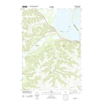 2013 Weaver2013 Print · USGSThe river bluffs and bottomlands of the upper Mississippi come into focus here during the early twenty-first century. Genealogists can trace several burial sites including Saint Marys and Hillside Cem, while exploring the valley roads of Weaver and Minneiska.
 - 2015 Map of Cochrane, 2015 Print
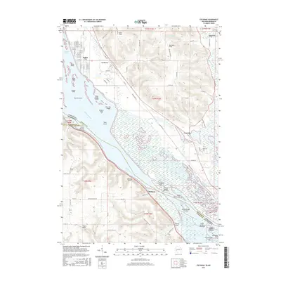 2015 Cochrane2015 Print · USGSBuffalo City and Cochrane sit along the Mississippi River bluffs in the mid-2010s, where the railroad and river define local life. Genealogists and historians can trace family-named terrain and small settlements like Czechville, Whitman, and Mount Vernon Cem.
 - 2015 Map of Fountain City, 2015 Print
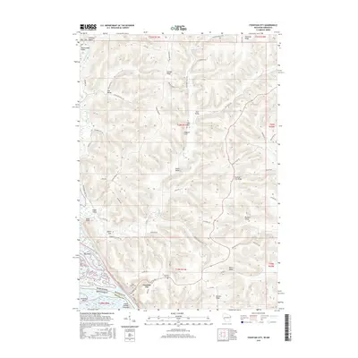 2015 Fountain City2015 Print · USGSThe riverfront and blufflands of the Mississippi are documented here during the early twenty-first century. Genealogists and local historians can trace family burial sites at Saint Marys Cem and landmark terrain features like Wagners Cliff and Owl Head.
 - 2016 Map of Weaver, 2016 Print
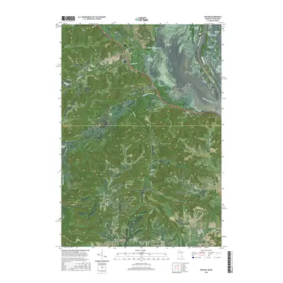 2016 Weaver2016 Print · USGSThe Mississippi River backwaters and the high bluffs of Wabasha County come alive in this mid-2010s survey. Genealogists can locate several local burial sites like Saint Marys Cem and Young Cem, while tracing the valley paths of Adams Valley and Frisch Valley.
 - 2018 Map of Fountain City, 2018 Print
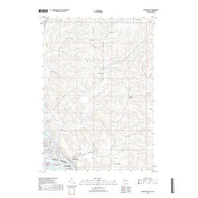 2018 Fountain City2018 Print · USGSFountain City and the surrounding river bluffs are captured here in the late 2010s, showcasing the complex coulee geography of the Upper Mississippi. Researchers can trace family-named landmarks like Canada Ridge, Wagners Cliff, and Saint Marys Cem.
 - 2018 Map of Cochrane, 2018 Print
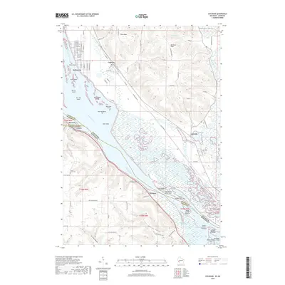 2018 Cochrane2018 Print · USGSThe riverfront communities of Buffalo City and Cochrane sit along the upper Mississippi at a time of established rail and river transit. Genealogists and local historians can trace family locations near Mount Vernon Cem, Czechville, and the many islands like Deer Toe Island.
 - 2019 Map of Weaver, 2019 Print
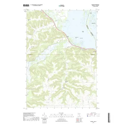 2019 Weaver2019 Print · USGSThe Upper Mississippi River valley comes alive in this contemporary survey of the riverfront and adjacent bluffs. Researchers can trace family history through numerous local landmarks like Saint Marys Cemetery, Selke Valley, and the streets of Buffalo City.
Showing maps 1-25 of 28
Top cities near Milton
- Winona historical maps
- Goodview historical maps
- Wabasha historical maps
- Lewiston historical maps
- Wilson historical maps
- Buffalo City historical maps
See more
Top neighborhoods of Milton
Frequently asked questions
- What are the different types of historical maps available for Milton?
- What is the oldest map of Milton?
- Where can I purchase historical maps of Milton for my home or office?
- Where can I download high-res historical maps of Milton?
- Are there historical topographic maps available for Milton?
- Is there historical aerial imagery available for Milton?
- Where are historical maps of Milton sourced from?