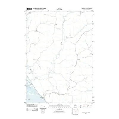
2011 Map of Fountain City
USGS Topo · Published 2011About this map
Fountain City occupies a narrow strip between the bluffs and the Mississippi River, where the landscape is defined by steep ridges and deeply incised valleys. This 2011 survey illustrates the complex topography of the river’s eastern bank, with prominent landmarks such as Wagners Cliff and Owl Head rising above the bottomlands of Merrick State Park. The interior is crisscrossed by a network of “dugways” and valley roads, including Schaffner Dugway and Baertsch Valley Rd, which follow the natural contours of the Driftless Area. Numerous small cemeteries, such as Eagle Valley Cemetery and Saint Marys Cemetery, are tucked into these valleys, reflecting generations of family settlement. The map also captures the hydraulic character of the region, from the meandering Eagle Creek to the distinct river features of Horseshoe Bend and the Speith Hole slough.
Find a feature on this map
49 named features on this map. Tap any name to fly to it.
Don’t see what you’re looking for? This feature index may not catch every label — zoom into the map to look around manually.
Map Details
Editions of this 2011 Fountain City Map
This is the sole edition of this map. No revisions or reprints were ever made.
Other maps of this area

1929 · Fountain City
USGS Topo · 1:62,500

1932 · Cochrane
USGS Topo · 1:62,500

1932 · Gilmanton
USGS Topo · 1:62,500

1932 · Alma
USGS Topo · 1:62,500

1934 · Winona
USGS Topo · 1:62,500

1934 · Cochrane
USGS Topo · 1:62,500

1937 · Winona
USGS Topo · 1:62,500

1937 · Cochrane
USGS Topo · 1:62,500

1950 · Alma
USGS Topo · 1:62,500

1953 · Eau Claire
USGS Topo · 1:250,000