Old Maps of Timberland, Wisconsin for Metal Detecting
Plan your next treasure hunt with 14 historic maps of Timberland. Find old homesites, ghost towns, trails, and gathering spots that may be lost to time — perfect for identifying promising metal detecting locations.
- Locate forgotten sites: Uncover places like long-lost settlements, abandoned rail lines, or gathering spots.
- Plan better hunts: Use map overlays combined with LiDAR or satellite views to narrow in on historically rich areas.
- Made for detectorists: Thousands of hobbyists use these maps to discover relics, coins, and hidden history.
Use these historic maps to boost your research and find new opportunities beneath the surface of Timberland.
Timberland, WI maps
(14)- 1951 Map of Cumberland
 1951 Cumberland1951 Print · USGSCumberland and the surrounding lake country appear in the early fifties as a landscape of rural schoolhouses and small farming hamlets. Researchers can trace the locations of Roosevelt Sch, Loraine, and the lakeside settlement of Timberland.
 - 1953 Map of Stillwater, 1980 Print
 1953 Stillwater1980 Print · USGSThe Twin Cities and the St. Croix Valley are captured in this mid-century survey as the interstate era began to transform the Upper Midwest. Genealogists and historians can trace the rail-and-river geography of Stillwater, locate landmarks in Anoka, or explore the sprawling St Croix State Park.
 - 1955 Map of Stillwater, 1965 Print
 1955 Stillwater1965 Print · USGSThe Upper St. Croix Valley and the growing Twin Cities area are shown here during the mid-fifties, before the interstate era transformed the regional commute. You can trace the lines of the Northern Pacific RR through towns like Rush City or locate the Saint Croix Indian Reservation.
 - 1956 Map of Cumberland, 1957 Print
 1956 Cumberland1957 Print · USGSIn the mid-1950s, the lake country of Northwest Wisconsin was a patchwork of small townships and rural school districts. Genealogists can trace family connections through numerous local landmarks like Clam River Cem, Corpus Christi Ch, and the many rural schools like Bergman Sch and Emerson Sch.2 unique versions available
 - 1958 Map of Stillwater
 1958 Stillwater1958 Print · USGSThe Upper Mississippi and St. Croix River valleys appear in the mid-fifties as the Twin Cities expanded north. Genealogists can locate family landmarks like Oak Park Cem, Saint Michael Church, and the Soo Line RR rail corridors.2 unique versions available
 - 1965 Map of Stillwater
 1965 Stillwater1965 Print · USGSThe Twin Cities and the St. Croix Valley are mapped here during a period of significant post-war growth and industrial transit. Genealogists and historians can trace rail lines like the Northern Pacific RR through towns such as Rush City, Amery, and Balsam Lake.
 - 1975 Map of Stillwater
 1975 Stillwater1975 Print · USGSThe Twin Cities and the St. Croix Valley are captured in the mid-seventies, showing the urban growth of Minneapolis and St Paul. Researchers can trace old rail corridors of the Northern Pacific RR and locate tribal lands at the Mille Lacs Indian Reservation.2 unique versions available
 - 1982 Map of Timberland, 1983 Print
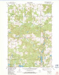 1982 Timberland1983 Print · USGSThe area surrounding Timberland in the early eighties is a landscape of glacial lakes and river forks. Genealogists and local historians can trace the rural communities at Timberland Cem, South Dewey Community Ch, and the Lookout Tower.
 - 1985 Map of Grantsburg
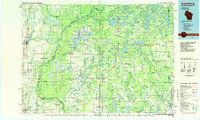 1985 Grantsburg1985 Print · USGSThe river borderlands of Minnesota and Wisconsin come alive in the mid-1980s, showcasing the intricate water networks and forest preserves of Burnett and Pine counties. Trace the rail lines of the Soo Line or find rural landmarks like Trade Lake Ch and Hildas Corner.2 unique versions available
 - 2010 Map of Timberland, 2010 Print
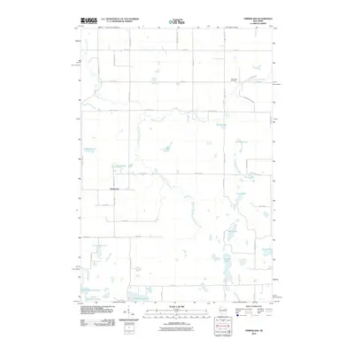 2010 Timberland2010 Print · USGSTimberland and the surrounding Wisconsin lake country are captured here in the early twenty-first century. Genealogists and researchers can trace local family roots through sites like the Clam River Cemetery or the roads near Peacock Lake and Lake Thirty Two.
 - 2013 Map of Timberland, 2013 Print
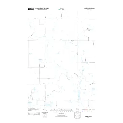 2013 Timberland2013 Print · USGSBurnett County’s glacial landscape is captured here in the early twenty-first century, showcasing a region defined by its complex water systems. You can trace the Ice Age National Scenic Trail as it meanders past Shallow Lake and the winding South Fork Clam River.
 - 2015 Map of Timberland, 2015 Print
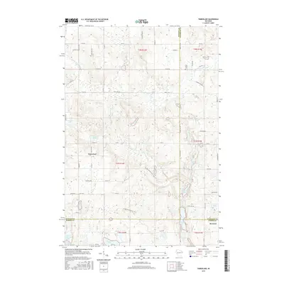 2015 Timberland2015 Print · USGSThe borderlands of Burnett and Washburn counties are revealed in this 2015 study as a dense network of kettle lakes and woodland trails. Local historians can trace the Ice Age National Scenic Trail as it passes Timberland and the Clam River Cem.
 - 2018 Map of Timberland, 2018 Print
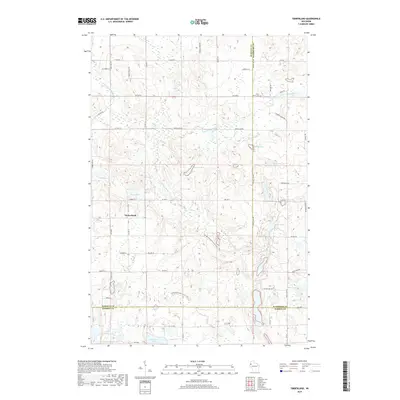 2018 Timberland2018 Print · USGSNorthwest Wisconsin's glaciated landscape is revealed here in the late 2010s, at the junction of Burnett, Washburn, and Barron Counties. Genealogists and hikers can locate the Clam River Cem and trace the winding Ice Age National Scenic Trail through the woods.
 - 2022 Map of Timberland, 2022 Print
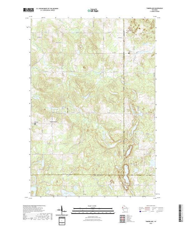 2022 Timberland2022 Print · USGSNorthwestern Wisconsin’s glacial landscape is captured here in the early twenty-first century where Burnett, Washburn, and Barron counties meet. Researchers can trace the Ice Age National Scenic Trl as it winds past Timberland and the Timberland Ringebu Cem.
End of results
Showing maps 1-14 of 14
Top cities near Timberland
- Spooner historical maps
- Cumberland historical maps
- Shell Lake historical maps
- Trego historical maps
- Beaver Brook historical maps
- Clam Falls historical maps
See more
Frequently asked questions
- What are the different types of historical maps available for Timberland?
- What is the oldest map of Timberland?
- Where can I purchase historical maps of Timberland for my home or office?
- Where can I download high-res historical maps of Timberland?
- Are there historical topographic maps available for Timberland?
- Is there historical aerial imagery available for Timberland?
- Where are historical maps of Timberland sourced from?