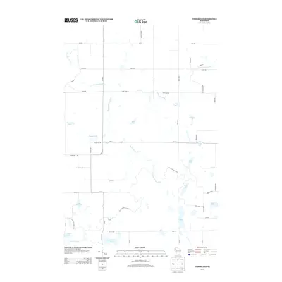
2013 Map of Timberland
USGS Topo · Published 2013About this map
The Ice Age National Scenic Trail winds through the glacial landscape of Burnett County, following the complex hydrology of the region's moraine deposits. The terrain is defined by a dense network of kettle lakes and drainage systems, most notably the confluence of the North Fork Clam River and the South Fork Clam River. These waterways, along with numerous basins like Upper Waterman Lake and Lower Waterman Lake, highlight the post-glacial topography that dictated the placement of local infrastructure. A grid of rural roads, including Co Hwy-H and Timberland Rd, navigates around the varied shorelines of Peacock Lake and Shallow Lake. The presence of labels such as Brick Yard Rd and Sawmill Rd suggests the historical importance of early local industries centered on timber and clay extraction.
Find a feature on this map
54 named features on this map. Tap any name to fly to it.
Don’t see what you’re looking for? This feature index may not catch every label — zoom into the map to look around manually.
Map Details
Editions of this 2013 Timberland Map
This is the sole edition of this map. No revisions or reprints were ever made.
Other maps of this area

1948 · Spooner
USGS Topo · 1:48,000

1949 · Hertel
USGS Topo · 1:48,000

1949 · Spooner
USGS Topo · 1:48,000

1951 · Cumberland
USGS Topo · 1:48,000

1951 · Shell Lake
USGS Topo · 1:48,000

1953 · Rice Lake
USGS Topo · 1:250,000

1953 · Stillwater
USGS Topo · 1:250,000

1955 · Hertel
USGS Topo · 1:62,500

1955 · Stillwater
USGS Topo · 1:250,000

1956 · Cumberland
USGS Topo · 1:62,500