Old Maps of Wood River, Wisconsin for Genealogy
Trace your family roots with 36 historic maps of Wood River. These high-res maps reveal old neighborhoods, homesites, landmarks, and streets — helping you uncover where your ancestors lived and how the area evolved over time.
- Explore historic neighborhoods: Identify where your relatives may have lived in the 1800s or 1900s.
- Compare maps over time: Trace the changes in streets, buildings, and landmarks for multi-generational research.
- Perfect for genealogy & ancestry research: Used by family historians and researchers to map out lineage and migration.
These maps are an incredible resource for exploring your personal connection to Wood River's past.
Wood River, WI maps
(36)- 1950 Map of Grantsburg
 1950 Grantsburg1950 Print · USGSBurnett County was a landscape of river crossings and rural outposts at mid-century, bounded by the winding St Croix River. Genealogists and historians can locate legacy sites like Ekdall Sch, Wood Lake Ch, and the village of Grantsburg.
 - 1951 Map of Milltown
 1951 Milltown1951 Print · USGSPolk County at the close of the 1940s reveals a dense network of rural schoolhouses and lakeside settlements. Trace the history of small communities like West Denmark and Cushing, or locate ancestral sites like Bethany Ch and Union Cem.
 - 1953 Map of Stillwater, 1980 Print
 1953 Stillwater1980 Print · USGSThe Twin Cities and the St. Croix Valley are captured in this mid-century survey as the interstate era began to transform the Upper Midwest. Genealogists and historians can trace the rail-and-river geography of Stillwater, locate landmarks in Anoka, or explore the sprawling St Croix State Park.
 - 1955 Map of Milltown, 1957 Print
 1955 Milltown1957 Print · USGSNorthwestern Wisconsin’s lake country is captured here in the mid-fifties, showing a landscape defined by small-scale dairy farming and glacial geography. Genealogists can locate numerous rural schoolhouses and country churches like Bethany Ch, North Valley Ch, and Alabama Sch.4 unique versions available
 - 1955 Map of Stillwater, 1965 Print
 1955 Stillwater1965 Print · USGSThe Upper St. Croix Valley and the growing Twin Cities area are shown here during the mid-fifties, before the interstate era transformed the regional commute. You can trace the lines of the Northern Pacific RR through towns like Rush City or locate the Saint Croix Indian Reservation.
 - 1958 Map of Stillwater
 1958 Stillwater1958 Print · USGSThe Upper Mississippi and St. Croix River valleys appear in the mid-fifties as the Twin Cities expanded north. Genealogists can locate family landmarks like Oak Park Cem, Saint Michael Church, and the Soo Line RR rail corridors.2 unique versions available
 - 1962 Map of Grantsburg, 1964 Print
 1962 Grantsburg1964 Print · USGSThe St. Croix River valley in the early 1960s reveals a unique landscape of wetlands and wildlife conservation. Genealogists and historians can trace rural landmarks like Ekdall Ch Cem, Midway Tabernacle, and the Old Railroad Grade.
 - 1965 Map of Stillwater
 1965 Stillwater1965 Print · USGSThe Twin Cities and the St. Croix Valley are mapped here during a period of significant post-war growth and industrial transit. Genealogists and historians can trace rail lines like the Northern Pacific RR through towns such as Rush City, Amery, and Balsam Lake.
 - 1974 Map of Milltown NW, 1976 Print
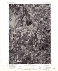 1974 Milltown NW1976 Print · USGSBurnett County lands are captured in sharp detail in the mid-1970s, showing the precise intersection of Wisconsin timber and farmland. Local historians and land researchers can trace property boundaries and farmstead footprints near the settlement of Trade River.
 - 1974 Map of Milltown NE, 1976 Print
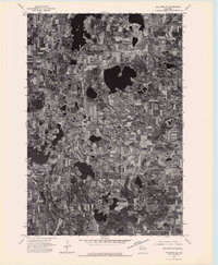 1974 Milltown NE1976 Print · USGSNorthwestern Wisconsin’s glaciated terrain is captured in detail during the mid-seventies through this aerial survey. Local historians and land researchers can trace the development of small-town rural life near Atlas and study the historic footprint of farming across this lake-heavy landscape.
 - 1975 Map of Stillwater
 1975 Stillwater1975 Print · USGSThe Twin Cities and the St. Croix Valley are captured in the mid-seventies, showing the urban growth of Minneapolis and St Paul. Researchers can trace old rail corridors of the Northern Pacific RR and locate tribal lands at the Mille Lacs Indian Reservation.2 unique versions available
 - 1982 Map of Grantsburg, 1983 Print
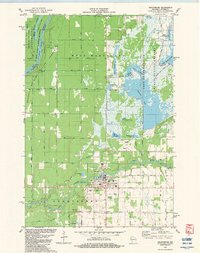 1982 Grantsburg1983 Print · USGSGrantsburg and the wetlands of Burnett County are captured here in the early eighties, where the Wood River meets a vast complex of state-managed flowages. Local historians can trace family plots at Riverside Cem or explore the outskirts of town near the County Fairground and Tobe Lake.
 - 1982 Map of Falun, 1983 Print
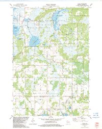 1982 Falun1983 Print · USGSBurnett County in the early eighties was a landscape of managed wetlands and quiet rural crossroads. Genealogists can trace family roots through sites like Anscarius Cem or the namesake Lundquist Road near the settlement of Falun.
 - 1983 Map of Trade Lake
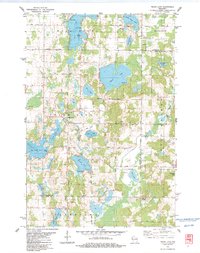 1983 Trade Lake1983 Print · USGSBurnett County and the surrounding lake country are shown here in the early 1980s, revealing a landscape of family-named lakes and rural crossroads. Genealogists and local historians can trace the sites of the Mission Ch, the Union Cem, and small settlements like Atlas and Trade Lake.
 - 1983 Map of Trade River
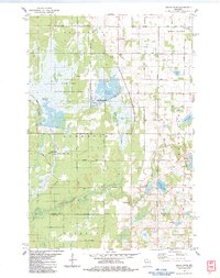 1983 Trade River1983 Print · USGSIn the early 1980s, the borderlands of Burnett and Polk Counties were defined by the managed waters of the Fish Lake State Wildlife Area and the winding Trade River. Local researchers can find family landmarks and rural heritage sites such as St Olaf Cem, Bethany Ch, and the settlement of Branstad.
 - 1985 Map of Grantsburg
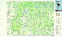 1985 Grantsburg1985 Print · USGSThe river borderlands of Minnesota and Wisconsin come alive in the mid-1980s, showcasing the intricate water networks and forest preserves of Burnett and Pine counties. Trace the rail lines of the Soo Line or find rural landmarks like Trade Lake Ch and Hildas Corner.2 unique versions available
 - 2010 Map of Trade River, 2010 Print
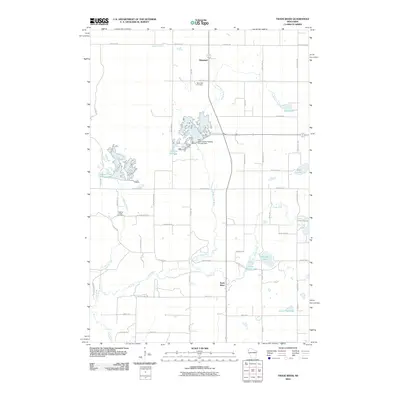 2010 Trade River2010 Print · USGSBurnett County, Wisconsin, is showcased in the late 2000s as a landscape of managed waterways and quiet rural settlements. Genealogists and local historians can trace family ties at Saint Olaf Cemetery or locate old homesteads near Branstad and Trade River.
 - 2010 Map of Falun, 2010 Print
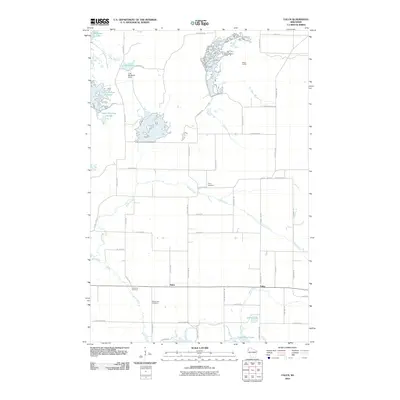 2010 Falun2010 Print · USGSBurnett County’s wetland and farming country is captured here in the early twenty-first century, featuring the intricate water systems of the Crex Meadows area. Genealogists and local historians can locate Anscarius Cemetery, the settlement of Falun, and family landmarks like Hildas Corner.
 - 2010 Map of Trade Lake, 2010 Print
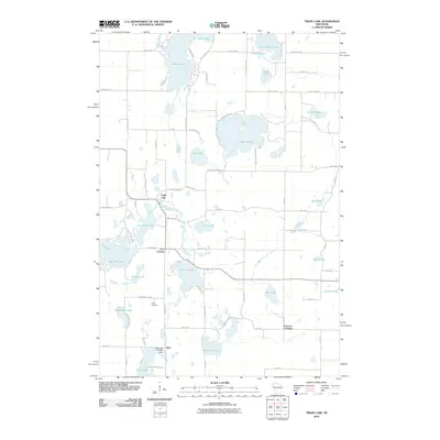 2010 Trade Lake2010 Print · USGSBurnett County’s lake country is captured here in the early twenty-first century, showing a landscape defined by glacial waters and rural crossroads. Researchers can trace local landmarks like the Atlas Feed Mill Mill Dam, Union Cemetery, and the settlement of Trade Lake.
 - 2010 Map of Grantsburg, 2010 Print
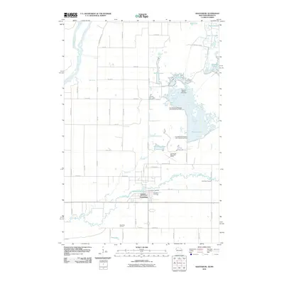 2010 Grantsburg2010 Print · USGSGrantsburg and the surrounding Burnett County wetlands are documented here in the early twenty-first century. Family historians can locate Riverside Cemetery and Wood River Cemetery, while researchers of the local landscape can trace managed waters like Phantom Lake and the Saint Croix River.
 - 2013 Map of Trade River, 2013 Print
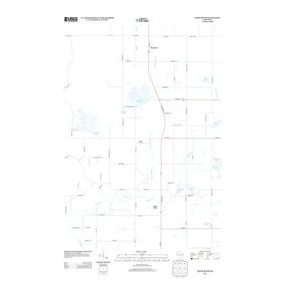 2013 Trade River2013 Print · USGSBurnett County's wetlands and rural settlements are captured here in the early twenty-first century, showing a landscape defined by the Trade River. Genealogists and local historians can locate small hubs like Branstad and agricultural landmarks like Holmes Lake Orchard.
 - 2013 Map of Trade Lake, 2013 Print
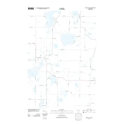 2013 Trade Lake2013 Print · USGSNorthern Wisconsin's lake country is captured here in the early twenty-first century, showing a landscape defined by glacial waters. Researchers can trace family-named landmarks like Gabrielson Lake and Grimhs Lake or the course of the Trade River.
 - 2013 Map of Grantsburg, 2013 Print
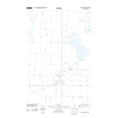 2013 Grantsburg2013 Print · USGSThe Wisconsin and Minnesota borderlands at the Saint Croix confluence appear here in the early twenty-first century, dominated by extensive flowages and wildlife refuges. Researchers can trace the local infrastructure around Memory Lake 152, Wood River, and legacy routes like Paint Mine Rd.
 - 2013 Map of Falun, 2013 Print
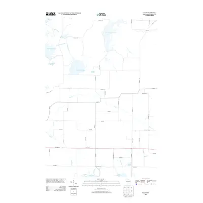 2013 Falun2013 Print · USGSBurnett County’s watery landscape is meticulously detailed here in the early twenty-first century, showing a transition from managed flowages to recreational lakes. Genealogists and locals can trace family-named routes like Lundquist Rd and find quiet landmarks near Wood Lake and Indian Lake.
 - 2015 Map of Trade Lake, 2015 Print
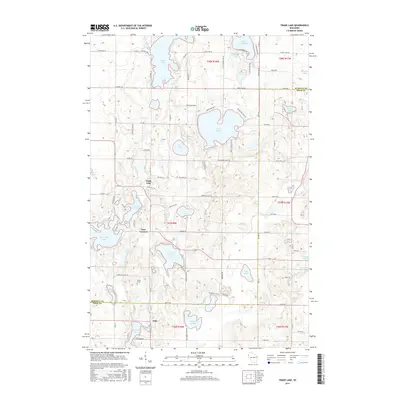 2015 Trade Lake2015 Print · USGSThe lake-strewn border between Burnett and Polk counties comes into focus in this recent survey of Wisconsin's north-country settlements. Genealogists and local historians can trace family roots around Trade Lake and Atlas, or locate the Union Cem and an ancient Indian Mound.
Showing maps 1-25 of 36
Top cities near Wood River
- Grantsburg historical maps
- Rock Creek historical maps
- Frederic historical maps
- Luck historical maps
- Trade Lake historical maps
- Siren historical maps
See more
Top neighborhoods of Wood River
Frequently asked questions
- What are the different types of historical maps available for Wood River?
- What is the oldest map of Wood River?
- Where can I purchase historical maps of Wood River for my home or office?
- Where can I download high-res historical maps of Wood River?
- Are there historical topographic maps available for Wood River?
- Is there historical aerial imagery available for Wood River?
- Where are historical maps of Wood River sourced from?