Old Maps of Lake Hallie, Wisconsin for Academic Research
Study the evolution of Lake Hallie with 24 high-resolution historic maps. Whether you're teaching, researching, or modeling changes in land use, these maps provide essential visual documentation of urban, environmental, and geographic change.
- Analyze long-term change: Track patterns in development, transportation, and natural features.
- Ideal for environmental or urban studies: Support academic projects with primary historical map data.
- Use in the classroom or lab: Educators and researchers rely on these maps to bring historical context to life.
These maps are a powerful tool for teaching, research, and visualizing how Lake Hallie has changed over the decades.
Lake Hallie, WI maps
(24)- 1934 Map of Chippewa Falls, 1967 Print
 1934 Chippewa Falls1967 Print · USGSThe Chippewa and Eau Claire River valleys are captured here in the 1930s as vital rail and water hubs. Genealogists can locate family-named landmarks like Old Badger Mills, Anson Sta, and dozens of rural schoolhouses such as Tilden Mill Sch.2 unique versions available
 - 1936 Map of Chippewa Falls
 1936 Chippewa Falls1936 Print · USGSChippewa Falls and Eau Claire are captured here in the mid-1930s, showing a landscape defined by the convergence of major rivers and the massive Lake Wissota. Trace the rail lines of the C and NW Line or locate ancestral sites like Old Badger Mills, Hallie Ch, and numerous rural schools.3 unique versions available
 - 1953 Map of Eau Claire, 1965 Print
 1953 Eau Claire1965 Print · USGSWest-central Wisconsin in the mid-fifties shows a landscape of river-valley industry and vast wildlife refuges during the transition from rails to modern highways. Genealogists and historians can trace the rail corridors of the Chicago and North Western or locate family-named landmarks like Decorah Mound and Chippewa Island.4 unique versions available
 - 1958 Map of Eau Claire
 1958 Eau Claire1958 Print · USGSWestern Wisconsin in the late fifties shows a landscape of growing regional hubs and massive wildlife refuges. Trace the rail lines of the Chicago and North Western between Eau Claire and Marshfield, or explore the terrain around Iron Mound and Lake Wissota.
 - 1964 Map of Eau Claire
 1964 Eau Claire1964 Print · USGSWest-central Wisconsin in the mid-1960s was a hub of river-driven industry and expanding rail networks. Researchers can trace historic homesteads near Menomonie, follow the Soo Line RR through Marshfield, or explore the grounds of the Camp McCoy Military Reservation.
 - 1972 Map of Chippewa Falls, 1975 Print
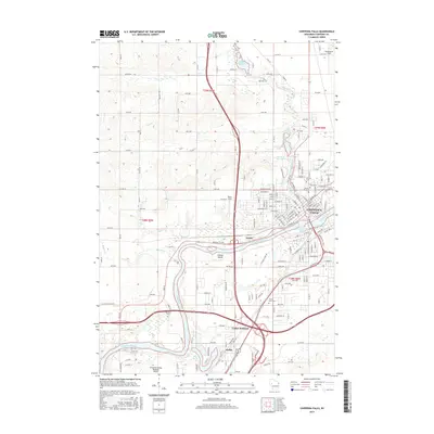
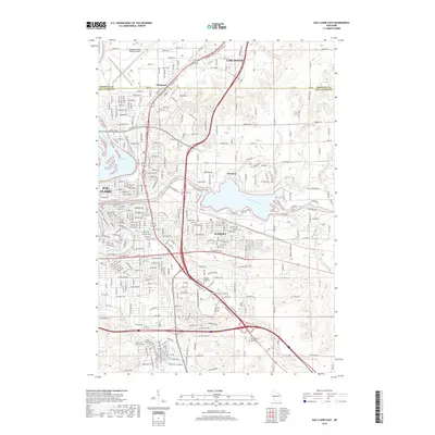
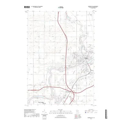
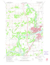 1972 Chippewa Falls1975 Print · USGSChippewa Falls is captured here in the early seventies as a thriving rail and industrial center along the Chippewa River. Genealogists and local historians can trace old family plots in Forest Hill Cemetery or locate landmarks like Old Badger Mills and the McDonell Central High School.2 unique versions available
 - 1972 Map of Lake Wissota, 1975 Print
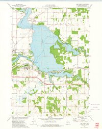 1972 Lake Wissota1975 Print · USGSLake Wissota and the eastern outskirts of Chippewa Falls are seen here in the early seventies as the area balanced recreation with industry. Trace local genealogy and infrastructure at Home Park Cem, Anson (Station), and the Soo Line railroad.
 - 1972 Map of Eau Claire East, 1975 Print
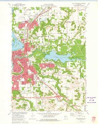 1972 Eau Claire East1975 Print · USGSThe Eau Claire area in the early seventies shows a vibrant university city expanding around the Chippewa River. Genealogists and local historians can trace neighborhood growth through numerous school sites like Davey Sch and cemeteries including Calvary Cem.2 unique versions available
 - 1985 Map of Eau Claire
 1985 Eau Claire1985 Print · USGSWestern Wisconsin's river valleys and growing mid-century cities are captured here in the mid-eighties. Genealogists and historians can trace the paths of the Chicago and North Western railroad and locate rural landmarks like Dells Millpond and Nine Mile Island.2 unique versions available
 - 2010 Map of Eau Claire East, 2010 Print
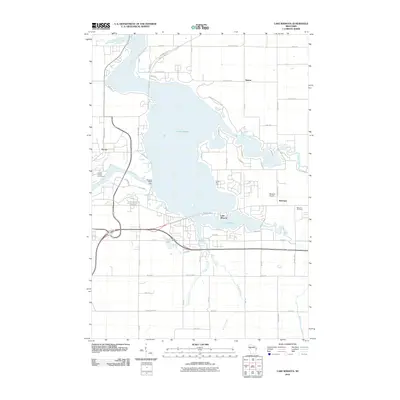
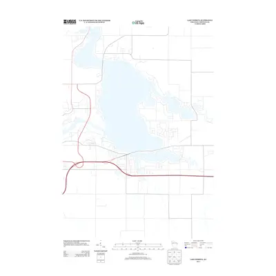
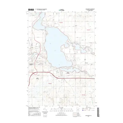
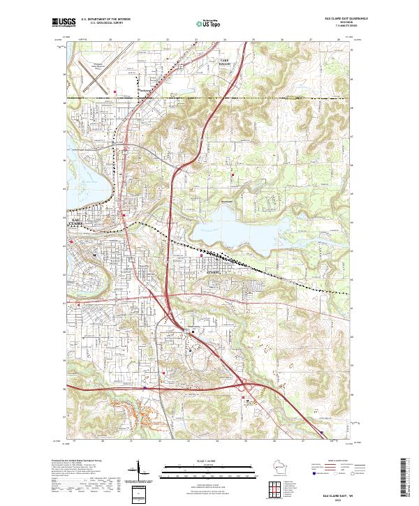
 2010 Eau Claire East2010 Print · USGSCovers Lake Hallie, including Eau Claire, Altoona, and other nearby areas
 - 2010 Map of Lake Wissota, 2010 Print
 2010 Lake Wissota2010 Print · USGSCovers Lake Hallie, including Chippewa Falls, Town of Lafayette, and other nearby areas
 - 2010 Map of Chippewa Falls, 2010 Print
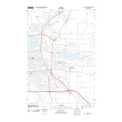
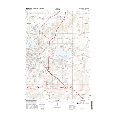
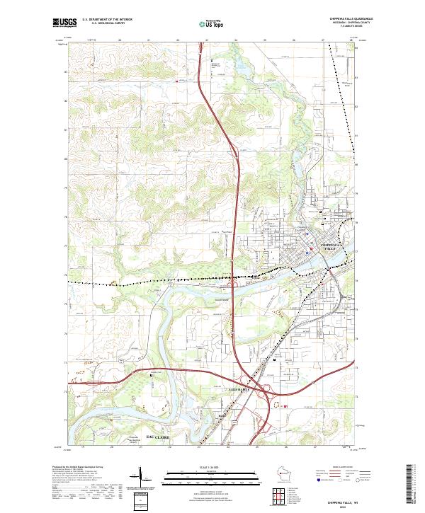
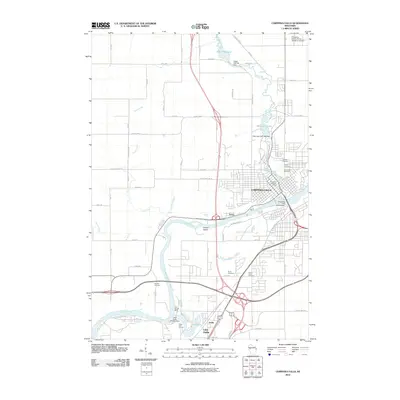 2010 Chippewa Falls2010 Print · USGSCovers Lake Hallie, including Eau Claire, Chippewa Falls, and other nearby areas
 - 2013 Map of Eau Claire East, 2013 Print
 2013 Eau Claire East2013 Print · USGSCovers Lake Hallie, including Eau Claire, Altoona, and other nearby areas
 - 2013 Map of Chippewa Falls, 2013 Print
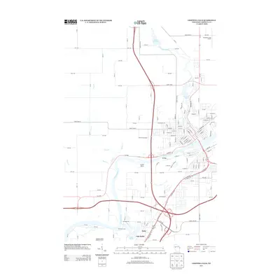 2013 Chippewa Falls2013 Print · USGSCovers Lake Hallie, including Eau Claire, Chippewa Falls, and other nearby areas
 - 2013 Map of Lake Wissota, 2013 Print
 2013 Lake Wissota2013 Print · USGSCovers Lake Hallie, including Chippewa Falls, Town of Lafayette, and other nearby areas
 - 2015 Map of Lake Wissota, 2015 Print
 2015 Lake Wissota2015 Print · USGSCovers Lake Hallie, including Chippewa Falls, Town of Lafayette, and other nearby areas
 - 2015 Map of Chippewa Falls, 2015 Print
 2015 Chippewa Falls2015 Print · USGSCovers Lake Hallie, including Eau Claire, Chippewa Falls, and other nearby areas
 - 2015 Map of Eau Claire East, 2015 Print
 2015 Eau Claire East2015 Print · USGSCovers Lake Hallie, including Eau Claire, Altoona, and other nearby areas
 - 2018 Map of Eau Claire East, 2018 Print
 2018 Eau Claire East2018 Print · USGSCovers Lake Hallie, including Eau Claire, Altoona, and other nearby areas
 - 2018 Map of Chippewa Falls, 2018 Print
 2018 Chippewa Falls2018 Print · USGSCovers Lake Hallie, including Eau Claire, Chippewa Falls, and other nearby areas
 - 2018 Map of Lake Wissota, 2018 Print
 2018 Lake Wissota2018 Print · USGSCovers Lake Hallie, including Chippewa Falls, Town of Lafayette, and other nearby areas
 - 2022 Map of Lake Wissota, 2022 Print
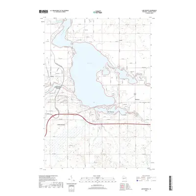
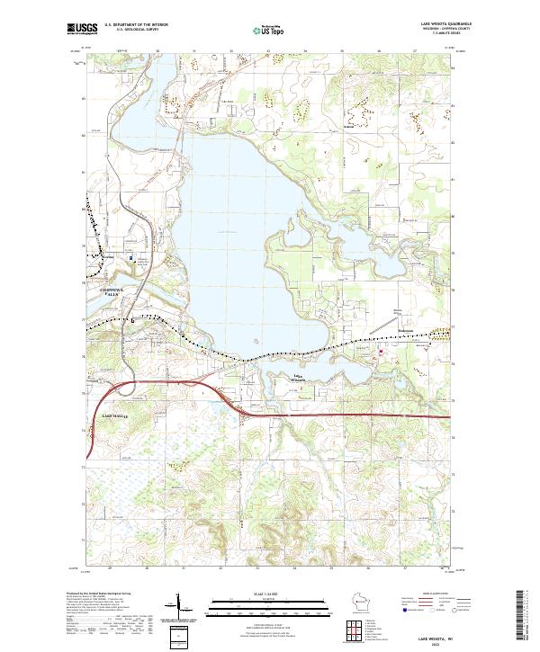 2022 Lake Wissota2022 Print · USGSThe waters of Lake Wissota and the Chippewa River define this region east of Chippewa Falls in the early 21st century. Researchers can trace local history through the Bateman Cem or follow the Old Abe State Trl through Norma.
 - 2022 Map of Eau Claire East, 2022 Print
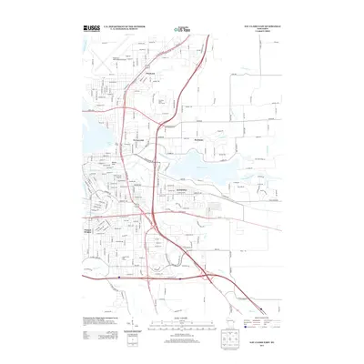
 2022 Eau Claire East2022 Print · USGSThe eastern reaches of Eau Claire and the city of Altoona are captured here during a period of significant suburban expansion in the early 2020s. Researchers can trace local landmarks like Mt Tom, the University of Wisconsin-Eau Claire, and historic burial sites such as Forest Hill Cem.
 - 2022 Map of Chippewa Falls, 2022 Print
 2022 Chippewa Falls2022 Print · USGSThe confluence of the Chippewa River and Duncan Creek anchors this recent look at the Chippewa Valley. Researchers can trace local history through the Chippewa County Courthouse and numerous burial grounds like Prairie View Cem and Forest Hill Cem.
End of results
Showing maps 1-24 of 24
Top cities near Lake Hallie
- Eau Claire historical maps
- Chippewa Falls historical maps
- Altoona historical maps
- Town of Washington historical maps
- Town of Lafayette historical maps
- Bloomer historical maps
See more
Frequently asked questions
- What are the different types of historical maps available for Lake Hallie?
- What is the oldest map of Lake Hallie?
- Where can I purchase historical maps of Lake Hallie for my home or office?
- Where can I download high-res historical maps of Lake Hallie?
- Are there historical topographic maps available for Lake Hallie?
- Is there historical aerial imagery available for Lake Hallie?
- Where are historical maps of Lake Hallie sourced from?