Old Maps of Grant, Wisconsin for Metal Detecting
Plan your next treasure hunt with 18 historic maps of Grant. Find old homesites, ghost towns, trails, and gathering spots that may be lost to time — perfect for identifying promising metal detecting locations.
- Locate forgotten sites: Uncover places like long-lost settlements, abandoned rail lines, or gathering spots.
- Plan better hunts: Use map overlays combined with LiDAR or satellite views to narrow in on historically rich areas.
- Made for detectorists: Thousands of hobbyists use these maps to discover relics, coins, and hidden history.
Use these historic maps to boost your research and find new opportunities beneath the surface of Grant.
Grant, WI maps
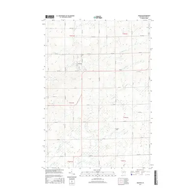
(18)- 1953 Map of Neillsville, 1955 Print
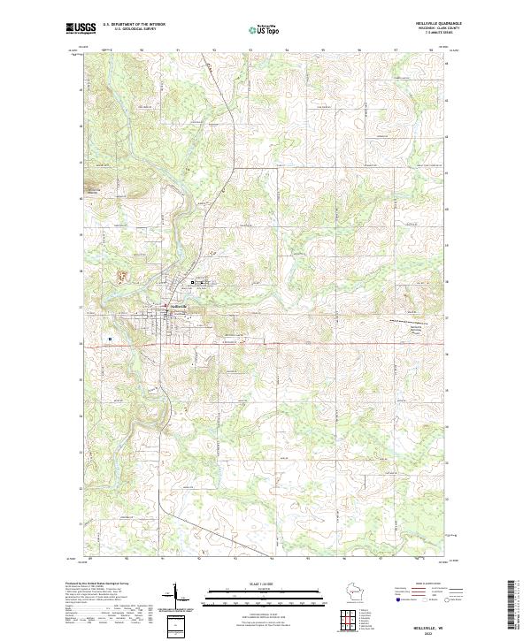
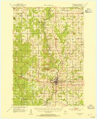 1953 Neillsville1955 Print · USGSMid-century Clark County comes into focus as a landscape of rural school districts and evolving rail corridors. Genealogists and historians can trace family locations through sites like Willard National Cemetery, York Center Ch, and over a dozen country schools including Ortole Hill Sch.2 unique versions available
 - 1953 Map of Eau Claire, 1965 Print
 1953 Eau Claire1965 Print · USGSWest-central Wisconsin in the mid-fifties shows a landscape of river-valley industry and vast wildlife refuges during the transition from rails to modern highways. Genealogists and historians can trace the rail corridors of the Chicago and North Western or locate family-named landmarks like Decorah Mound and Chippewa Island.4 unique versions available
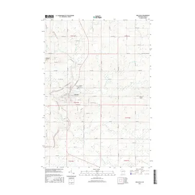
 - 1954 Map of Granton, 1956 Print
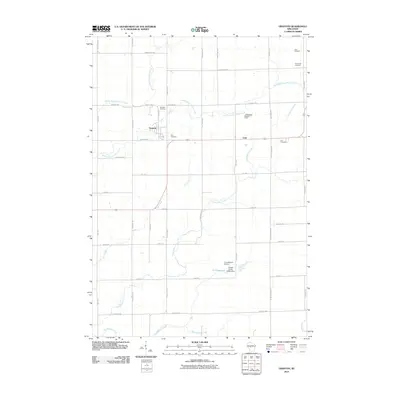
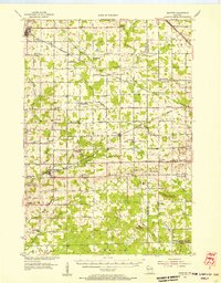 1954 Granton1956 Print · USGSCentral Wisconsin's farming heartland and rural school network are preserved here during the mid-1950s. Genealogists can locate family-named landmarks and institutions like Spokeville Sch, Grace Ch, and the high ground of Lindsey Bluffs.2 unique versions available
 - 1958 Map of Eau Claire
 1958 Eau Claire1958 Print · USGSWestern Wisconsin in the late fifties shows a landscape of growing regional hubs and massive wildlife refuges. Trace the rail lines of the Chicago and North Western between Eau Claire and Marshfield, or explore the terrain around Iron Mound and Lake Wissota.
 - 1964 Map of Eau Claire
 1964 Eau Claire1964 Print · USGSWest-central Wisconsin in the mid-1960s was a hub of river-driven industry and expanding rail networks. Researchers can trace historic homesteads near Menomonie, follow the Soo Line RR through Marshfield, or explore the grounds of the Camp McCoy Military Reservation.
 - 1979 Map of Granton, 1980 Print
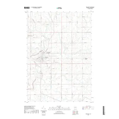
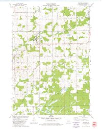 1979 Granton1980 Print · USGSGranton and the surrounding Clark County townships are shown in the late 1970s as the railroad still influenced the local economy. Researchers can locate numerous local cemeteries like Windfall Cem and Yolo Cem, along with the Zion Ch.
 - 1979 Map of Neillsville, 1980 Print
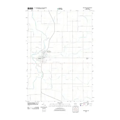
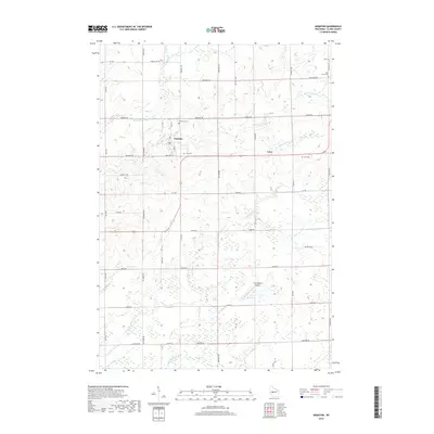
 1979 Neillsville1980 Print · USGSNeillsville and the Black River valley are shown in the late 1970s as the local rail and industrial landscape remained active. Researchers can trace the Chicago and North Western line, locate the St John Sch, or explore the Neillsville Mounds.
 - 1984 Map of Marshfield, 1985 Print
 1984 Marshfield1985 Print · USGSCentral Wisconsin's dairy heartland comes into focus during the mid-eighties as a busy network of rail and farm towns. Researchers can trace the path of the Soo Line, identify the grounds of McMillan State Wildlife Area, and locate smaller settlements like Spokeville and Tioga.2 unique versions available
 - 2010 Map of Granton, 2010 Print
 2010 Granton2010 Print · USGSCovers Grant, including Lynn, Granton, and other nearby areas
 - 2010 Map of Neillsville, 2010 Print
 2010 Neillsville2010 Print · USGSCovers Grant, including Neillsville, Levis, and other nearby areas
 - 2013 Map of Granton, 2013 Print
 2013 Granton2013 Print · USGSCovers Grant, including Lynn, Granton, and other nearby areas
 - 2013 Map of Neillsville, 2013 Print
 2013 Neillsville2013 Print · USGSCovers Grant, including Neillsville, Levis, and other nearby areas
 - 2015 Map of Granton, 2015 Print
 2015 Granton2015 Print · USGSCovers Grant, including Lynn, Granton, and other nearby areas
 - 2015 Map of Neillsville, 2015 Print
 2015 Neillsville2015 Print · USGSCovers Grant, including Neillsville, Levis, and other nearby areas
 - 2018 Map of Neillsville, 2018 Print
 2018 Neillsville2018 Print · USGSCovers Grant, including Neillsville, Levis, and other nearby areas
 - 2018 Map of Granton, 2018 Print
 2018 Granton2018 Print · USGSCovers Grant, including Lynn, Granton, and other nearby areas
 - 2022 Map of Granton, 2022 Print
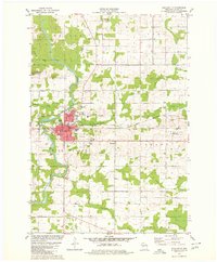
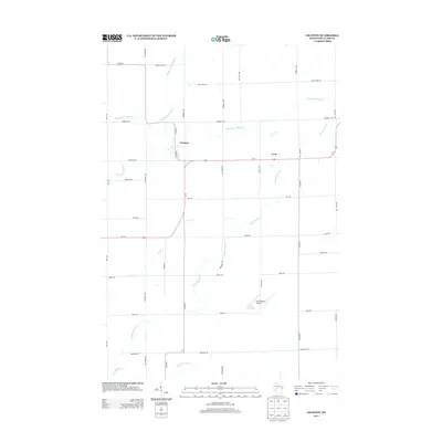
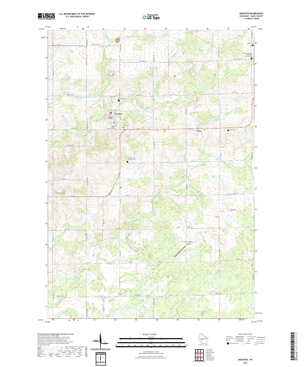 2022 Granton2022 Print · USGSGranton and the surrounding Clark County countryside appear in this contemporary survey of central Wisconsin. Researchers can trace local genealogy at Windfall Cem, Lynn Cem, or Yolo Cem and locate rural landmarks like Cunningham Airport.
 - 2022 Map of Neillsville, 2022 Print
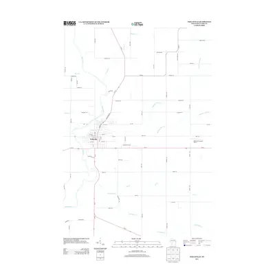
 2022 Neillsville2022 Print · USGSNeillsville serves as a detailed focal point for Clark County at the start of the 2020s, showing the town's position at the confluence of the Black River and O'Neill Creek. Genealogists can locate Saint Marys Cem and Neillsville City Cem, or trace landmarks like the Clark County Courthouse.
End of results
Showing maps 1-18 of 18
Top cities near Grant
- Brockway historical maps
- Neillsville historical maps
- Spencer historical maps
- Loyal historical maps
- Greenwood historical maps
- Lynn historical maps
See more
Frequently asked questions
- What are the different types of historical maps available for Grant?
- What is the oldest map of Grant?
- Where can I purchase historical maps of Grant for my home or office?
- Where can I download high-res historical maps of Grant?
- Are there historical topographic maps available for Grant?
- Is there historical aerial imagery available for Grant?
- Where are historical maps of Grant sourced from?