Old Maps of Hixon, Wisconsin for Hiking & Exploration
Hike through history with 36 historic maps of Hixon. Explore old trails, ghost towns, and forgotten backroads — perfect for outdoor adventurers and local explorers.
- Rediscover forgotten places: Map out old mining camps, roads, and footpaths that no longer exist on modern maps.
- Layer with modern tools: Combine with LiDAR or satellite views to plan hikes through historical terrain.
- Made for exploration: Popular among hikers, overlanders, and local history lovers.
Use these maps to find adventure and explore the hidden past of Hixon.
Hixon, WI maps
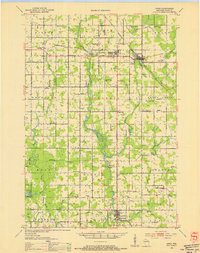
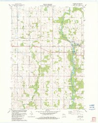
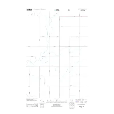
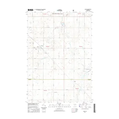
(36)- 1951 Map of Lublin, 1953 Print
 1951 Lublin1953 Print · USGSTaylor County agriculture meets the northern timberlands in the early fifties, centering on the rail hub of Lublin. Genealogists and historians can locate vanished rural schoolhouses like Redville Sch and trace the original paths of the MINNEAPOLIS ST PAUL AND SAULT STE MARIE railroad.
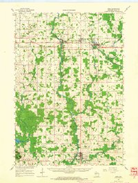
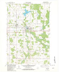
 - 1953 Map of Owen, 1955 Print
 1953 Owen1955 Print · USGSCentral Wisconsin farmland and river valleys are captured here in the early fifties, showing the peak of the rural school and church network. Researchers can trace family roots through numerous sites like Riverside Cemetery, Hoard Center Sch, and the West Beaver Church.
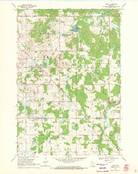
 - 1953 Map of Eau Claire, 1965 Print
 1953 Eau Claire1965 Print · USGSWest-central Wisconsin in the mid-fifties shows a landscape of river-valley industry and vast wildlife refuges during the transition from rails to modern highways. Genealogists and historians can trace the rail corridors of the Chicago and North Western or locate family-named landmarks like Decorah Mound and Chippewa Island.4 unique versions available
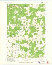
 - 1953 Map of Rice Lake, 1967 Print
 1953 Rice Lake1967 Print · USGSNorthwest Wisconsin during the mid-fifties reveals a landscape defined by timber, rail, and water. Genealogists and historians can trace the development of river towns like Ladysmith and Rice Lake along the Soo Line and Chicago and North Western railroads.2 unique versions available
 - 1958 Map of Eau Claire
 1958 Eau Claire1958 Print · USGSWestern Wisconsin in the late fifties shows a landscape of growing regional hubs and massive wildlife refuges. Trace the rail lines of the Chicago and North Western between Eau Claire and Marshfield, or explore the terrain around Iron Mound and Lake Wissota.
 - 1959 Map of Rice Lake
 1959 Rice Lake1959 Print · USGSNorthwest Wisconsin in the late fifties was a land of expanding road networks and deep-seated timber history. Genealogists and historians can trace rail lines like the Soo Line RR and Chicago St Paul Minneapolis and Omaha Ry as they link settlements from Spooner to Medford.
 - 1963 Map of Owen, 1964 Print
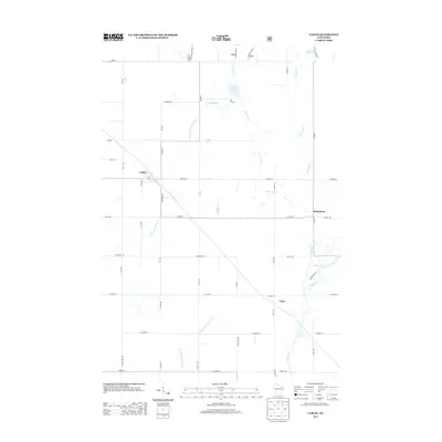
 1963 Owen1964 Print · USGSCentral Clark County comes alive in the early sixties as a network of river-towns and rural school districts. Genealogists can locate family names at St Marys Cem or trace roots at the Braun Settlement Sch and Frenchtown Sch.
 - 1964 Map of Eau Claire
 1964 Eau Claire1964 Print · USGSWest-central Wisconsin in the mid-1960s was a hub of river-driven industry and expanding rail networks. Researchers can trace historic homesteads near Menomonie, follow the Soo Line RR through Marshfield, or explore the grounds of the Camp McCoy Military Reservation.
 - 1969 Map of Lublin, 1971 Print
 1969 Lublin1971 Print · USGSWisconsin’s north-central dairy and timber country is documented here in the late sixties, centered on the village of Lublin. Researchers can trace old township boundaries and family ties at St Stanislaus Cem, Maplehurst Cem, and along the Soo Line railroad corridor.
 - 1969 Map of Lublin SE, 1971 Print
 1969 Lublin SE1971 Print · USGSTaylor County and Clark County meet in this rural 1960s landscape where the river and forest shaped local settlement. Genealogists and historians can trace family land near St Marys Ch, Poplar Grove Sch, and the winding Black River.
 - 1980 Map of Medford
 1980 Medford1980 Print · USGSNorth-central Wisconsin in the early eighties shows a landscape of dense timber and rail-linked settlements. Genealogists and historians can trace the Soo Line through towns like Medford and Westboro or locate family homesteads near Perkinstown and Athens.
 - 1982 Map of Lombard
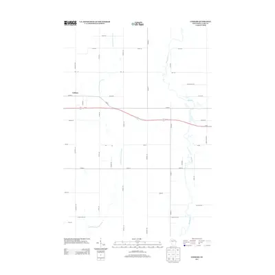
 1982 Lombard1982 Print · USGSClark County dairy country and river valleys are captured here in the early eighties as rural townships continued to modernize. Trace local family history and land use through Riverside Cem, the Soo Line tracks at Lombard, and the numerous Gravel Pits along the Black River.
 - 1982 Map of Owen
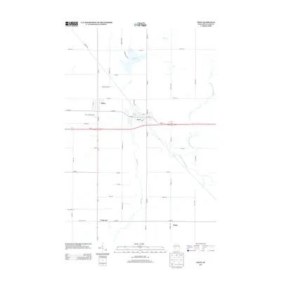
 1982 Owen1982 Print · USGSThe adjacent towns of Withee and Owen define this Clark County landscape in the early eighties as the SOO LINE RAILROAD corridor hums with activity. Genealogists can locate family landmarks like Nazareth Cem, Longwood Cem, and St John Ch.
 - 1984 Map of Marshfield, 1985 Print
 1984 Marshfield1985 Print · USGSCentral Wisconsin's dairy heartland comes into focus during the mid-eighties as a busy network of rail and farm towns. Researchers can trace the path of the Soo Line, identify the grounds of McMillan State Wildlife Area, and locate smaller settlements like Spokeville and Tioga.2 unique versions available
 - 2005 Map of Lublin SE, 2006 Print
 2005 Lublin SE2006 Print · USGSTaylor and Clark Counties at the start of the new millennium reveal a landscape of managed forests and established township life. Researchers can locate family landmarks like St Marys Ch, the Poplar Grove Sch, and several Gravel Pits along the Black River.
 - 2005 Map of Lublin, 2006 Print
 2005 Lublin2006 Print · USGSTaylor and Clark counties meet here in the early 2000s, where the national forest gives way to rural townships and river headwaters. Researchers can trace local heritage through sites like St Marys Cem, Lublin, and the Diamond Lake Recreation Area.
 - 2010 Map of Lombard, 2010 Print
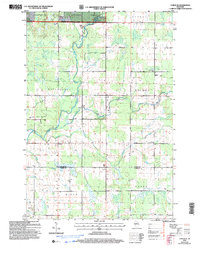
 2010 Lombard2010 Print · USGSCovers Hixon, including Owen, Reseburg, and other nearby areas
 - 2010 Map of Owen, 2010 Print
 2010 Owen2010 Print · USGSCovers Hixon, including Owen, Longwood, and other nearby areas
 - 2011 Map of Lublin, 2011 Print
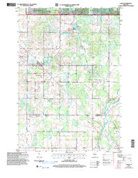
 2011 Lublin2011 Print · USGSCovers Hixon, including Maplehurst, Lublin, and other nearby areas
 - 2011 Map of Lublin SE, 2011 Print
 2011 Lublin SE2011 Print · USGSCovers Hixon, including Maplehurst, Hammel, and other nearby areas
 - 2013 Map of Lublin SE, 2013 Print
 2013 Lublin SE2013 Print · USGSCovers Hixon, including Maplehurst, Hammel, and other nearby areas
 - 2013 Map of Lublin, 2013 Print
 2013 Lublin2013 Print · USGSCovers Hixon, including Maplehurst, Lublin, and other nearby areas
 - 2013 Map of Lombard, 2013 Print
 2013 Lombard2013 Print · USGSCovers Hixon, including Owen, Reseburg, and other nearby areas
 - 2013 Map of Owen, 2013 Print
 2013 Owen2013 Print · USGSCovers Hixon, including Owen, Longwood, and other nearby areas
 - 2015 Map of Lublin, 2015 Print
 2015 Lublin2015 Print · USGSCovers Hixon, including Maplehurst, Lublin, and other nearby areas
Showing maps 1-25 of 36
Top cities near Hixon
- Thorp historical maps
- Little Black historical maps
- Greenwood historical maps
- Owen historical maps
- Chelsea historical maps
- Reseburg historical maps
See more
Frequently asked questions
- What are the different types of historical maps available for Hixon?
- What is the oldest map of Hixon?
- Where can I purchase historical maps of Hixon for my home or office?
- Where can I download high-res historical maps of Hixon?
- Are there historical topographic maps available for Hixon?
- Is there historical aerial imagery available for Hixon?
- Where are historical maps of Hixon sourced from?