Old Maps of Reseburg, Wisconsin for Hiking & Exploration
Hike through history with 32 historic maps of Reseburg. Explore old trails, ghost towns, and forgotten backroads — perfect for outdoor adventurers and local explorers.
- Rediscover forgotten places: Map out old mining camps, roads, and footpaths that no longer exist on modern maps.
- Layer with modern tools: Combine with LiDAR or satellite views to plan hikes through historical terrain.
- Made for exploration: Popular among hikers, overlanders, and local history lovers.
Use these maps to find adventure and explore the hidden past of Reseburg.
Reseburg, WI maps
(32)- 1952 Map of Stanley, 1954 Print
 1952 Stanley1954 Print · USGSStanley and Thorp anchor this central Wisconsin landscape in the early fifties as the rural schoolhouse system reaches its peak. Genealogists can locate family names at the Evergreen Cem or trace rural education at Busy Bee Sch and Sol Mohr Sch.
 - 1953 Map of Owen, 1955 Print
 1953 Owen1955 Print · USGSCentral Wisconsin farmland and river valleys are captured here in the early fifties, showing the peak of the rural school and church network. Researchers can trace family roots through numerous sites like Riverside Cemetery, Hoard Center Sch, and the West Beaver Church.
 - 1953 Map of Eau Claire, 1965 Print
 1953 Eau Claire1965 Print · USGSWest-central Wisconsin in the mid-fifties shows a landscape of river-valley industry and vast wildlife refuges during the transition from rails to modern highways. Genealogists and historians can trace the rail corridors of the Chicago and North Western or locate family-named landmarks like Decorah Mound and Chippewa Island.4 unique versions available
 - 1958 Map of Eau Claire
 1958 Eau Claire1958 Print · USGSWestern Wisconsin in the late fifties shows a landscape of growing regional hubs and massive wildlife refuges. Trace the rail lines of the Chicago and North Western between Eau Claire and Marshfield, or explore the terrain around Iron Mound and Lake Wissota.
 - 1963 Map of Owen, 1964 Print
 1963 Owen1964 Print · USGSCentral Clark County comes alive in the early sixties as a network of river-towns and rural school districts. Genealogists can locate family names at St Marys Cem or trace roots at the Braun Settlement Sch and Frenchtown Sch.
 - 1964 Map of Eau Claire
 1964 Eau Claire1964 Print · USGSWest-central Wisconsin in the mid-1960s was a hub of river-driven industry and expanding rail networks. Researchers can trace historic homesteads near Menomonie, follow the Soo Line RR through Marshfield, or explore the grounds of the Camp McCoy Military Reservation.
 - 1976 Map of Stanley NE, 1979 Print
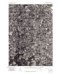 1976 Stanley NE1979 Print · USGSClark County dairy country is captured in high-detail aerial photography during the mid-seventies. Researchers can trace land use patterns around Thorp and locate rural sites near Eidsvold and the North Fork Eau Claire River.
 - 1979 Map of Thorp, 1980 Print
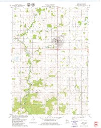 1979 Thorp1980 Print · USGSThorp and the surrounding dairy lands of Clark County are captured here in the late seventies as the rail-and-river economy persisted. Researchers can trace family heritage through numerous rural burial sites like St Hedwig Cem and the Norwegian Cem.
 - 1979 Map of Mead Lake West, 1980 Print
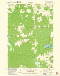 1979 Mead Lake West1980 Print · USGSClark County in the late seventies is captured here at the junction of the Eau Claire River forks and the recreation waters of Mead Lake. Genealogists and local historians can locate Butler Cem, the Townhall, and family-named water features like Dickison Creek.
 - 1982 Map of Lombard
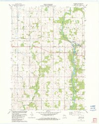 1982 Lombard1982 Print · USGSClark County dairy country and river valleys are captured here in the early eighties as rural townships continued to modernize. Trace local family history and land use through Riverside Cem, the Soo Line tracks at Lombard, and the numerous Gravel Pits along the Black River.
 - 1982 Map of Mead Lake East
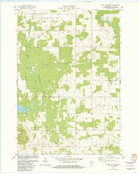 1982 Mead Lake East1982 Print · USGSClark County's rural townships are documented in the early eighties as agricultural and timber lands met the river forks. Genealogists can locate family landmarks like the Forest Hill Cem, Townhall, and the settlement of Kokaly near the Lookout Tower.
 - 1984 Map of Marshfield, 1985 Print
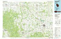 1984 Marshfield1985 Print · USGSCentral Wisconsin's dairy heartland comes into focus during the mid-eighties as a busy network of rail and farm towns. Researchers can trace the path of the Soo Line, identify the grounds of McMillan State Wildlife Area, and locate smaller settlements like Spokeville and Tioga.2 unique versions available
 - 2010 Map of Lombard, 2010 Print
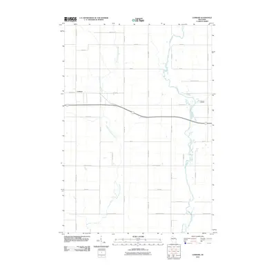 2010 Lombard2010 Print · USGSWisconsin's Clark County countryside is documented here at the turn of the decade, showing the intersection of river valleys and agricultural grids. Genealogists and local historians can trace family-named landmarks like Bachelors Ave and find Riverside Cemetery near Lombard.
 - 2010 Map of Mead Lake West, 2010 Print
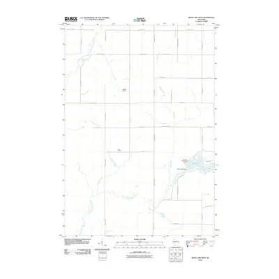 2010 Mead Lake West2010 Print · USGSIn the central Clark County countryside during the early twenty-first century, this landscape shows the confluence of the Eau Claire River forks and the recreation at Mead Lake. Genealogists and local historians can locate the Butler Cemetery and trace watercourses like Dickinson Creek and Popple River.
 - 2010 Map of Thorp, 2010 Print
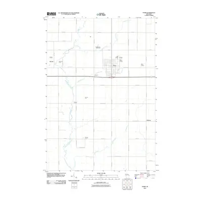 2010 Thorp2010 Print · USGSThorp and its surrounding Clark County townships are shown here in the early twenty-first century, featuring a well-developed grid of rural roads and established settlements. Genealogists can locate several family and community burial sites, including the Germanian, Norwegian, and Saint Hedwig cemeteries.
 - 2010 Map of Mead Lake East, 2010 Print
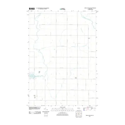 2010 Mead Lake East2010 Print · USGSWisconsin's Clark County backroads are preserved in this 2010 survey of the Mead Lake vicinity. Local historians can locate Forest Hill Cemetery, the Kokaly Lookout Tower, and the Mech G4583 Dam along the South Fork Eau Claire River.
 - 2013 Map of Lombard, 2013 Print
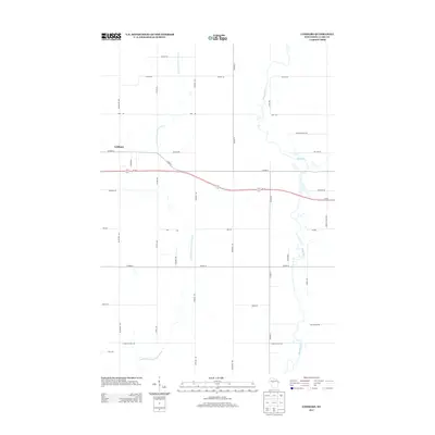 2013 Lombard2013 Print · USGSNear the turn of the twenty-first century, this Clark County landscape shows the rural layout around Lombard. Researchers can trace old family road names and waterways including Colby Factory Rd, the Black River, and French Town Ave.
 - 2013 Map of Thorp, 2013 Print
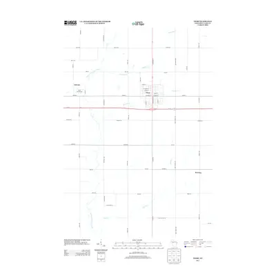 2013 Thorp2013 Print · USGSWisconsin's dairy country in Clark County is shown here in the early 21st century, centered on the crossroads of Thorp. Researchers can trace rural lineages through local landmarks like the North Fork Airport and the small outlying communities of Eidsvold and Reseburg.
 - 2013 Map of Mead Lake East, 2013 Print
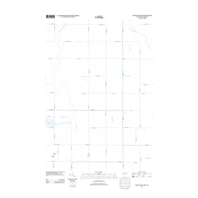 2013 Mead Lake East2013 Print · USGSRural Clark County is captured here in the early twenty-first century, showing a landscape defined by the intersection of water and wood. You can trace the path of Rocky Run toward the shores of Mead Lake 95 or locate the Kokaly Lookout Tower on its high ground.
 - 2013 Map of Mead Lake West, 2013 Print
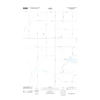 2013 Mead Lake West2013 Print · USGSMead Lake and the surrounding Clark County woodlands are captured here in the early twenty-first century. Researchers can map the intricate waterways of Bowler Valley and trace public access at Veterans Memorial County Park Camp.
 - 2015 Map of Lombard, 2015 Print
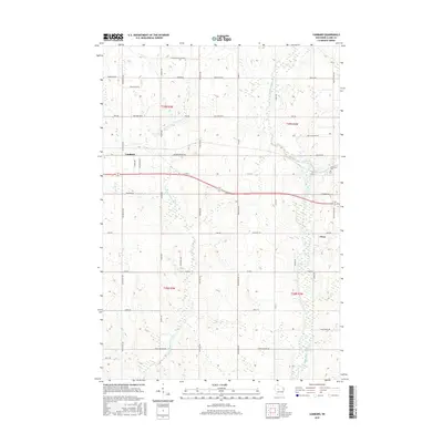 2015 Lombard2015 Print · USGSCentral Wisconsin dairy country is mapped here in the mid-2010s, showing the rural landscape between Lombard and Owen. Researchers can trace family land and local landmarks like Riverside Cem or follow the path of the Black River through the heart of the county.
 - 2015 Map of Thorp, 2015 Print
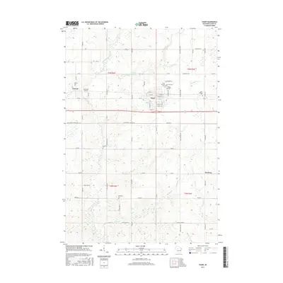 2015 Thorp2015 Print · USGSWestern Clark County is documented here during the mid-2010s, centered on the city of Thorp and the rural crossroads of Reseburg. Genealogists and local historians can locate several historic burial grounds, including the Germanian Cem and East Thorp Cem, while tracing the course of the North Fork Eau Claire River.
 - 2015 Map of Mead Lake West, 2015 Print
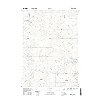 2015 Mead Lake West2015 Print · USGSWisconsin's central wetlands and river forks are captured here in the mid-2010s, showing a landscape defined by water and wood. Researchers can trace family sites at Butler Cem or examine the terrain around Mead Lake and the elevations of North Mound.
 - 2015 Map of Mead Lake East, 2015 Print
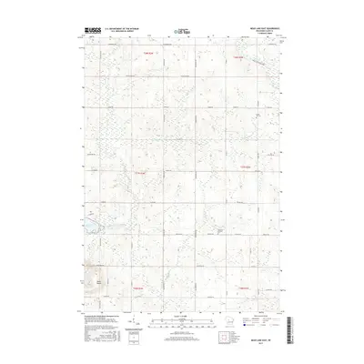 2015 Mead Lake East2015 Print · USGSReseburg and the surrounding Clark County townships are shown here in the mid-2010s, defined by a rural landscape of rivers and grid-line roads. Genealogists can locate family landmarks at Forest Hill Cem or trace the banks of Mead Lake and the South Fork Eau Claire River.
 - 2018 Map of Lombard, 2018 Print
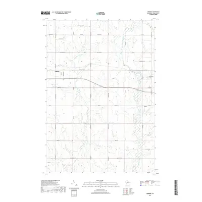 2018 Lombard2018 Print · USGSClark County dairy country is documented here in the late twenty-teens, showing the structured rural landscape west of Owen. Researchers can trace local heritage through Riverside Cem and legacy routes like Colby Factory Rd or Lombard.
Showing maps 1-25 of 32
Top cities near Reseburg
- Stanley historical maps
- Thorp historical maps
- Edson historical maps
- Greenwood historical maps
- Owen historical maps
- Colburn historical maps
See more
Frequently asked questions
- What are the different types of historical maps available for Reseburg?
- What is the oldest map of Reseburg?
- Where can I purchase historical maps of Reseburg for my home or office?
- Where can I download high-res historical maps of Reseburg?
- Are there historical topographic maps available for Reseburg?
- Is there historical aerial imagery available for Reseburg?
- Where are historical maps of Reseburg sourced from?