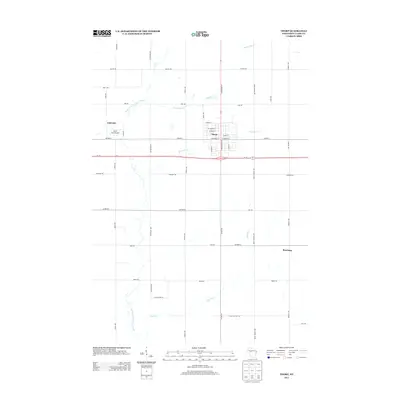
2013 Map of Thorp
USGS Topo · Published 2013About this map
Thorp serves as the central hub of this northern Clark County landscape, where the local grid of streets like E Main St and W Stanley St meets the regional transit corridor of Wi-29. The area is defined by a series of waterways, most notably the winding North Fork Eau Claire River and its tributaries, including Goggle-Eye Cr and McGrogan Cr. These streams flow through a predominantly agricultural and rural setting characterized by long, straight section-line roads such as Koser Ave and Tieman Ave.
Find a feature on this map
41 named features on this map. Tap any name to fly to it.
Don’t see what you’re looking for? This feature index may not catch every label — zoom into the map to look around manually.
Map Details
Editions of this 2013 Thorp Map
This is the sole edition of this map. No revisions or reprints were ever made.
Other maps of this area

1951 · Lublin
USGS Topo · 1:48,000

1951 · Gilman
USGS Topo · 1:62,500

1952 · Stanley
USGS Topo · 1:62,500

1953 · Owen
USGS Topo · 1:48,000

1953 · Eau Claire
USGS Topo · 1:250,000

1953 · Rice Lake
USGS Topo · 1:250,000

1958 · Eau Claire
USGS Topo · 1:250,000

1959 · Rice Lake
USGS Topo · 1:250,000

1963 · Owen
USGS Topo · 1:62,500

1964 · Eau Claire
USGS Topo · 1:250,000