Old Maps of Worden, Wisconsin for Genealogy
Trace your family roots with 31 historic maps of Worden. These high-res maps reveal old neighborhoods, homesites, landmarks, and streets — helping you uncover where your ancestors lived and how the area evolved over time.
- Explore historic neighborhoods: Identify where your relatives may have lived in the 1800s or 1900s.
- Compare maps over time: Trace the changes in streets, buildings, and landmarks for multi-generational research.
- Perfect for genealogy & ancestry research: Used by family historians and researchers to map out lineage and migration.
These maps are an incredible resource for exploring your personal connection to Worden's past.
Worden, WI maps
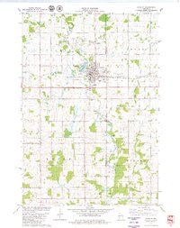
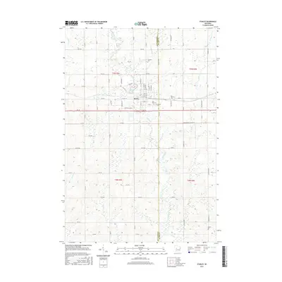
(31)- 1952 Map of Stanley, 1954 Print
 1952 Stanley1954 Print · USGSStanley and Thorp anchor this central Wisconsin landscape in the early fifties as the rural schoolhouse system reaches its peak. Genealogists can locate family names at the Evergreen Cem or trace rural education at Busy Bee Sch and Sol Mohr Sch.
 - 1953 Map of Eau Claire, 1965 Print
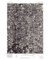
 1953 Eau Claire1965 Print · USGSWest-central Wisconsin in the mid-fifties shows a landscape of river-valley industry and vast wildlife refuges during the transition from rails to modern highways. Genealogists and historians can trace the rail corridors of the Chicago and North Western or locate family-named landmarks like Decorah Mound and Chippewa Island.4 unique versions available
 - 1958 Map of Eau Claire
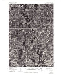
 1958 Eau Claire1958 Print · USGSWestern Wisconsin in the late fifties shows a landscape of growing regional hubs and massive wildlife refuges. Trace the rail lines of the Chicago and North Western between Eau Claire and Marshfield, or explore the terrain around Iron Mound and Lake Wissota.
 - 1964 Map of Eau Claire
 1964 Eau Claire1964 Print · USGSWest-central Wisconsin in the mid-1960s was a hub of river-driven industry and expanding rail networks. Researchers can trace historic homesteads near Menomonie, follow the Soo Line RR through Marshfield, or explore the grounds of the Camp McCoy Military Reservation.
 - 1976 Map of Stanley NE, 1979 Print
 1976 Stanley NE1979 Print · USGSClark County dairy country is captured in high-detail aerial photography during the mid-seventies. Researchers can trace land use patterns around Thorp and locate rural sites near Eidsvold and the North Fork Eau Claire River.
 - 1976 Map of Stanley NW, 1979 Print
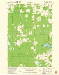
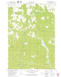
 1976 Stanley NW1979 Print · USGSNear the close of the 1970s, the area around Stanley was a patchwork of active dairy farms and river bottomlands. This aerial survey allows for a detailed study of mid-century rural development along the Wolf River and its surrounding woodlots.
 - 1979 Map of Thorp, 1980 Print
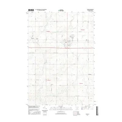
 1979 Thorp1980 Print · USGSThorp and the surrounding dairy lands of Clark County are captured here in the late seventies as the rail-and-river economy persisted. Researchers can trace family heritage through numerous rural burial sites like St Hedwig Cem and the Norwegian Cem.
 - 1979 Map of Mead Lake West, 1980 Print
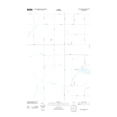
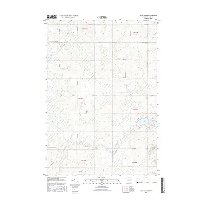
 1979 Mead Lake West1980 Print · USGSClark County in the late seventies is captured here at the junction of the Eau Claire River forks and the recreation waters of Mead Lake. Genealogists and local historians can locate Butler Cem, the Townhall, and family-named water features like Dickison Creek.
 - 1979 Map of Stanley, 1980 Print
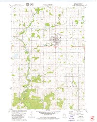
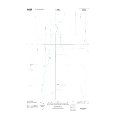
 1979 Stanley1980 Print · USGSThe town of Stanley and the surrounding Wisconsin dairy country are captured in the late seventies. Genealogists and researchers can trace local family landmarks like Evergreen Cem, St Marys Ch, and the rail corridor of the SOO LINE RAILROAD.
 - 1979 Map of Simes Creek, 1980 Print
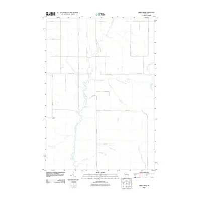
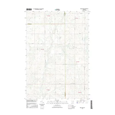
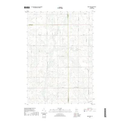
 1979 Simes Creek1980 Print · USGSThe borderlands of Eau Claire, Chippewa, and Clark counties are mapped here in the late seventies. Researchers can locate specific rural landmarks such as Hamilton Falls, the Wilson Lookout Tower, and the Pleasant Valley Ch.
 - 1984 Map of Marshfield, 1985 Print
 1984 Marshfield1985 Print · USGSCentral Wisconsin's dairy heartland comes into focus during the mid-eighties as a busy network of rail and farm towns. Researchers can trace the path of the Soo Line, identify the grounds of McMillan State Wildlife Area, and locate smaller settlements like Spokeville and Tioga.2 unique versions available
 - 2010 Map of Stanley, 2010 Print
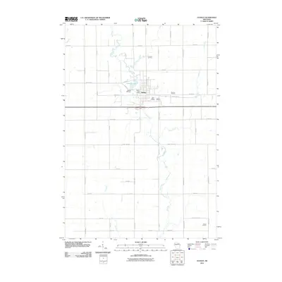 2010 Stanley2010 Print · USGSCovers Worden, including Stanley, Edson, and other nearby areas
 - 2010 Map of Mead Lake West, 2010 Print
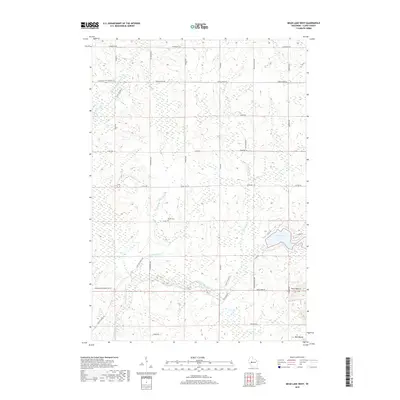
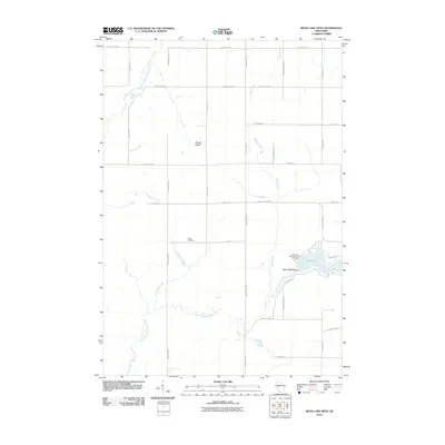 2010 Mead Lake West2010 Print · USGSCovers Worden, including Reseburg, Hendren, and other nearby areas
 - 2010 Map of Simes Creek, 2010 Print
 2010 Simes Creek2010 Print · USGSCovers Worden, including Edson, Wilson, and other nearby areas
 - 2010 Map of Thorp, 2010 Print
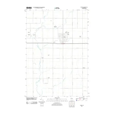 2010 Thorp2010 Print · USGSCovers Worden, including Thorp, Reseburg, and other nearby areas
 - 2013 Map of Stanley, 2013 Print
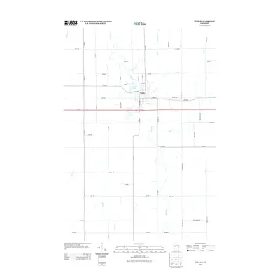 2013 Stanley2013 Print · USGSCovers Worden, including Stanley, Edson, and other nearby areas
 - 2013 Map of Thorp, 2013 Print
 2013 Thorp2013 Print · USGSCovers Worden, including Thorp, Reseburg, and other nearby areas
 - 2013 Map of Simes Creek, 2013 Print
 2013 Simes Creek2013 Print · USGSCovers Worden, including Edson, Wilson, and other nearby areas
 - 2013 Map of Mead Lake West, 2013 Print
 2013 Mead Lake West2013 Print · USGSCovers Worden, including Reseburg, Hendren, and other nearby areas
 - 2015 Map of Simes Creek, 2015 Print
 2015 Simes Creek2015 Print · USGSCovers Worden, including Edson, Wilson, and other nearby areas
 - 2015 Map of Thorp, 2015 Print
 2015 Thorp2015 Print · USGSCovers Worden, including Thorp, Reseburg, and other nearby areas
 - 2015 Map of Stanley, 2015 Print
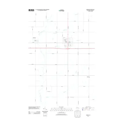
 2015 Stanley2015 Print · USGSCovers Worden, including Stanley, Edson, and other nearby areas
 - 2015 Map of Mead Lake West, 2015 Print
 2015 Mead Lake West2015 Print · USGSCovers Worden, including Reseburg, Hendren, and other nearby areas
 - 2018 Map of Simes Creek, 2018 Print
 2018 Simes Creek2018 Print · USGSCovers Worden, including Edson, Wilson, and other nearby areas
 - 2018 Map of Mead Lake West, 2018 Print
 2018 Mead Lake West2018 Print · USGSCovers Worden, including Reseburg, Hendren, and other nearby areas
Showing maps 1-25 of 31
Top cities near Worden
- Stanley historical maps
- Thorp historical maps
- Edson historical maps
- Owen historical maps
- Colburn historical maps
- Reseburg historical maps
See more
Frequently asked questions
- What are the different types of historical maps available for Worden?
- What is the oldest map of Worden?
- Where can I purchase historical maps of Worden for my home or office?
- Where can I download high-res historical maps of Worden?
- Are there historical topographic maps available for Worden?
- Is there historical aerial imagery available for Worden?
- Where are historical maps of Worden sourced from?